Location
New South Wales,
AU
Distance
47.2 km
Vertical Gain
869 m
Description
GPS Track
Brisbane Water Bush Bash.gpx144.87 KB
FKTs
Female
Male
| Monika Ludriks | 4h 39m 36s | ||||
| Julie Brock, Joann Litterick | 6h 35m 57s |
| Joasia Zakrzewski | 4h 53m 31s |
| Andrew Scott | 6h 18m 37s |
Female
| Julie Brock | 13h 36m 20s |
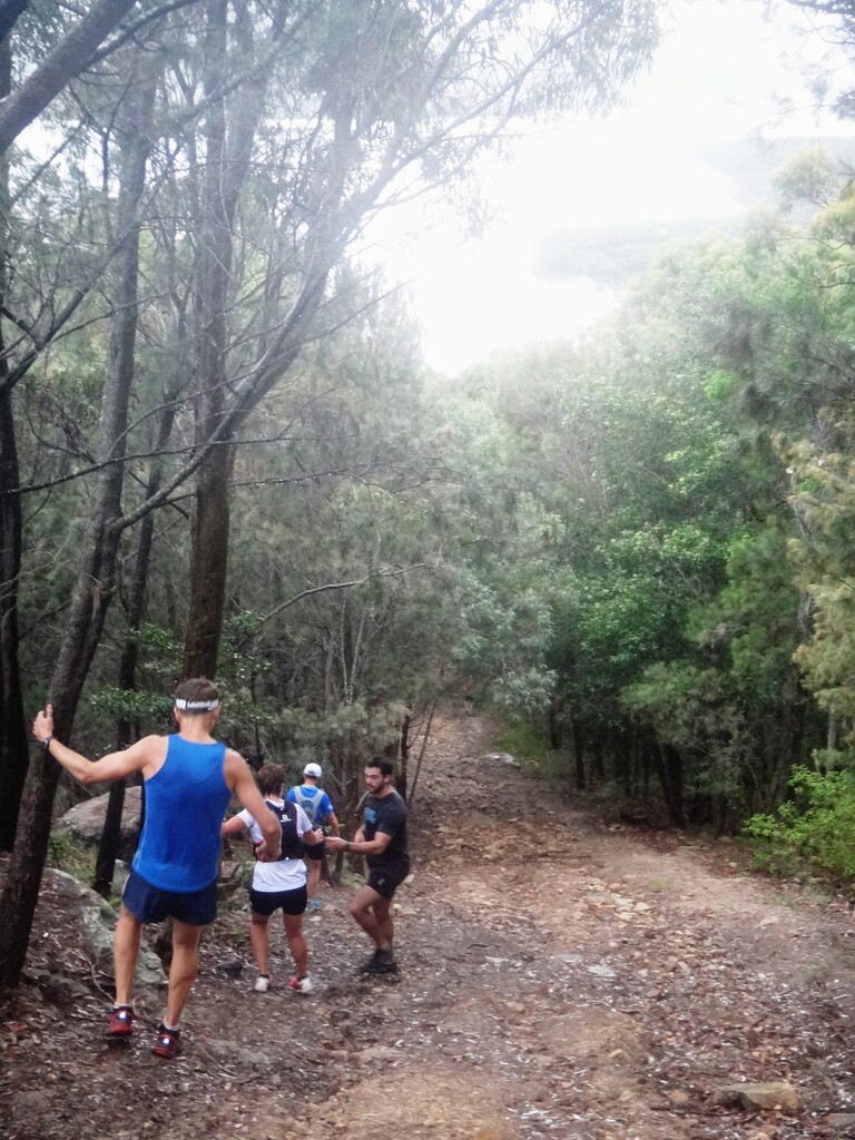
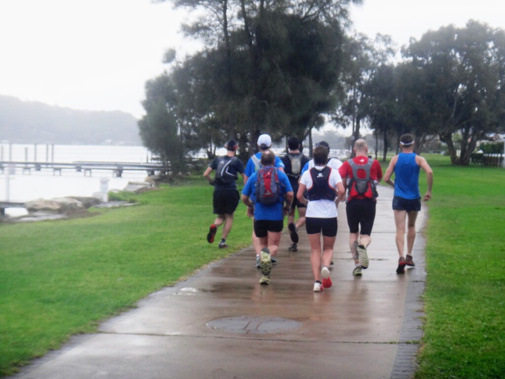
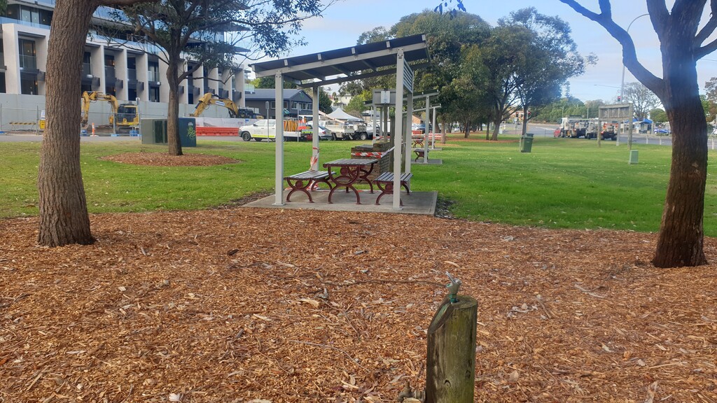
Images