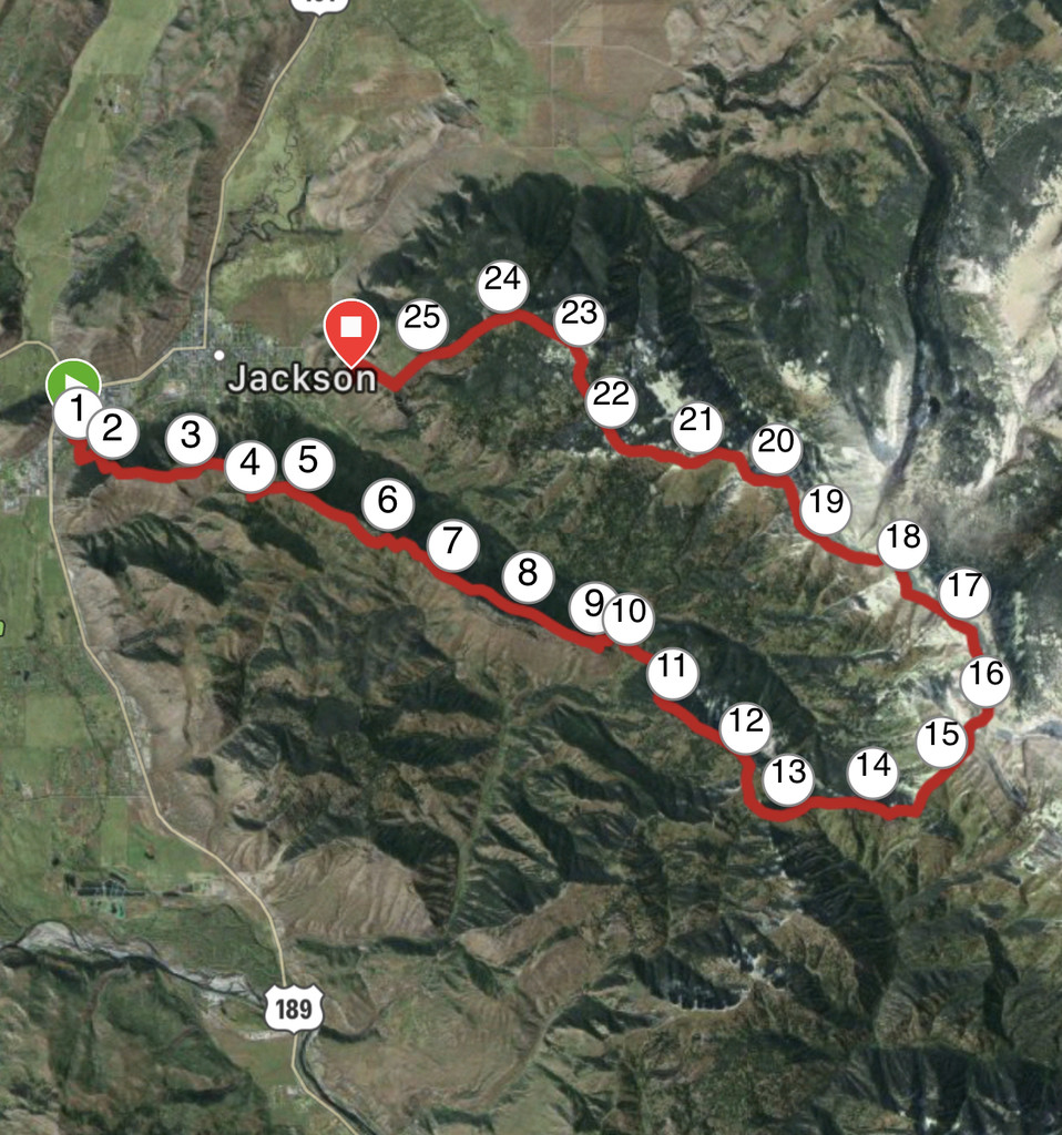
Location
Wyoming,
US
Distance
25.7 mi
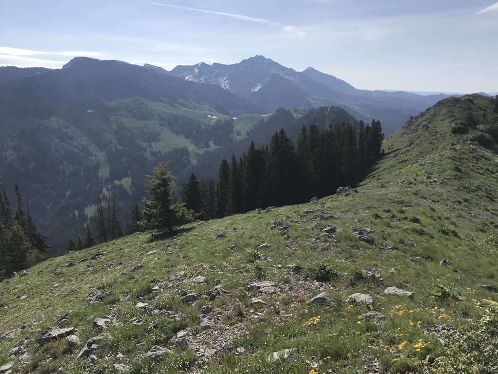
Description
GPS Track
Cache_Dash_Traverse.gpx557.31 KB
FKTs
Male
Female
Mixed-gender team
| Chip DuRoss | 9h 53m 26s | ||||
| Cameron Galt, Jake Vanderwell | 11h 12m 12s |
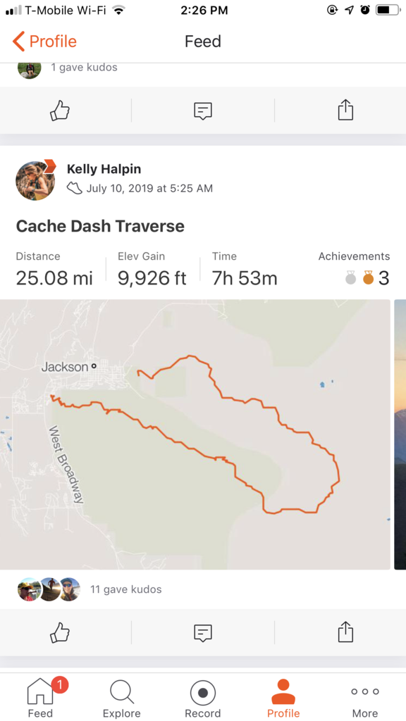
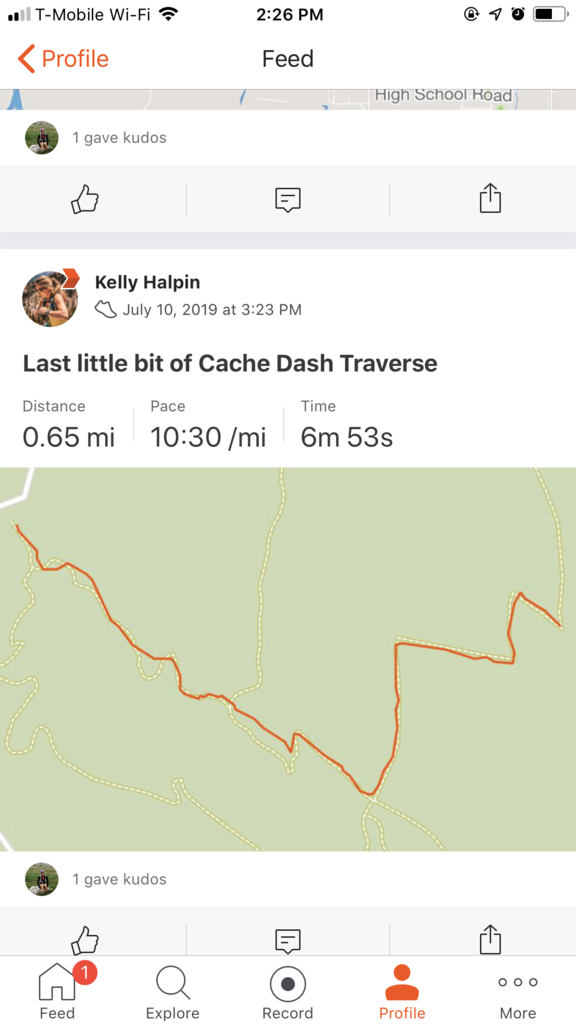
| Kelly Halpin | 10h 6m 0s |
| Ethan Campbell, Kym Sutton | 11h 51m 35s |
Images