The Trinity Alps Wilderness, located in northwestern California, is home to more than 600 miles of trails and encompasses more than 500 acres of land. It is the second largest wilderness area in California after having doubled in size when the 1984 California Wilderness Act was passed. That same year it was added to the Wilderness Preservation System.
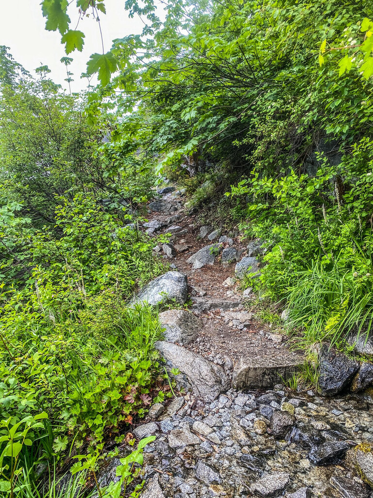
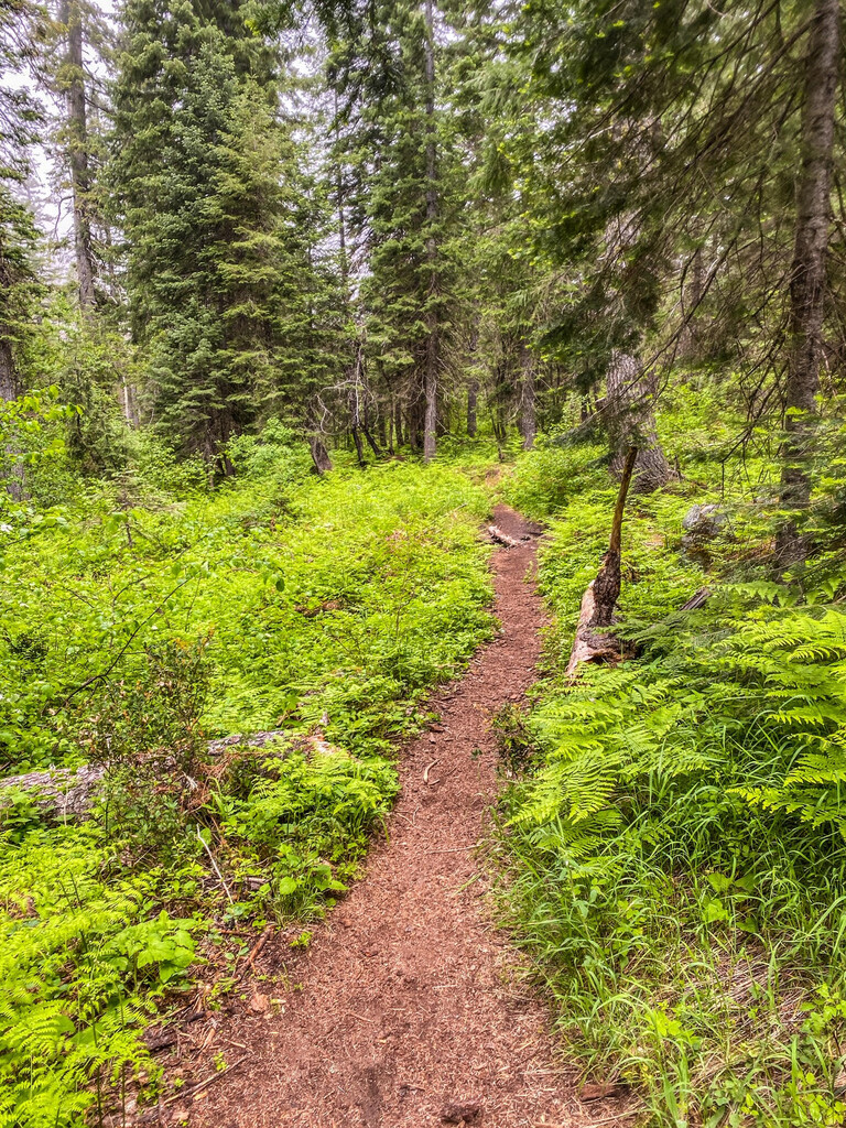
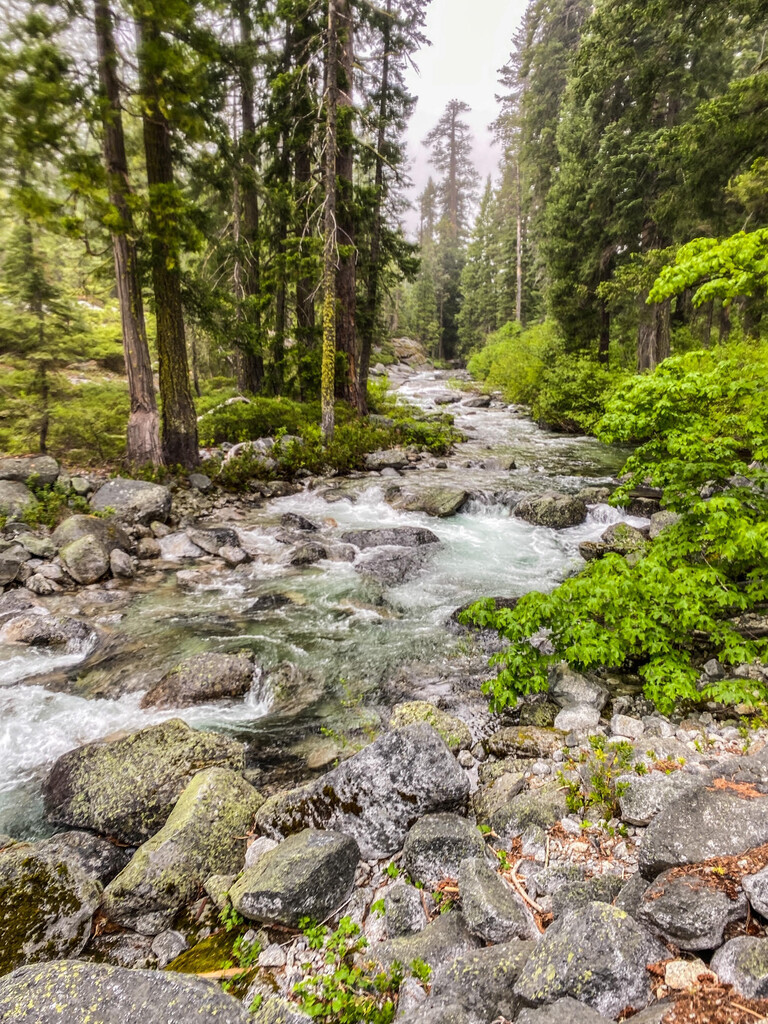
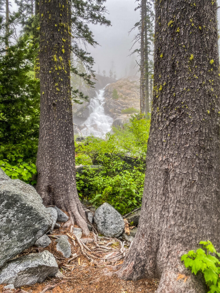
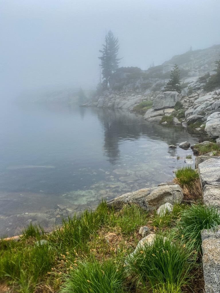
The landscape of the Trinity Alps is quite diverse. Creek drainages drop as low as 2,000 ft and surrounding summits top 9,000 ft. Dotted throughout are immaculate alpine lakes and rugged granite peaks. The trail network is intricate and well established.
The Trinity Alps have long been a well kept secret. Locals in surrounding towns, such as Weaverville and Trinity Center, have enjoyed the tranquility and remote feeling while out in their backyard terrain. More and more, visitation from population centers like the Bay Area, Sacramento and Portland has increased. It’s common to have a hard time finding parking at the many trailheads including those a little further in and off the main highways.
You can learn more about the Trinity Alps Wilderness on the Shasta-Trinity National Forest Website HERE.
This route, the Canyon Creek Lakes Out & Back, is considered one of the most popular hikes/runs in the Trinity Alps. The trailhead is fairly simple to get to (see notes below) and the trail is well established, lower angle and simple to navigate. At the trail's highpoint, you’ll find yourself at two pristine alpine lakes surrounded by massive granite walls and high peaks including Thompson Peak, the high point of the Trinity Alps Wilderness.
To access the trailhead, travel east or west on California Highway 299 to Junction City. Once there (Junction City), look for signage and a turn off which heads north onto Canyon Creek Road. Simply follow this all the way until it dead ends at the trailhead, approximately 13.2 miles. You’ll pass through a residential area and multiple narrow canyon road sections. Two single lane bridges are encountered up higher. Just before the trailhead is Ripstein Campground. The road is well maintained up until the campground. It then is a little broken up although a low clearance 2WD car can make it just fine. Once at the trailhead be mindful of parking. Being that this is one of the more popular Trinity Alps Wilderness sites, parking gets taken up quickly on the weekend. DO NOT PARK in the trailer only parking area. This is meant primarily for horse/mule packers and they DO NOT appreciate non-compliance. Plus, the Forest Service will most likely ticket you.
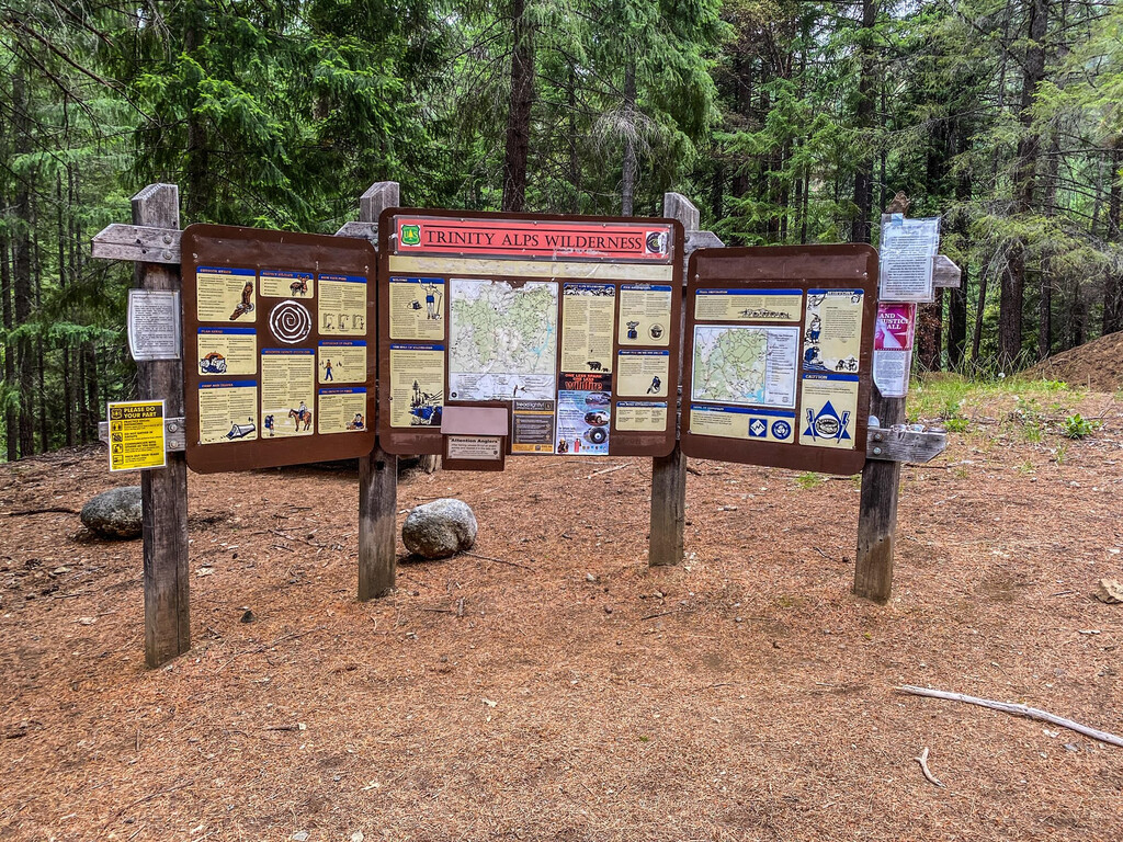
The route is pretty simple. Start at the obvious large kiosk in the parking lot. Ascend the main trail up to lower Canyon Creek Lake. Follow the carined scramble (non-technical) to the upper lake. Return the same way back to the kiosk.
Don’t forget to look up! It’s beautiful terrain!!
**Pictures below were taken on a cloudy day. One of the few. Bad luck when going up there for the first time and gathering the GPX file for this submission.
When you're done, consider stopping in Weaverville for some food/beverage. Weaverville is east on Highway 299, 8.3 miles from Junction City. Grab a beverage at the Trinity Country Brewery, take a stroll down historic main street, grab ice cream at The Confectionary, absorb some history at the local museum or get a coffee to go at Mamma Lamas.
Adding the out & back to Boulder Lakes adds about 3 miles and ~800' of elevation gain. You should go to the shore of the largest of the Boulder Lakes before turning around.