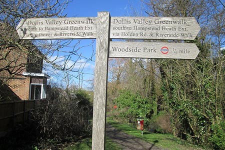
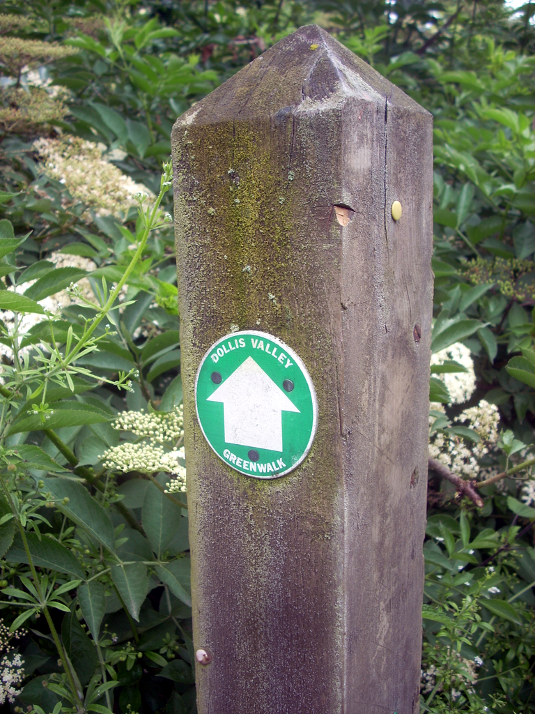
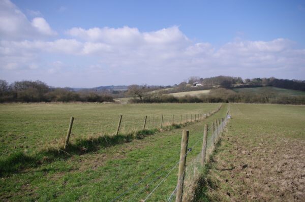
Route: Dollis Valley Greenwalk (United Kingdom)

Submitted by David Bone on Tue, 08/11/2020 - 07:42am
Location
United Kingdom
Distance
16 km
Vertical Gain
125 m
Description

Dollis Valley Greenwalk is a 10-mile riverside route from Mill Hill to the northern fringes of Hampstead Heath linking areas of public open space along the valley of the Dollis Brook, a tributary of the Brent, that rises near Arkley. It passes through Moat Mount Nature Reserve, Barnet Gate Wood, an ice age forest remnant, Totteridge Fields, and under Mill Hill viaduct.

Most of the route is moderately flat and surfaced

The path is waymarked with white direction arrows on a green disc. The route was developed and implemented by the London Borough of Barnet in 1992, it now forms part of Walk London’s extensive network of walks and provides a link in both the London LOOP and the Capital Ring.

https://www.ldwa.org.uk/ldp/members/show_path.php?path_name=Dollis+Valley+Greenwalk

https://www.barnet.gov.uk/sites/default/files/assets/citizenportal/documents/parkssportandleisure/DollisValleyGreenwalkGuide2014.pdf

GPS Track
Images