Route: Flagstaff AZT Loop (AZ)

Submitted by marcy_beard on Tue, 04/06/2021 - 12:31pm
Location
Arizona, US
Distance
44 mi
Vertical Gain
4,000 ft
Description

The Arizona Trail (AZT) has two possible paths around Flagstaff.  One is for hikers and bikers, while the other split also allows horses.  Basically, "Pedestrian" and "Equestrian" options.  The pedestrian half goes through town while the equestrian side bypasses Flagstaff to the east.

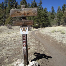
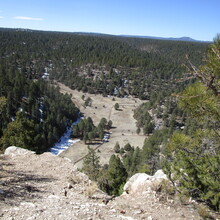
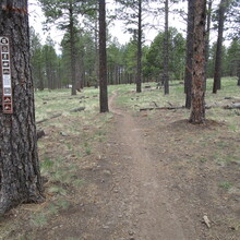
This route is a loop that encompasses both halves.  It includes Buffalo Park, Schultz Pass and a tour around Mount Elden, Picture Canyon, the rim of Walnut Canyon, Fisher Point, and a crossing of Historic Route 66.  It's a relatively small but highly enjoyable way to experience the AZT amid ponderosa pine trees.

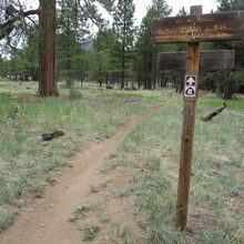
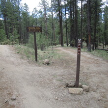
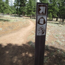
A runner can start/finish at any spot around the loop and proceed in either direction, as long as they cover the entire length of the loop on the Arizona Trail (including any route updates as the trail evolves).  The trail is mostly well-signed.

For trail maps and any route changes, see parts of sections 31 through 34 of the AZT:

https://aztrail.org/explore/passages/


GPS Track

Comments

User Picture
Profile picture for user marcy_beard

Heading out for an AZT loop run tomorrow, hoping it's not too big a distance jump for my current training level.  Should be a nice day for a trek through the pines, at least.  Tracker will be on:

https://share.garmin.com/MarcyBeard