Ann Arbor, Michigan FKT route that brings together some of the favorite trails that run alongside the Huron River - which I have dubbed "The Huron River Gallup". As someone who is exploring FKT routes here in the state, I am eager to find things that are a bit more feasible for a solo adventure where you can start/stop in the same spot as opposed to long straight paths that are one-way. As such, I am hopeful that this will be a scenic, attractive run for local Michigan trail runners (or those visiting from out of town) who want to cover some of the favorite trails in A2. It is my hope that this will be a fun fast route for future runners to enjoy. Happy trails!
Route details:
Distance - my Strava landed this at exactly 18 miles if you run the little loop around the sign.
Elevation - essentially flat by nature of the geography :)
Start/Stop - Gallup Park Sign (see photo)
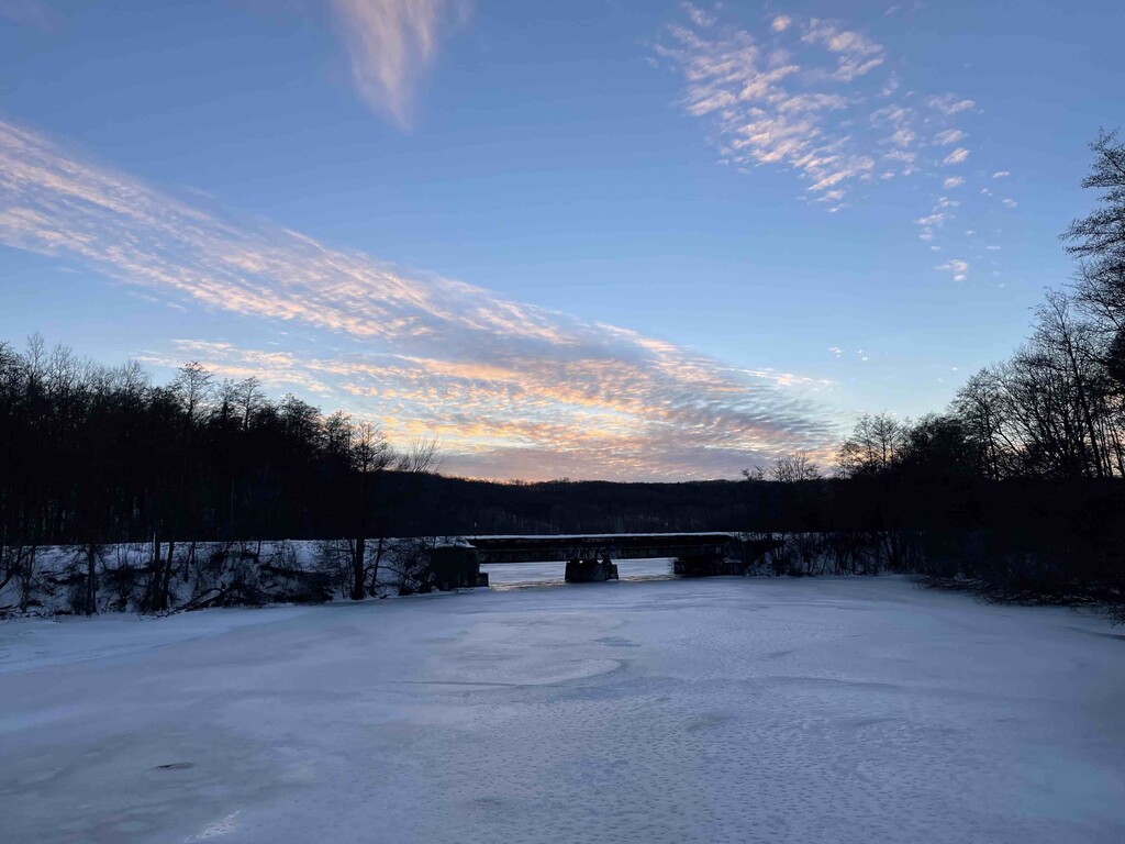
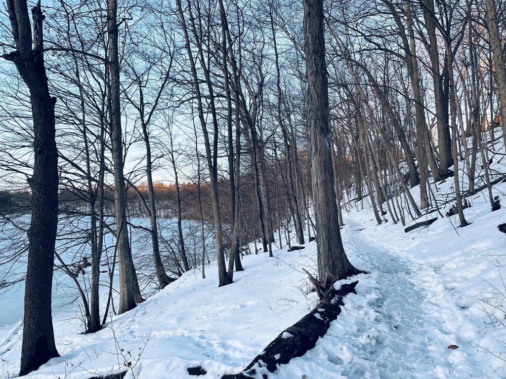
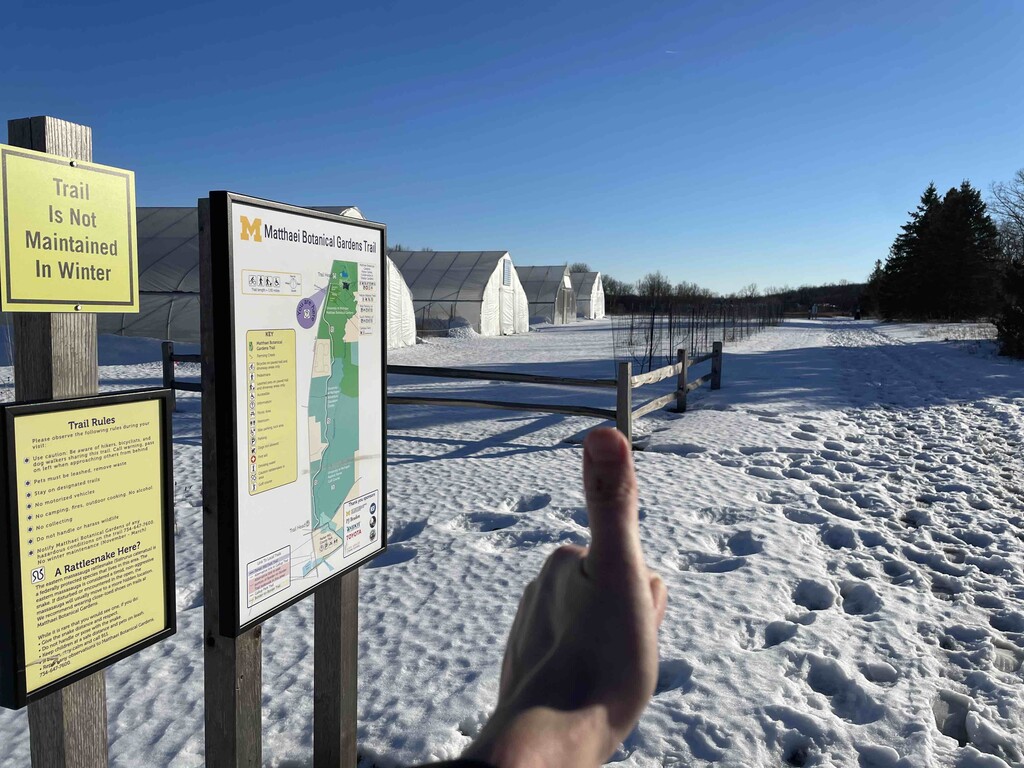
Play by play: the goal is to start (and end) at the Gallup Park sign (see photo). There is plenty of parking around that area. After tagging the sign and starting your watch, you run along the Huron River to connect with the Gallup Park Trail. Run this the entire way until you reach the Matthaei Botanical Garden Trail. At the end of this trail (where all the greenhouses are located - see photo) - this is the turnaround point. You will then backtrack some miles on this trail on what is generally a wide, paved path (but is NOT maintained in the winter). You then run back towards Gallup on the opposite side of the river that you had started on and cover the B2B trail. But instead of stopping at your car (which could theoretically serve as an aid station if you needed water/refuel, etc.), you continue to run the B2B until you hit Fuller Road. You then run along that road and connect on the trail that runs through Riverside Park and then the Argo Cascades. You then transition to the Argo Nature Trail (there is a bathroom right before this if you need a pit stop). You continue along this trail until crossing the river at Huron Bridge Park. From there, you head back on the B2B via Bandemer Park. You then go back through Argo Cascades and Riverside Park. However, instead of going back to Fuller Road, you go through the more scenic Fuller Park and return to the B2B that takes you right back to the Gallup sign. Run around the mini circle right around the sign, and tag the sign to make it an even 18 miles (per Strava). I had failed to start my Garmin right at the very start and was off by about 0.75 miles so it looks like it correlates pretty well to be just about 17.5-18miles. Basically - the goal is to optimize time running along the river, enjoy connecting some of Ann Arbor's favorite trails, and to be something that someone can easily do unsupported or self-supported. Enjoy!