Location
Washington,
US
Distance
10 mi
Vertical Gain
3,737 ft
Description
GPS Track
FKTs
Male
Female
| Dustin Mullaney | 1h 37m 21s | ||||
| Noah Dusseau | 1h 42m 1s | ||||
| Christian Canham | 1h 46m 54s | ||||
| Andrew Bachman | 1h 56m 49s | ||||
| Ethan Linck | 1h 57m 44s | ||||
| Nick Hirdt | 2h 4m 44s |
| Caroline Corcoran | 2h 2m 15s | ||||
| Isabel Lane | 2h 7m 56s | ||||
| Kristina Randrup | Flagged | 2h 15m 48s | |||
| Anna Maxwell | 2h 19m 9s | ||||
| Malia Hee | Flagged | 2h 21m 5s |
| Kristina Randrup | 2h 28m 33s | ||||
| Elizabeth Glenn | 2h 46m 47s |
Male
Female
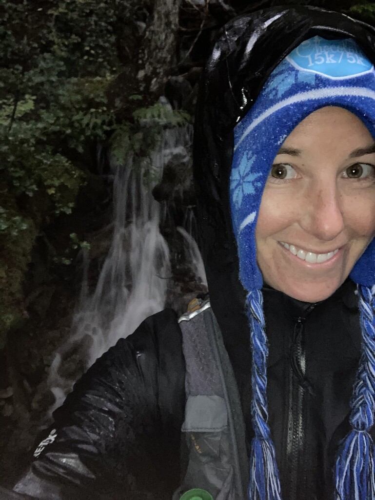
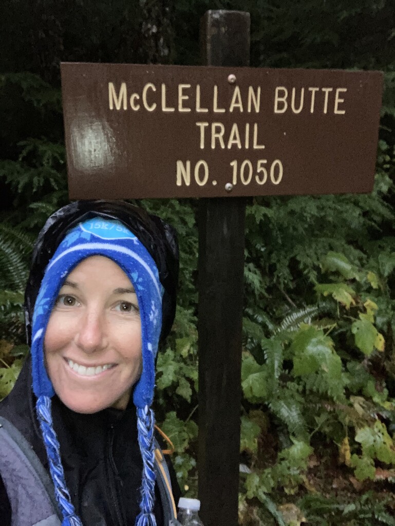
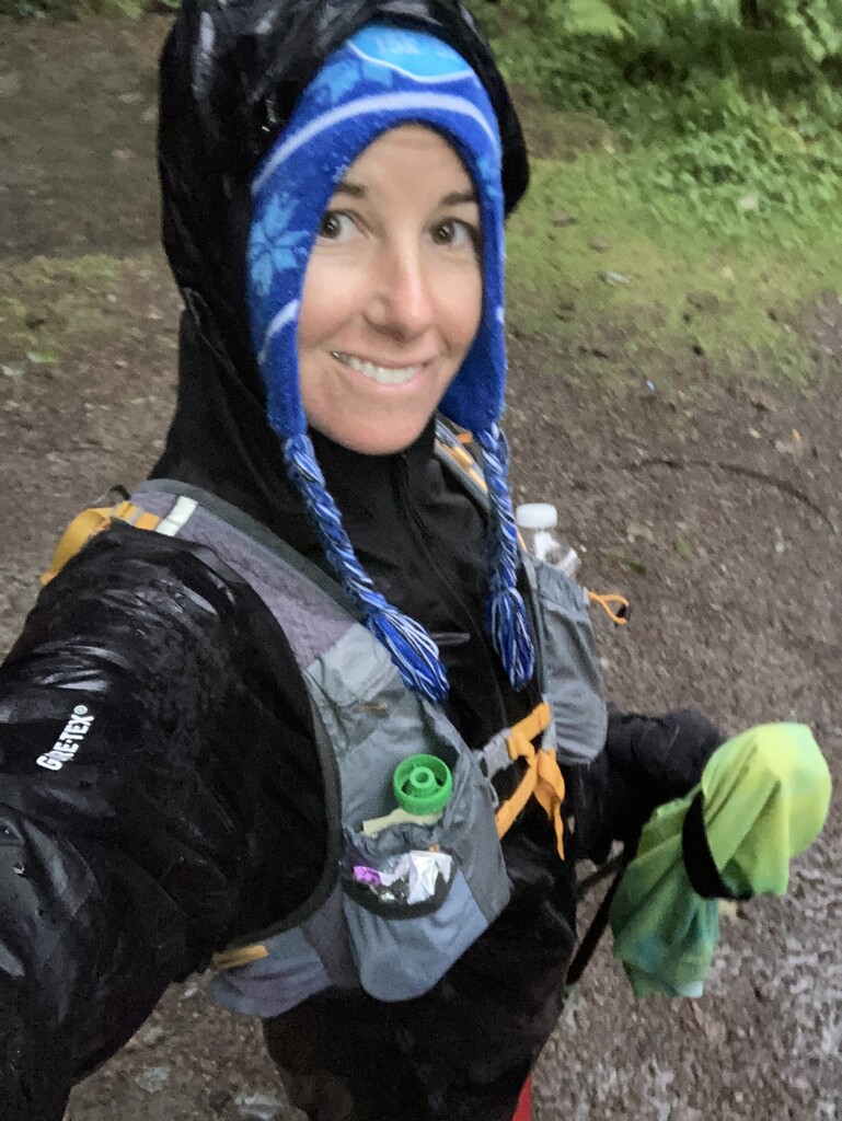
Images
Comments
Female FKT !!
Haha, posted an FKT and came back from a trip to see it was gone! Love it! Just a heads up Isabel was not on route for the second half of the first mile. She took the much faster and Palouse to the Cascades road instead of the McClellan Butte Trail, like everyone else. I know it probably doesn't matter much but she did post a time that was only 4 seconds faster than me, and I would like to think that road runs more than 4 seconds faster lol. Cheers.
Hey Anna, I think you messed up your split on the ascent. Seems you might have looked at your "moving time" instead of elapsed time, and your split was ~1:27 to the summit :P
As biscuit mentioned, your time on the ascent was actually actually closer to 1:27, you can verify here by using the segment graph which uses elapsed time.
Furthermore, your claim that Isabel was not on route from the second half of the first mile is inaccurate. Take a look at this cal topo map that compares her route to the official route downloaded directly from the FKT site, as well as the men's FKT. The top 3 men's times follow this same route.