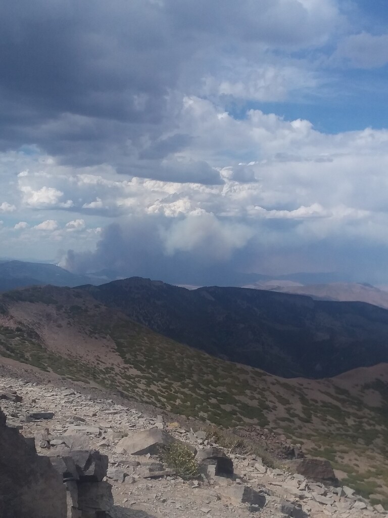
Route: Mount Rose (NV)

Submitted by Trey Fitzsimmons on Thu, 08/27/2020 - 12:10am
Location
Nevada, US
Distance
10.4 mi
Vertical Gain
2,200 ft
Description

Mount Rose is a classic Tahoe peak that sits in the Carson Range, a spur of the Sierra Nevada that curves into Nevada. Mount Rose is the 2nd highest in the Tahoe Basin, the highest in Washoe County, and the 3rd most prominent peak in the Sierra Nevada. It is well worth a visit and provides the successful climber with stunning views of Lake Tahoe, Downtown Reno, and the surrounding Tahoe mountains. The FKT begins at "Mount Rose Summit" along SR 431 where there is amble parking, restrooms and maps. The trail takes you through a deep forest and past an impressive waterfall, before climbing up the west side to the summit. You return the same way for a total of about 10 miles round trip. Timing starts and ends at the entrance to the trail, just past the informational signs.

https://www.summitpost.org/mount-rose-nevada/150662

Variation: Tahoe-Rose-Tahoe, 29 mi / 4900' gain

This variation on the classic ascent of Mt. Rose adds elements of aesthetic and epicness, as you will start on Hidden Beach, on beautiful Lake Tahoe, climb to the summit of iconic Mt. Rose, and then return to the beach. This one is open-route, so take any way you like (not necessarily the exact route included here). Just be sure to start and finish on the designated Hidden Beach, just shortly below the pedestrian tunnel (39.221394, -119.928833), and tag the old concrete summit block on top of Mt Rose. And don't forget those location-tagged start, finish, & summit selfies for verification. Note that while utilizing Incline Beach would've been the more logical choice for this route due to it's proximity to Rose, this was ruled out as it is a private beach.

GPS Track