Route: Mt Ossa

Submitted by piotrbabis on Tue, 09/01/2020 - 04:11am
Location
Tasmania, AU
Distance
38.5 km
Vertical Gain
1,600 m
Description

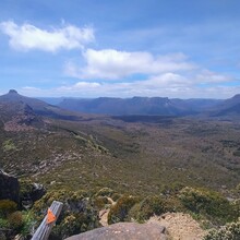
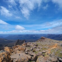
Mt Ossa (1,617m) is the highest mountain in Tasmania offering panoramic views of the area. This route is the most direct route to the summit starting from Arm River.

The route starts and finishes at Arm River carpark, just after crossing the small stream.

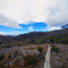
The route follows the Arm River Track for ~12km to Pelion Hut then ~4km on the Overland Track and a final ~3km up the summit. 

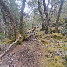
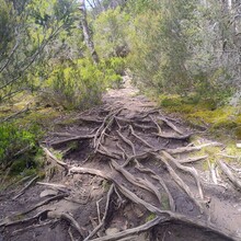
Shoe-deep mud is common, although avoidable, even in good weather. The track is generally narrow, technical and sometimes scratchy.

There are public toilets and untreated water at Pelion Hut. 

Note - the access road to Arm River carpark is 17km of gravel road with some potholes. It is achievable in a 2WD, although an AWD/4WD is recommended.

GPS Track