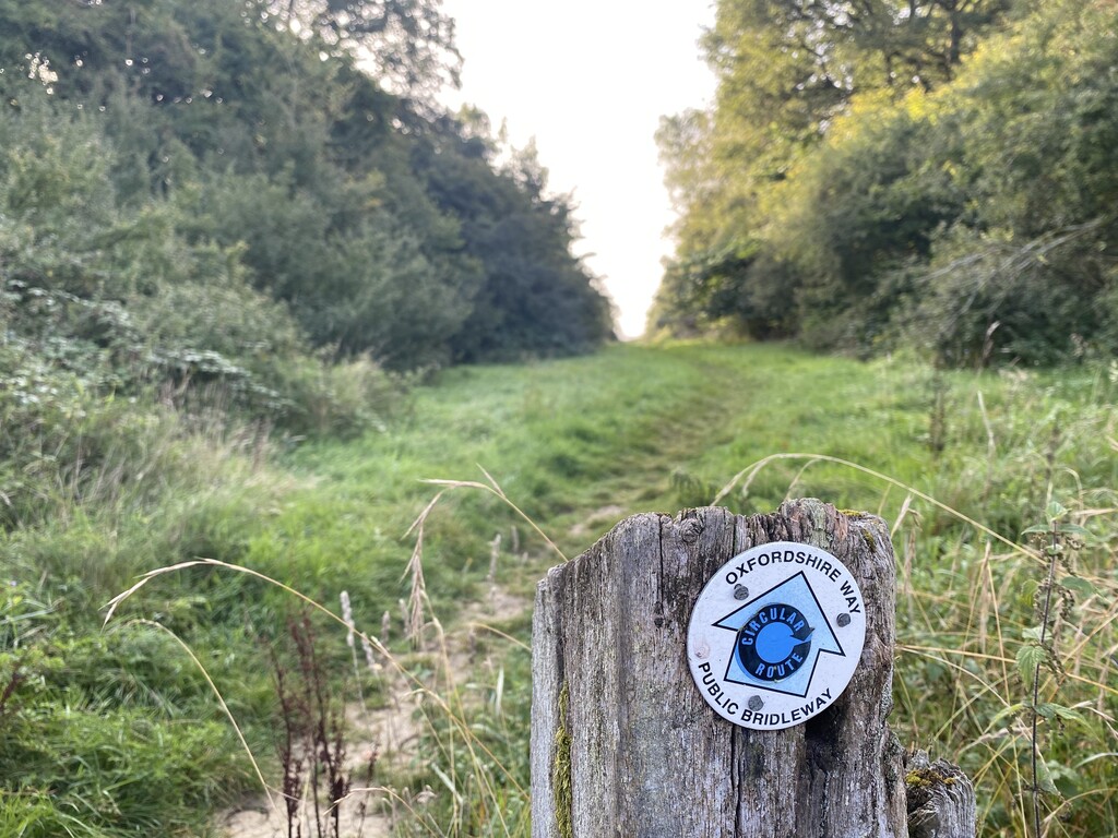
Location
United Kingdom
Distance
105.7 km
Vertical Gain
1,183 m
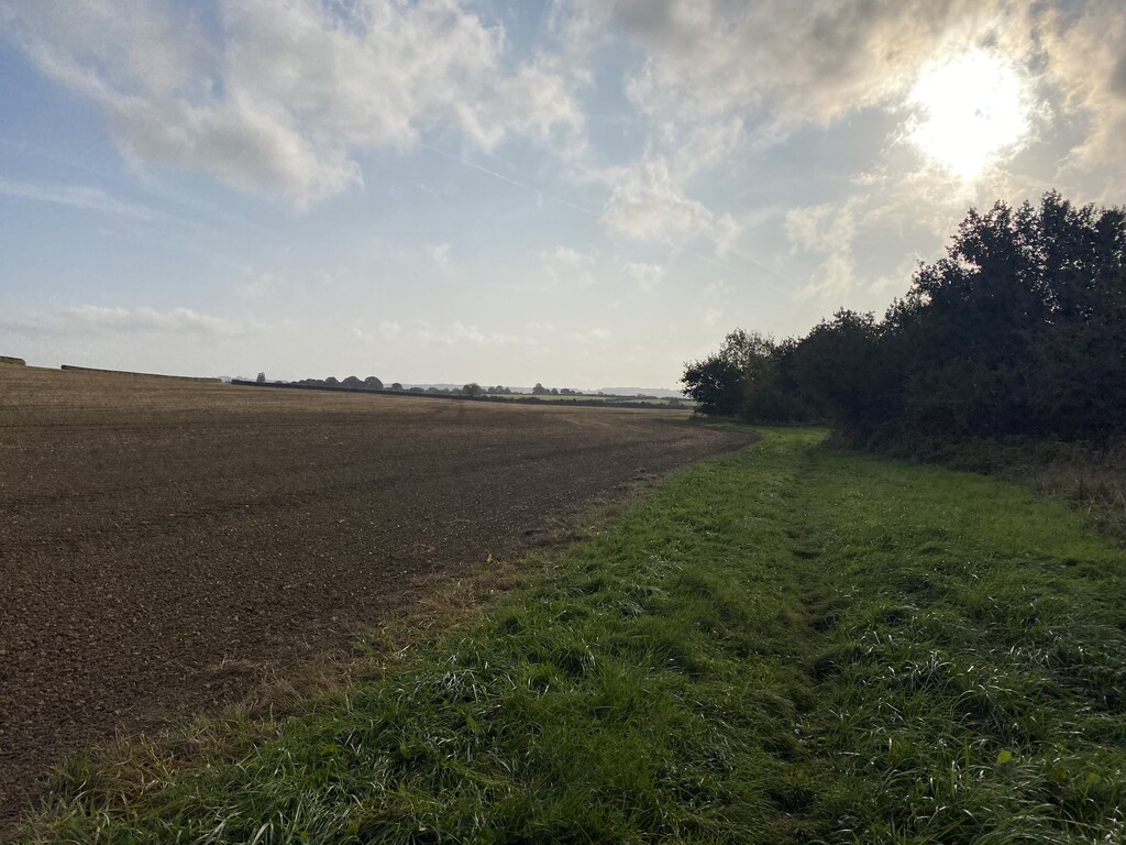
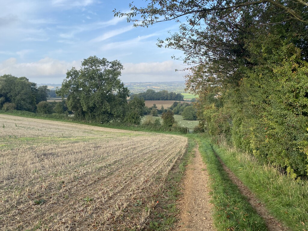
Description
GPS Track
oxfordshireway.gpx14.04 KB
FKTs
Mixed-gender team
Male
| William Borrett, Elena Golder | 14h 45m 54s |
| Kurt Austin-Archer | 14h 56m 33s |
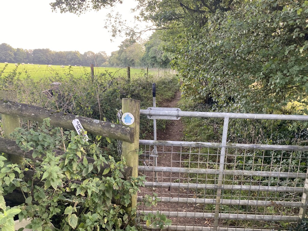
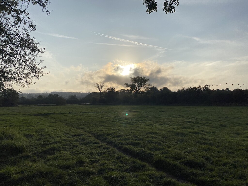
Images
Comments
Hi Pip,
Good effort!
Why have you missed off the beginning of the Oxfordshire way? What is the reason for starting in Wyck Rissington and not at the start of the Oxfordshire way in Bourton-on-the-Water? I know it is only a few kilometres, just curious as to the reasoning.
https://www.walkingenglishman.com/ldp/oxfordshireway.html
https://ldwa.org.uk/ldp/members/show_path.php?path_name=Oxfordshire+Way
Would also love to know the other 5 different ways!
Sam
Sam,
You have made a very valid point. Although most of the route was run accurately, the start of the Oxfordshire Way is indeed in Bourton-on-the-Water. As a result the FKT Team has taken the decision to remove this FKT attempt.
Regards,
Mike
FKT Team.
The GPX file has been updated to include the full distance of the route between Bourton-in-the-Water and Henley.
I am looking to attempt an FKT of this route later this year. It will be a supported effort. Excited for the challenge.