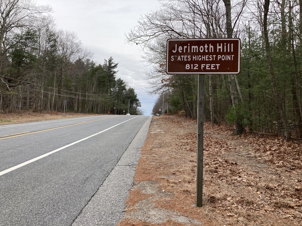
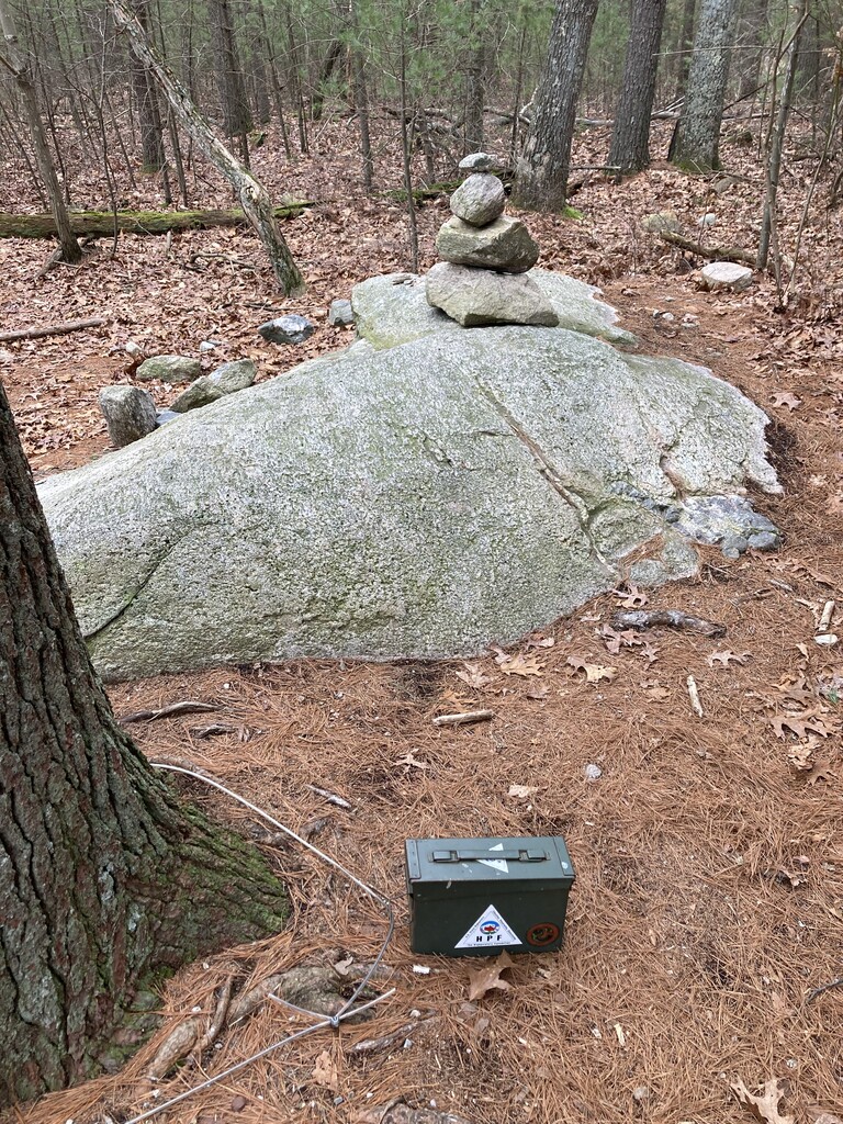
Route: Rhode Island Lowest to Highest (RI)

Submitted by Matthew Matta on Sat, 02/04/2023 - 03:36pm
Location
Rhode Island, US
Distance
22 mi
Vertical Gain
2,000 ft
Description

This route goes from the lowest point in Rhode Island (sea level) to the highest point (Jerimoth Hill, 812’). Rhode Island is the smallest of the United States, but it’s surprisingly hilly. Jerimoth Hill is in the northwest corner of the state and the Atlantic Ocean is to the south and east so to run from lowest to highest almost requires running across the state. There are several places you could start and therefore an almost unlimited number of possible routes. The shortest practical route is around 21 or 22 miles. The fastest time I could find on Strava was from Jonny Hammett who ran with 3 others in March 2013 starting in Warwick. He arrived first, in a time of roughly 3:28 (supported). Jerimoth Hill is open dawn to dusk. Make sure to take the small spur trail to the south of the road to reach the actual summit.

Summitpost

Peakbagger

GPS Track