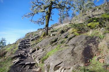
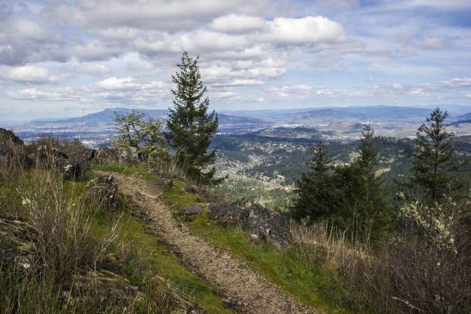
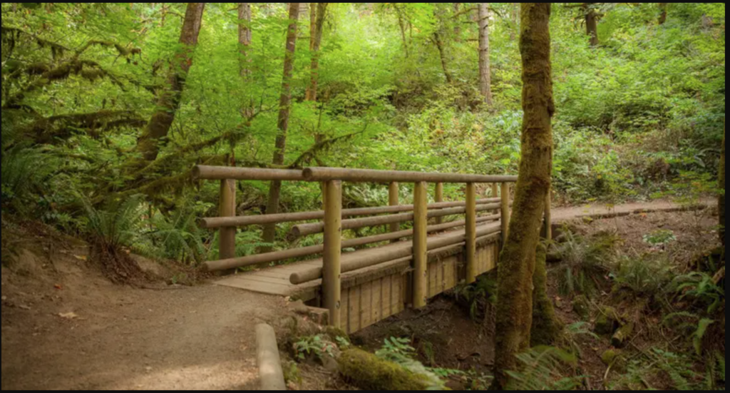
Location Oregon, US Distance 9.03 mi Vertical Gain 2,257 ft Description The Ridgeline Trail is the most popular trail running route in Eugene, Oregon. It runs along the South Eugene hills that overlook the city. This route includes a lollipop addition to the top of Spencer Butte, the highest point in Eugene. Trail Network Description: https://www.eugene-or.gov/facilities/Facility/Details/129 Trail Map: https://www.eugene-or.gov/DocumentCenter/View/3474/Ridgeline-Trail-Map?bidId= GPS Track Ridgeline_Trail_w__Spencer_Butte.gpx29.24 KB FKTs Standard route Male Unsupported Spencer Anderson 1h 16m 18s 2025-12-13 Jeff Toreson 1h 19m 54s 2024-12-23 Zack Stocke 1h 39m 55s 2024-07-16 Trevor Wichmann 2h 10m 51s 2024-06-21 Images Log in or register to post comments