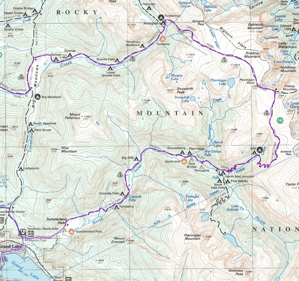
Location
Colorado,
US
Distance
25.5 mi
Vertical Gain
4,000 ft
Description
GPS Track
RMNP_CDT_loop_FKT_.gpx165.64 KB
FKTs
Male
Female
Mixed-gender team
| Andy Wacker | 3h 20m 34s | ||||
| Ian O'Brien | 4h 2m 33s | ||||
| Peter Howe | 4h 19m 21s | ||||
| Peter Jones | 5h 37m 0s | ||||
| Lawton Grinter | 6h 31m 0s |
| Amelia Boone | 5h 15m 13s |
| Allisa Linfield | 7h 57m 0s |
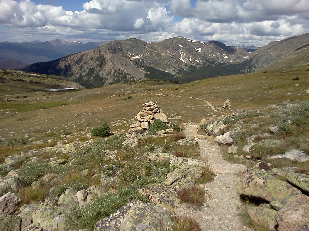
Images
This route on the old FKT site