Location
Cuzco,
PE
Distance
60 km
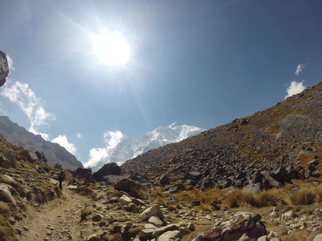
Description
GPS Track
FKTs
Male
Female
| Tyler Andrews | 6h 13m 2s |
| Abigail Cosenza | 8h 47m 24s |
| Mercedes Nieto Lajo | 10h 43m 33s | ||||
| Jana Palocna | 10h 50m 34s |
Female
| Sarah Hodges, Allison H Powell | 18h 53m 56s |
Images
Comments
Hello all -- new to this world but I will be attempting this FKT on August 2 (rain date August 3), starting in Soraypampa and running to the main plaza in Aguas Calientes. I will be attempting this as an unsupported FKT.
Hi Tyler! Great job on finishing the trail in one day. I’m going to Peru in December and hoping to run the same route. Wondering if you have any tips/advice? Thank you :)
Ran this route recently (couple hours short of the FKT - not close!), found the trail to be very easy to follow, and would highly recommend! Chantala – one or two tips would be to (1) Spend the night before at one of the several options at the trailhead and do a short run from Challacancha to your lodging or up to Humantay Lake to acclimate, (2) In the middle section you have an option to stay on the road (east side of river) or follow the trail (west side of river); it looks like Tyler took the road (definitely faster), I chose the trail (more scenic, no cars/animals, definitely many more short up and downs), (3) It gets hot in the second half of this run so be prepared; I found the large climb up to Llactapata at the ~marathon mark to be the toughest part of the route and would recommend making sure you've got ample water for it (either from filtering or from the many little shops where you can purchase water leading up to the climb). Enjoy!
I will be attempting this FKT on May 16 as a self support FKT from Soraypampa to Aguas Calientes.
Stay tunned!