Location
Illinois,
US
Distance
9.57 mi
Vertical Gain
67 ft
Description
GPS Track
route4163362495.gpx7.44 KB
FKTs
Male
Female
| Will Brewster, Kevin Boyle | 1h 2m 20s | ||||
| Will Brewster, Kevin Boyle | 1h 3m 58s |
| Suzy Lurie | 1h 36m 34s |
Male
Female
| Will Brewster, Kevin Boyle | 2h 5m 7s | ||||
| Trevor Wilson | 2h 12m 19s | ||||
| Will Brewster, Kevin Boyle | 2h 17m 54s | ||||
| Trevor Wilson | 2h 22m 49s | ||||
| Matthew De Witt | 2h 36m 46s |
| Suzy Lurie | 3h 28m 40s |
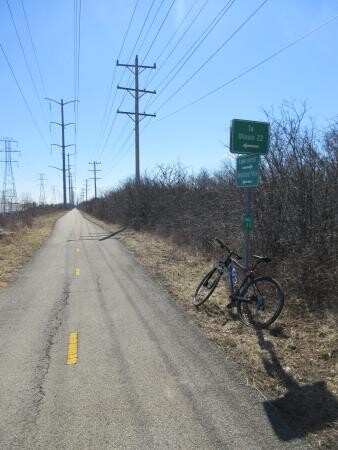
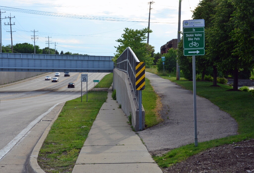
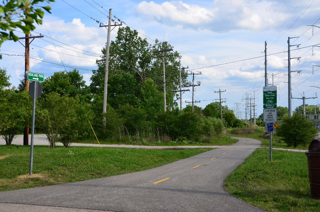
Images
Comments
Going for the unsupported female FKT tmr! Woohoo!
Back again for the out and back unsupported female FKT 🙌