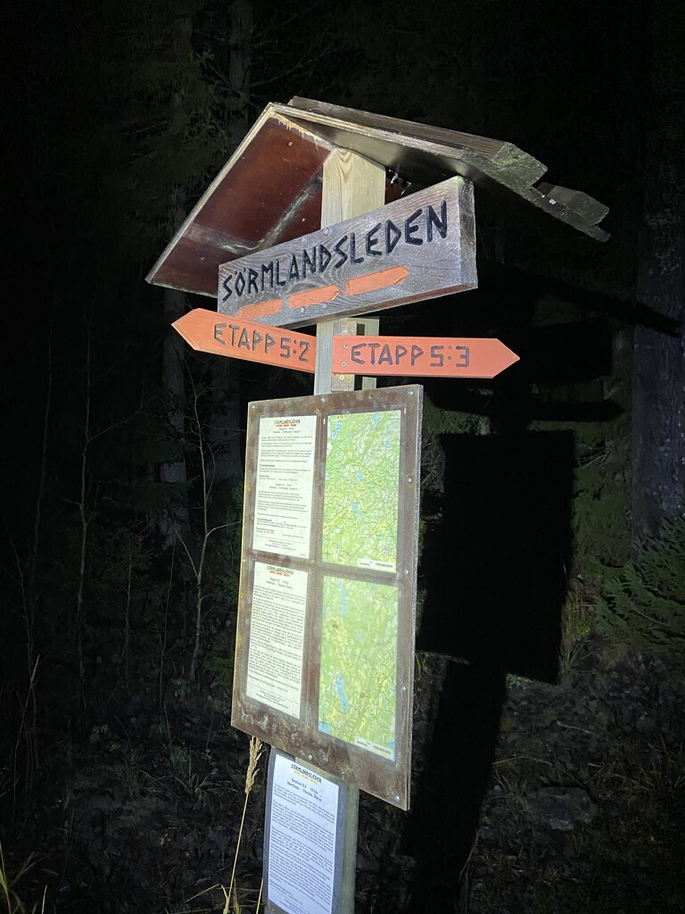
Location
Sweden
Distance
94.5 km
Vertical Gain
1,758 m
Description
GPS Track
Nattåget2020_utfall.gpx7.17 MB
FKTs
Male
| Conny Svahn | 9h 19m 5s |
| Thibault Duval | 11h 29m 49s | ||||
| Anders Hellner, Mikael Hasselrot | 17h 24m 41s |
Images
Comments
First - Congratulations to Mikael and Anders for a great achievement on running this route S to N in late autumn. Well done guys!
Second - the official distance is 90 km, this is stated on the Sörmlandsleden website (www.sormlandsleden.se). I have run the distance twice in the opposite direction (2017 and 2018) and GPS recorded then showed 89,3 km following the route markers. Since then there has, admittedly, been minor alterations to the route by the Sörmlandsleden organisation, but I honestly belive that the alterations, at Hemfosa and Söderbyvägen, has not added several kilometers to the total distance.
Third - in Nynäshamn the official route starts/ends at Kvarnängen, at the sign saying "Sörmlandsleden börjar här" which translates to "The Sörmlandsleden route starts here". The sign is located in the intersection between the large road between Nynäshamn and Älgviken and the smaller road connecting to the parking lot at Kvarnängen. The markings from Kvarnängens IP to the Nynäsgård train station are transport markings connecting the train station to the trailhead.
Nonetheless, this does not however in any way diminish the feat of Anders and Mikael. Once again congratulations!
I agree with the above comment that the start of the trail very clearly is at Kvarnägnens IP. This is made abundantly clear by Sörmlandsleden in both documentations and in the physical environment.
I will make an attempt N to S as soon as the weather allows. I will do it unsupported.