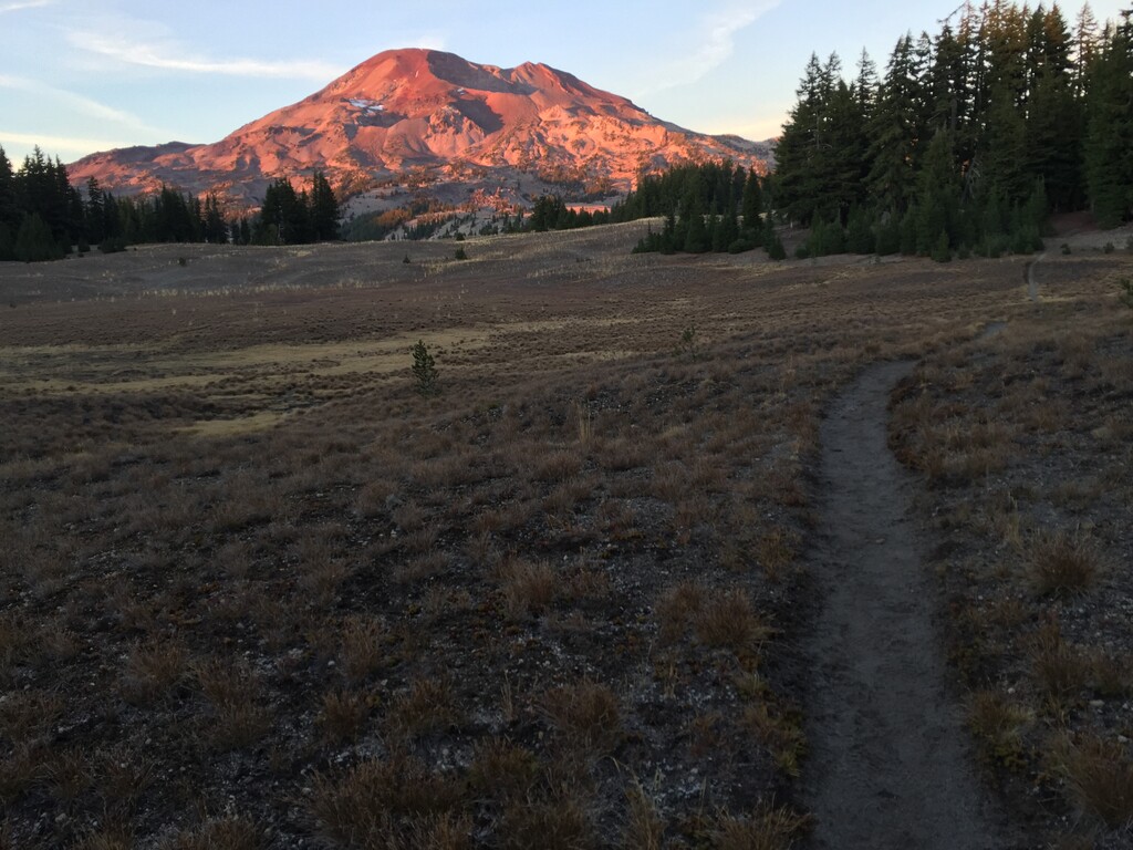
South Sister is a volcano that is part of the Cascade Range in Oregon and is the third highest peak in the state at 10,363 feet. In its vicinity are several other peaks, Middle Sister, North Sister and Broken Top which one passes by while completing the circumnavigation of South Sister. This route lies within the second largest wilderness area in Oregon and requires an approximate initial climb of about 5.5 miles while gaining 4,900 feet. The entire route is over 37 miles and a bit over 9,000 feet of vertical gain as well as descent. The route takes one over technical terrain though no climbing equipment required, nice single track trails, past many mountain lakes, through forests and too many beautiful views to list. It's a challenging and rewarding route that does not disappoint.
A route page for just the up & down of South Sister is here: https://fastestknowntime.com/route/south-sister-or
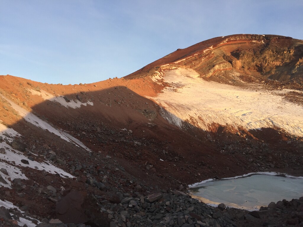
Route description: The start is South Sister Climbers Trail #36 near Devils Lake. After reaching the caldera continue towards the summit going counter clockwise along ridge, no cutting across center of caldera if water is frozen but take the path which should be visible if not snow covered, to about the half way point. No need to climb to the highest part but when you come to a dramatic view of Middle and North Sisters you can stop. This will be close to 6 miles from the start. Return as you came and head down to the glacial lake at base of Lewis Glacier you passed earlier. From there an unnamed trail can be found going east around the glacial lake and then marked with cairns heading to Green Lakes. There is a Strava segment called Lewis Glacier Toe to Dubious Crossing and this descent is about 2.3 miles. Once down follow the trail towards southern most part of the largest section of Green Lakes, there are three main bodies of water, and cross at Fall Creek. Then pick one of the trail connectors to hook up with Green Lakes Trail that follows the east side of the lakes.
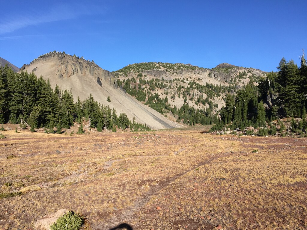
Now begins the circumnavigation of South Sister. Continue north on Green Lakes Trail towards Park Meadows junction about 4 miles away. At this junction follow the trail markers to stay north on Green Lakes trail another 5 miles to Camp Lake Trail. Continue on Camp Lake Trail to Camp Lake another 5 miles. From Camp Lake follow the unmaintained trail through the Chamber Lakes area between South and Middle Sisters until reaching the Pacific Crest Trail about 4.5 miles away. Head south 5.5 miles on the Pacific Crest Trail to Le Conte Crater Trail. Continue until Moraine Lake Trail 2.6 miles. After 1.5 miles connect to Climbers Trail #36 back to finish 1.6 miles.
editor's note 10/6/2024: please respect USFS trailhead closures. Emily Keddie's FKT is a great example to follow for proper updated trailhead -- adds approx. half a mile.