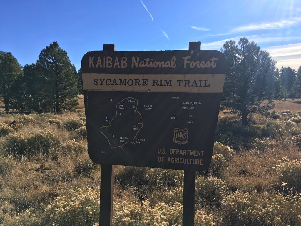
Location
Arizona,
US
Distance
11 mi
Vertical Gain
1,100 ft
Description
GPS Track
Sycamore_Rim.gpx30.88 KB
FKTs
Male
Female
Mixed-gender team
| Peyton Kohnke | 1h 35m 32s | ||||
| Matthew Matta | 1h 46m 43s |
| Selena Langner | 1h 43m 17s | ||||
| Sara Aranda | 1h 59m 12s |
| Jackson Wolf, Koren Michelle | 2h 38m 55s |
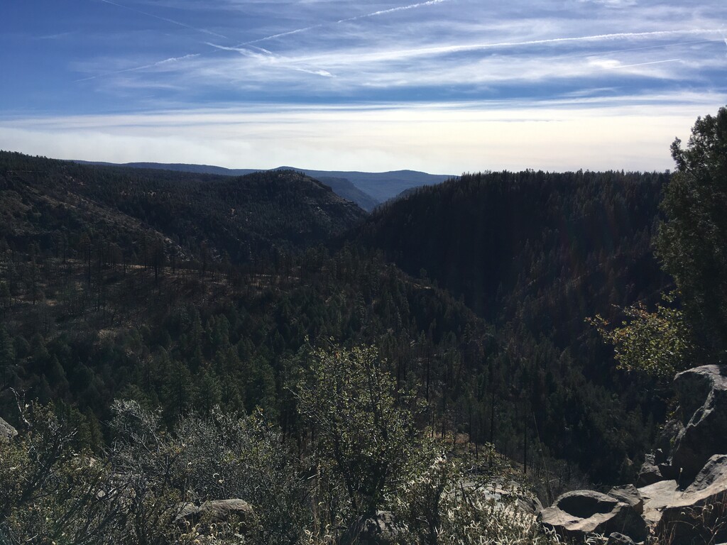
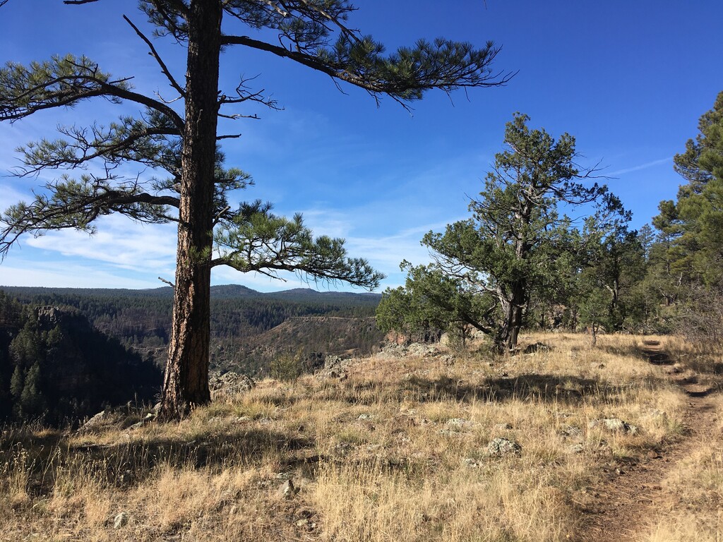
Images
Comments
Attempting the female unsupported FKT on this tomorrow -- Jan 11, 2025 (if weather permits) 🙂