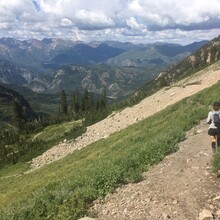
Route: Timpanogos High Route

Submitted by Matthew C Morriss on Mon, 08/22/2022 - 05:25pm
Location
Utah, US
Distance
13.86 mi
Vertical Gain
6,020 ft
Description

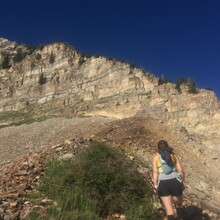
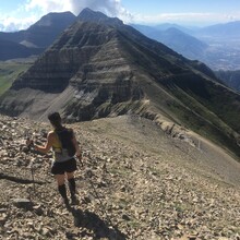
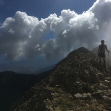
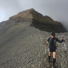
Start and ending from the Timpooneke Trailhead, this route provides a rapid ascent of the north summit of Timp and then traverses south along the entire ridgeline to south Timp, doubling back on yourself only once back to the pass over the Timpanogos glacier. A mix of trail, scrambling, steep hiking, and bushwhacking.  Five distinct 11,000' peaks in the Wasatch are also climbed along this route, with phenomenal views to the west into Utah county and to the east toward Heber City and the Uintas. 


A good challenge for anyone trying to linkup peaks and stay on ridges as long as possible.  This route also provides renewed perspective on the now closed Timpanogos Traverse.