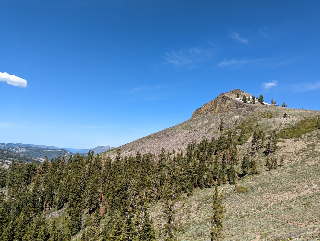
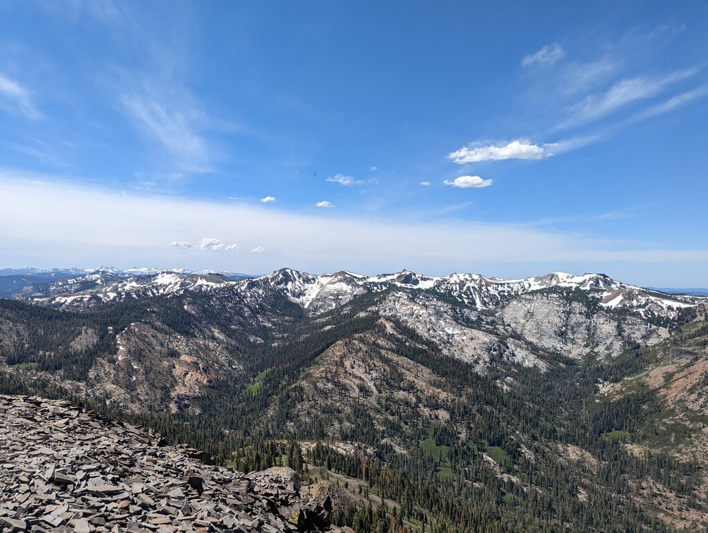
Tinker Knob is located in the Sierra Nevada Mountains in California near Lake Tahoe. The peak stands a 8,949 ft, and has the distinction of being on several peakbagger lists, including the SPS List, the Tahoe OGUL List, the Western States Climbers List. Not only that, but it makes for a fantastic destination with phenomenal views of the surrounding mountains and Lake Tahoe, and takes the ever-popular Granite Chief Trail from Olympic Valley.
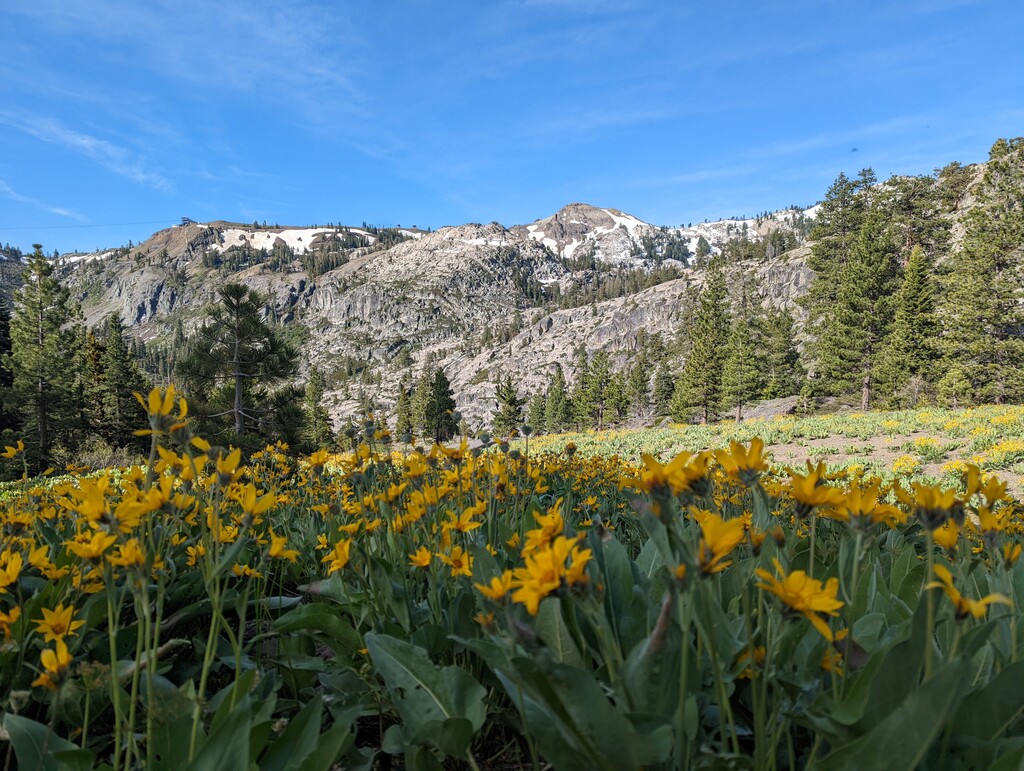
AllTrails describes this route as “one of the most delightful, rewarding day-hike destinations in the Tahoe region, this high volcanic ridge between Donner Pass and [Olynmpic] Valley stands center stage to splendid views of the northern Sierra, Lake Tahoe, the mountains and high desert of western Nevada, and miles and miles of wide-open wildflower pastures.”
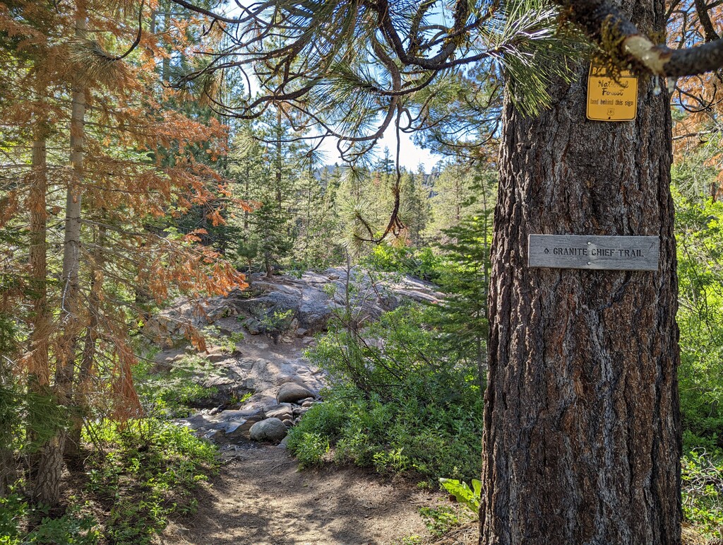
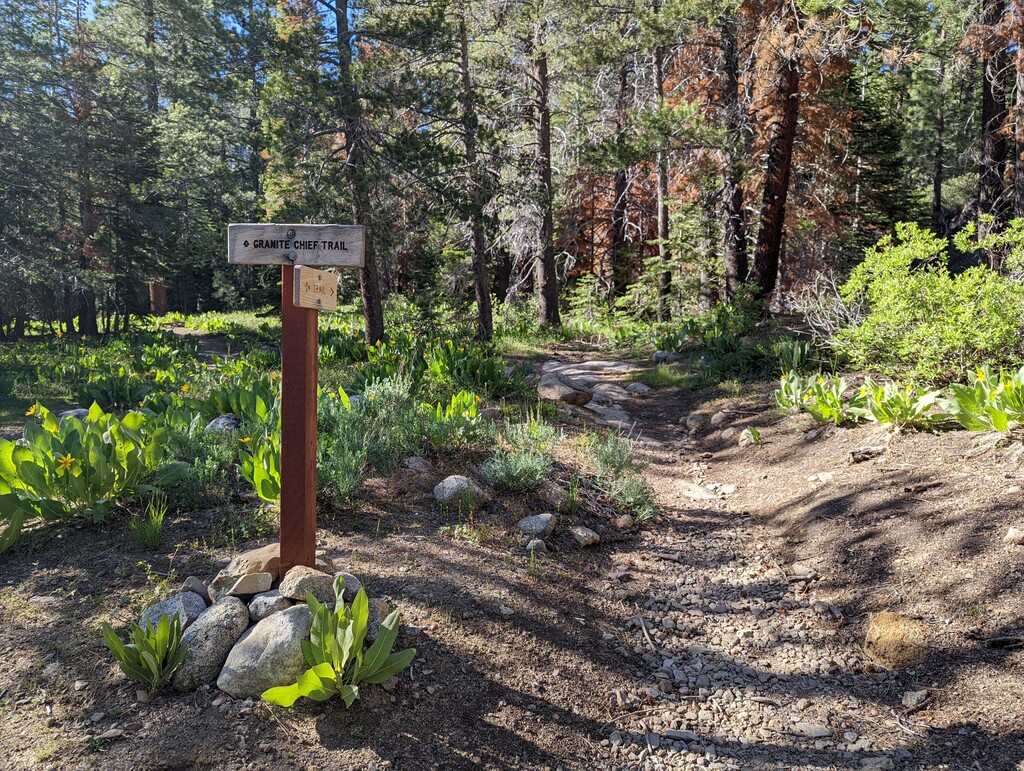
The route starts at the official trailhead for the Granite Chief Trail, which is admittedly lackluster as it exists between two buildings in a parking lot. The trail quickly leaves the hustle and bustle of the Olympic Valley and climbs almost 2,000 feet in 3.5 miles to the Pacific Crest Trail. Take a right on the PCT. You will follow the PCT down into the drainage of the North Fork of the American River, and then through rolling fields of Mule’s Ears before starting another steep climb towards the ridgeline. Continue along the ridge and the PCT, past the sign for Tinker Knob, and the take a sharp left onto the use-trail for Tinker Knob. The use-trail somewhat disappears as you get to the class 2 terrain, just keep working your way up. After enjoying the summit views, reverse your route back to the trailhead.
Please note that there are water sources along the route, but they may not be available later in the summer. You may encounter snow.

Comments
Really nice route; I ran it yesterday! I had two comments. 1) I wonder if it would make more sense to start at the trailhead next to the Olympic Village Event Center as this has a large sign for Granite Chief Trailhead and a clearer trail. I found the current start location to be a bit confusing. 2) There is a Strava segment (https://www.strava.com/segments/32085308) that is nearly identical with some fast times. I don't know what FKTs policy for adding these times to the leaderboard. Thanks for highlighting this trail!