Location
North Carolina,
US
Distance
37.7 mi
Vertical Gain
6,020 ft
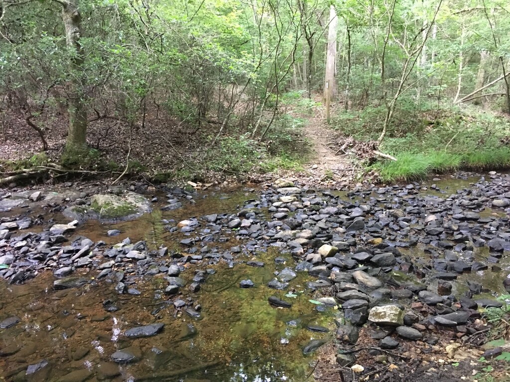
Description
GPS Track
Uwharrie Trail_0.gpx187.7 KB
FKTs
Male
Female
| Jon Ziefle | 6h 21m 51s | ||||
| Jon Ziefle | 7h 4m 57s |
| Allison H Powell | 8h 29m 47s | ||||
| Julia Carroll | 11h 47m 40s |
Male
| Chris Leblanc | 23h 23m 52s |
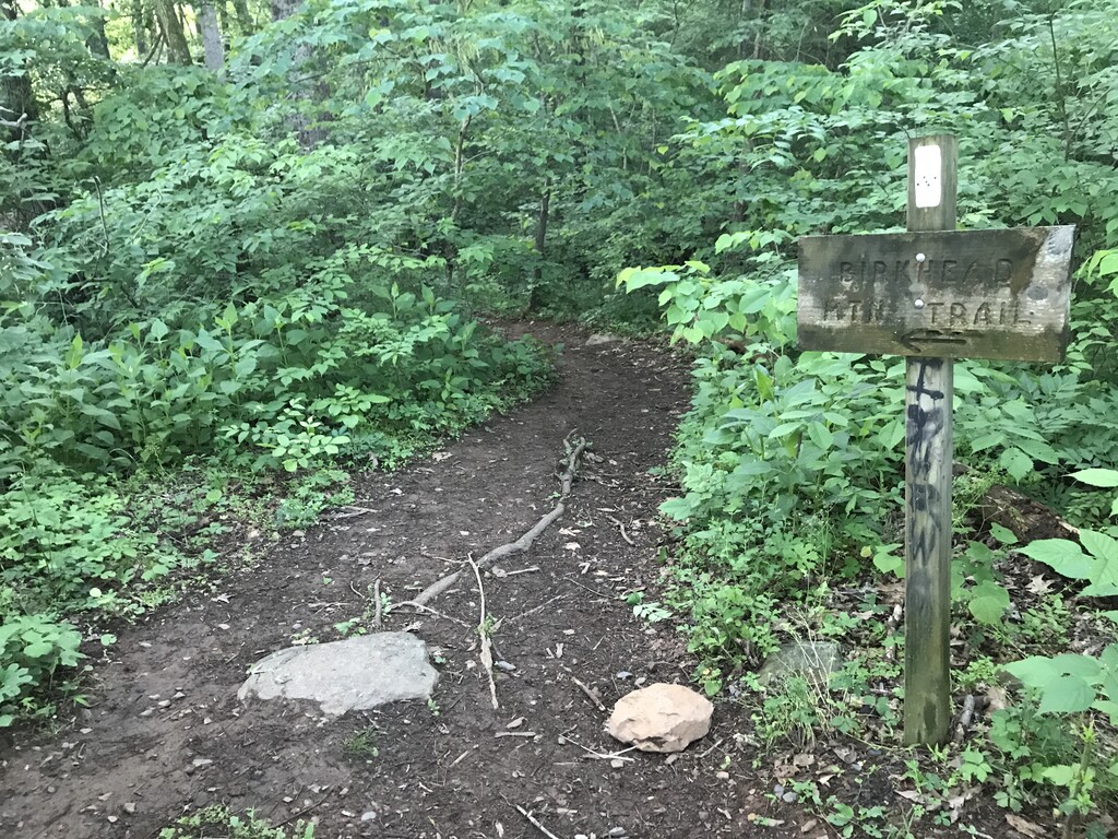
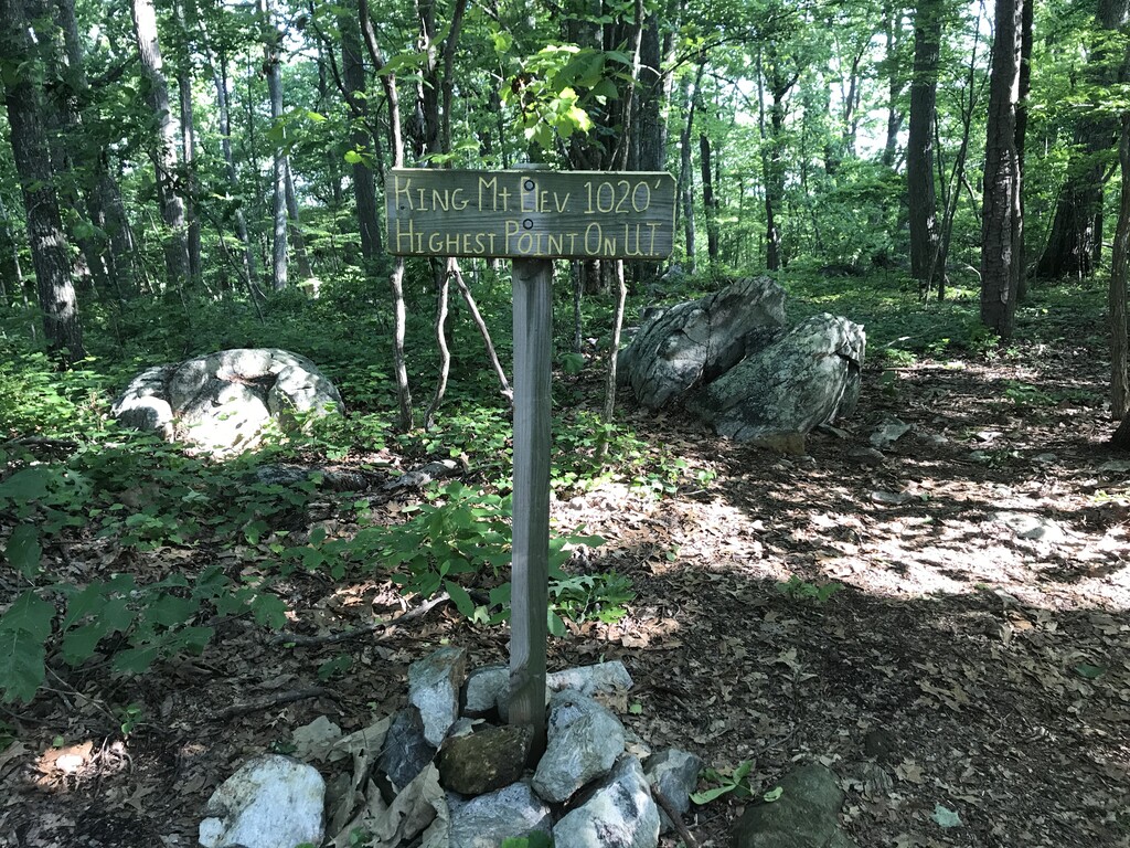
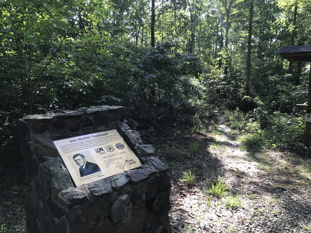
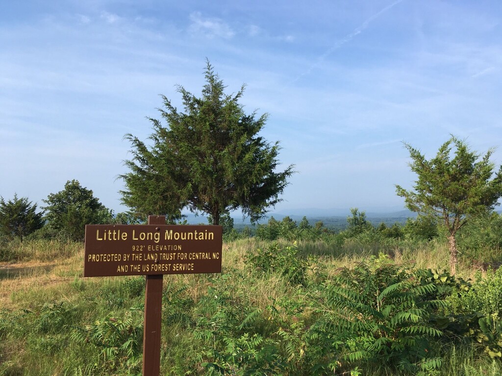
Images
Comments
Hello everyone,
I will be attempting an Unsupported FKT of the Uwharrie Trail on Thursday 9-14-2023. There is currently no women's unsupported time but I will be aiming to go under the women's supported time of 11 hours 52 minutes by Ciara Massingale. I will post photos and my strava activity/GPX if successful.
-Savage 😝
I’ll be going for an unsupported out and back FKT this weekend