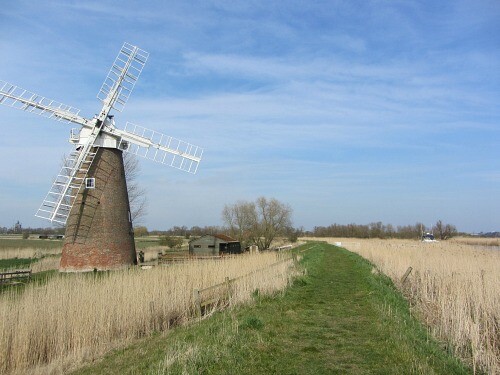
Route: Wherryman’s Way (United Kingdom)

Submitted by jamesdavis_23 on Mon, 06/08/2020 - 09:10am
Location
United Kingdom
Distance
36 mi
Vertical Gain
243 m
Description

The Wherryman’s Way is long distance riverside walk set within the Broads – Britain’s largest protected wetland. It is a 36 mile recreational route following the course of the River Yare between Norwich and Great Yarmouth. The route takes its name from the wherry – a large cargo-carrying barge whose elegant black sails were a once common sight on these waters. The Wherryman’s Way winds through open marshes, reedbeds, grazing meadows and riverside villages along the banks of the River Yare, such as Cantley, Reedham and Burney Arms, that have linking stations. Waymarkers along the route include stainless steel wherry sails, life-like figures, information panels and audio points. Some sites/ locations on the route are Whitlingham Country Park, Trowse Newton Hall, Church Marsh Nature Reserve, Coldham Hall, Rockland Broad, Langley Abbey, Hardley Marshes, Loddon, Heckingham, Nogdam End, Reedham, Berney Marshes and Breydon Water. 

Submitter: James Davis

https://en.wikipedia.org/wiki/Wherryman%27s_Way

GPS Track
Images

Comments

I like this route. There is one small correction on the route though which adds some distance... at Hardley Staithe I don't think you can cross there, you have to go around which I think adds another kilometre or so.