So far we have only the West Ridge route, as described by Sean O'Rourke. Note that the starting point is ambiguous, but Sean started at the base of the road to the radio towers off the "Aqueduct Road", near 5280':
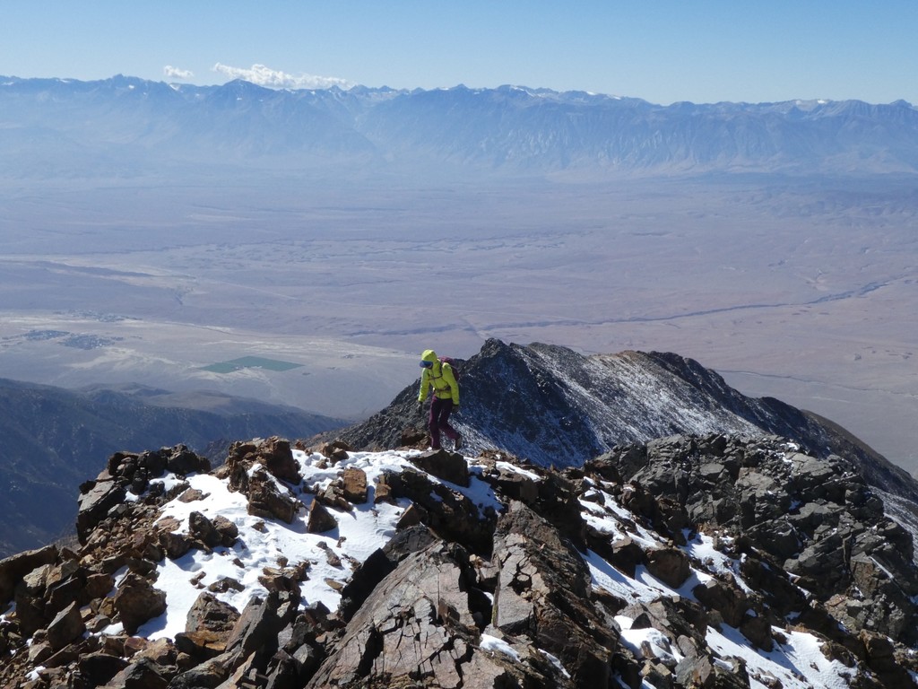
"White Mountain's west ridge rises around 10,000 feet from the Owens Valley north of Bishop to its 14,252' summit. It is a classic non-technical hike or mountain run with significant cross-country travel, best done in the fall before the first major snow. There are multiple possible starting points and routes. Many people, especially those taking two days, park somewhere on the Jeffrey Mine Canyon road (4S135), then follow a faint trail to some volunteer-maintained cabins. From the cabins, another trail leads to the upper mine and the brushy, unpleasant northern fork of the west ridge. Alternatively, loose cross-country travel leads from the cabins to the easier south fork. A second starting point is the base of the steep road to the antennas at the toe of the south fork along the aqueduct road (4S75).
Given the several route options and the somewhat rough approach roads, the most elegant starting point might be the junction of White Mountain Ranch Road and highway 6. However, I know of no time starting from that point."