Location
Oregon,
US
Distance
42.9 mi
Vertical Gain
15,663 ft
Description
GPS Track
wyeast-4-point-traverse-2.gpx257.17 KB
FKTs
Male
Female
| Nathan Jewell | 15h 34m 0s | ||||
| Rick Kneedler | 15h 56m 44s | ||||
| Steven "Aria Zoner" Thompson | 18h 30m 34s |
| Marta Fisher | 17h 37m 0s |
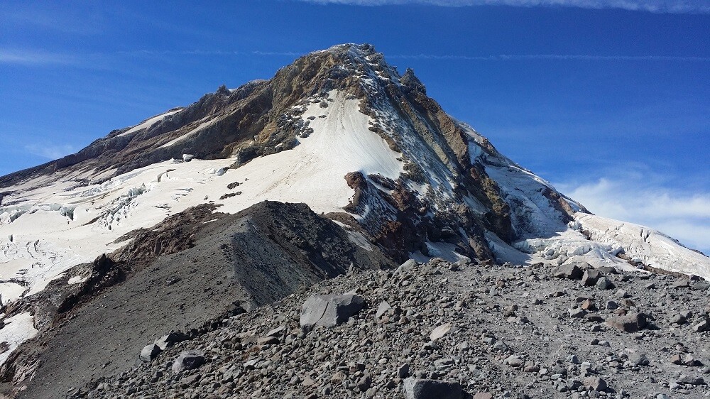
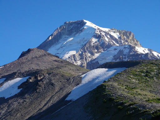
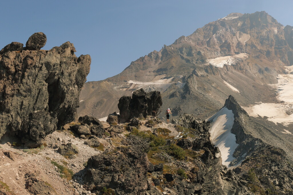
Images