Location
United Kingdom
Distance
30 km
Vertical Gain
415 m
Description
GPS Track
Epping_Forest_Challenge.gpx490.91 KB
FKTs
Male
Mixed-gender team
Female
| Thomas Beedell | 1h 58m 27s | ||||
| Sam Anderson | 2h 11m 52s | ||||
| Thomas Beedell | 2h 12m 45s | ||||
| Harold Wyber | 2h 23m 4s | ||||
| Gareth Evans | 2h 27m 24s | ||||
| Graham Law | 3h 9m 28s |
| Alison Walker, David Bone, Darren Strachan, Stephen Macintosh | 2h 38m 51s |
| Federica De Caria, Andrea Berquez | 2h 53m 22s | ||||
| Michelle Ayrton | 3h 21m 16s |
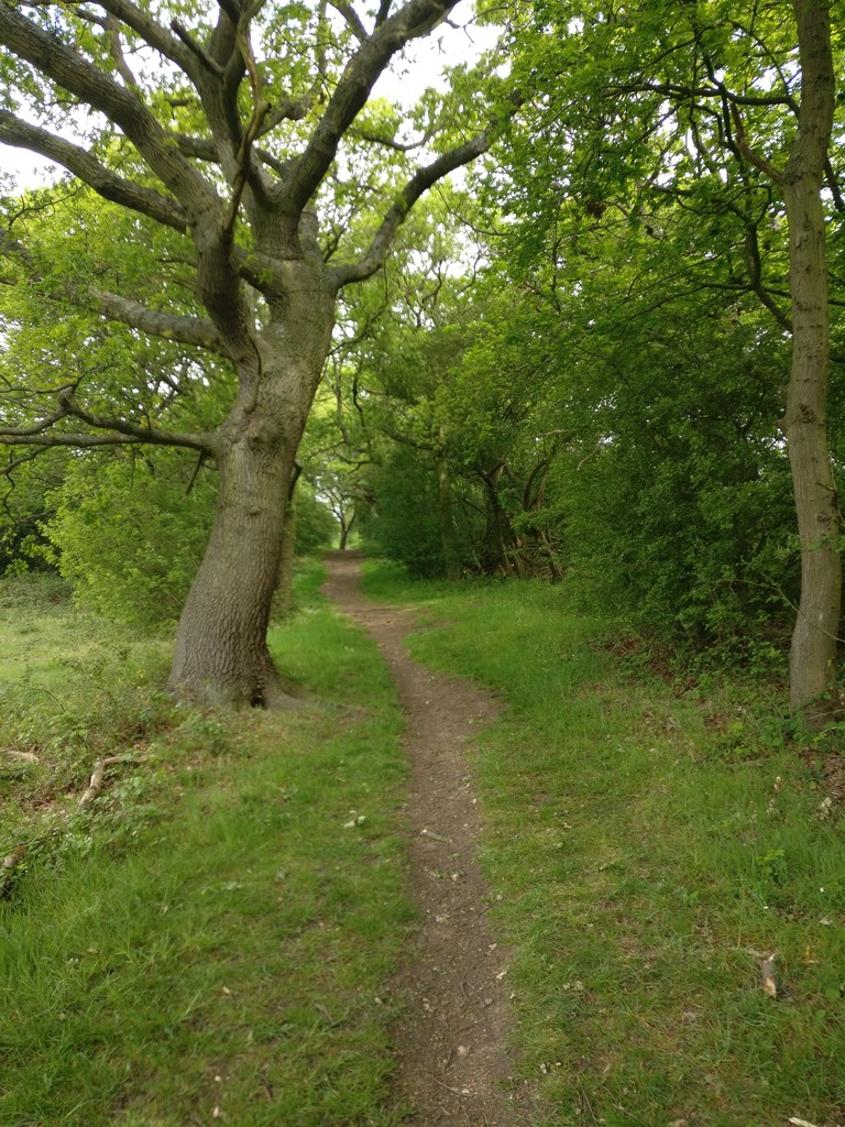
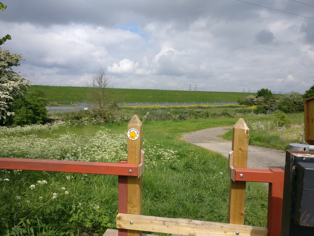
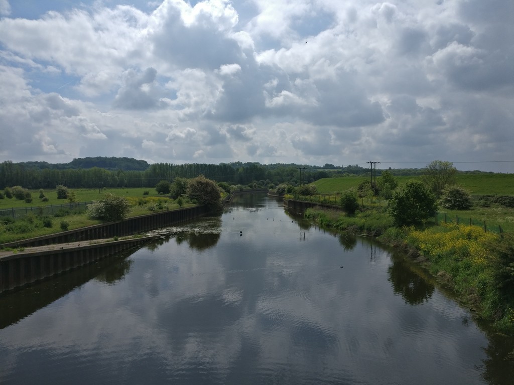
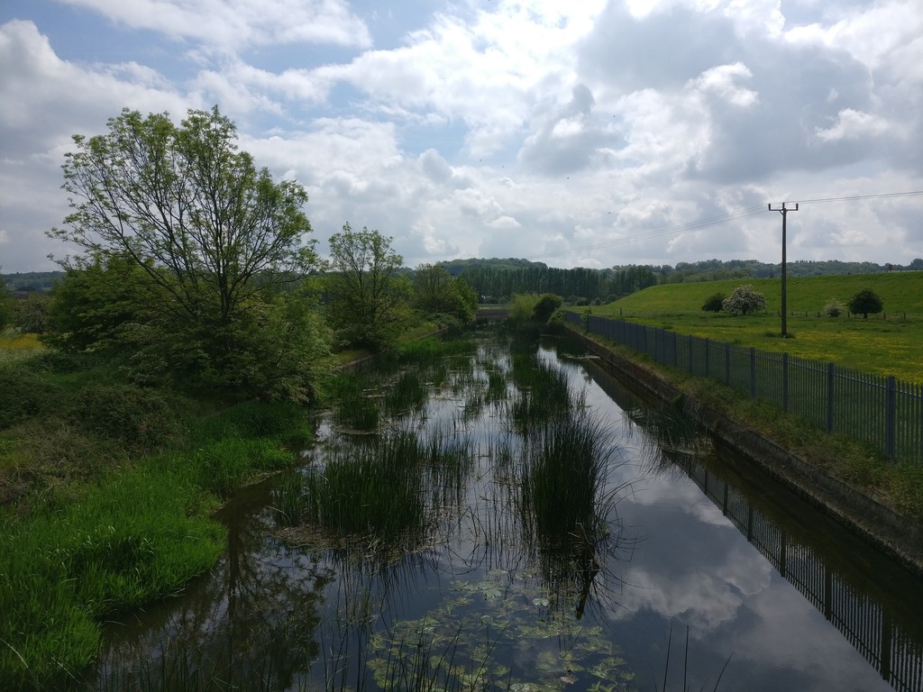
Images


Comments
Hi all,
I ran this route on Saturday (31/01/2026 Garmin: 31.90 km, 3:28:11) not with the intention of challenging the current FKT, but to recce the course and enjoy the run.
Conditions were extremely tough. Large sections of the trail were completely submerged, and much of the forest was deep, boggy mud. In a few places, I nearly lost a shoe, and on some of the steeper hills I had to pull myself up using tree branches due to the slick ground. It was one of those days where just staying upright felt like an achievement.
I also encountered a metal gate partway through the course (around the 22 km mark) with signage stating “Private land – Guarded by dogs.” It took me around five minutes to find a way around it. Given that the most recent FKT was set in 2020, I suspect this access restriction may have been added since then, and the route might need reviewing or a small re-route to avoid private land.
Despite the brutal conditions, this is a really enjoyable course, and I imagine it would be fantastic in drier weather. I’m glad I ran it, and wanted to share this information for anyone planning an attempt. I will definitely be running this route again when the weather gets better.
Thanks!
Balázs