Location
Colorado,
US
Distance
11 mi
Vertical Gain
5,500 ft
Description
GPS Track
FKTs
Male
Female
| Joseph DeMoor | 2h 26m 5s | ||||
| Jeff Cuno | 2h 42m 56s |
| Jen Day Denton | 3h 17m 19s |
Male
Female
| Joseph DeMoor | 3h 18m 43s | ||||
| Josiah Middaugh | 3h 45m 56s |
Male
| Spencer Currie | Multi-sport | 5h 10m 0s |
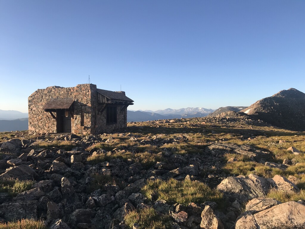
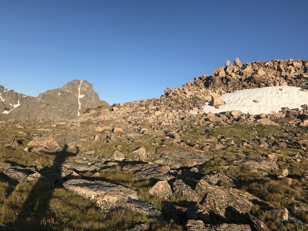
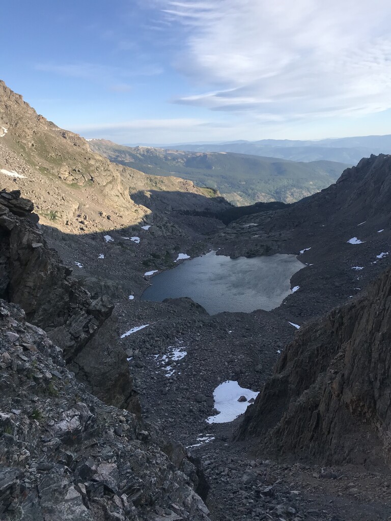
Images

Comments
Glad to see this route has made it on here. Seeing as there is no FKT at the moment, I'll be attempting to beat it tomorrow!
I claimed this fkt on 8/7 with 2:42
I was referring to the Halo loop without seeing that there was the option of the out and back. But that one got taken too.
Love this backyard peak and everything it has to offer. Been to the summit over 13times or so. Either hiking, backpacking, snowboarding, or climbing, but never ran it. Figured I’d see how fast I could do this and did it in 3:38 car to car which I was stoked on, but looking for sub 3 hours this year. Big ups to the humans who have set these fkts. Joseph Demoor, your 2:26 car to car is seriously mind blowing to me. I guess with enough training anything can be done. Keep the tempo everyone!