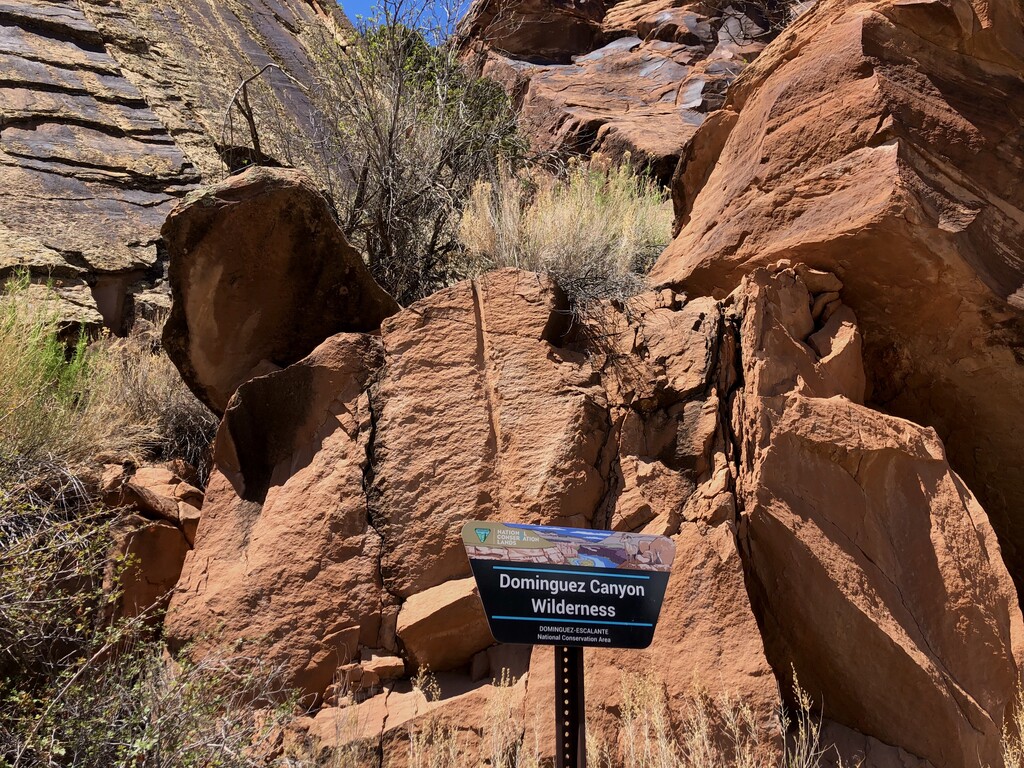
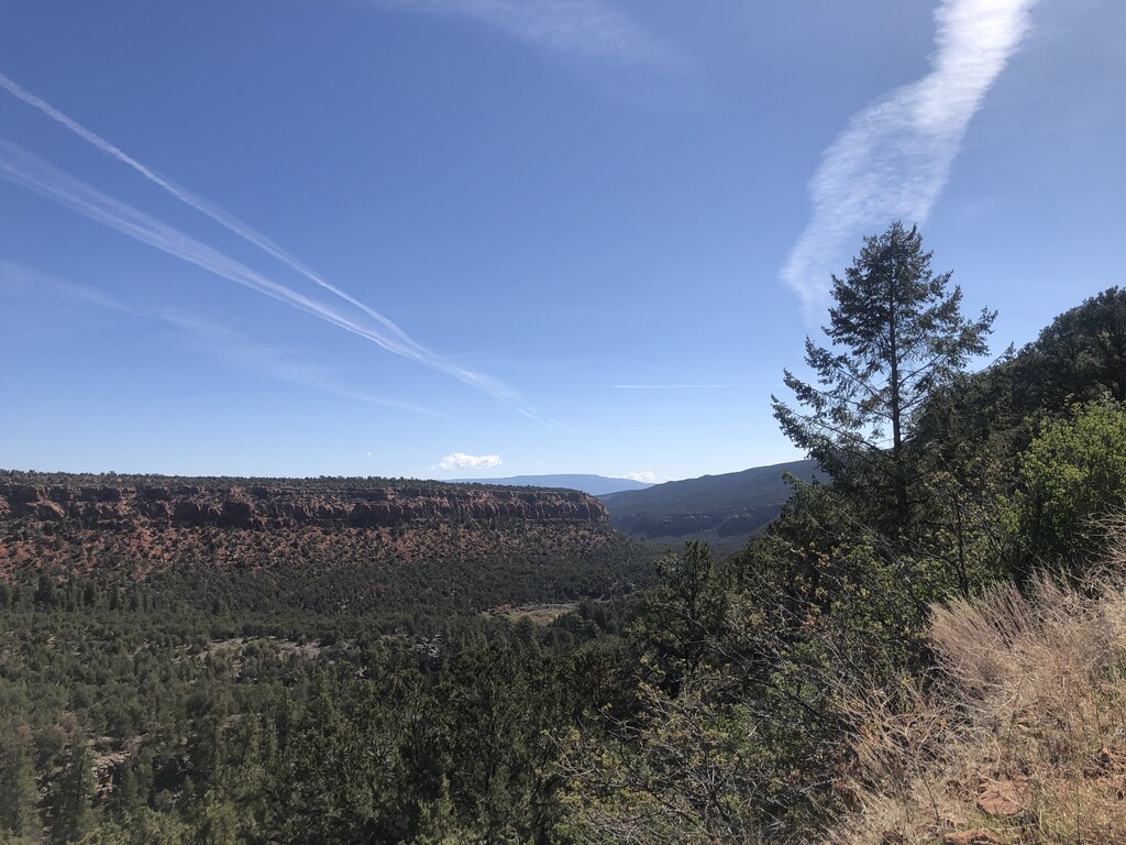
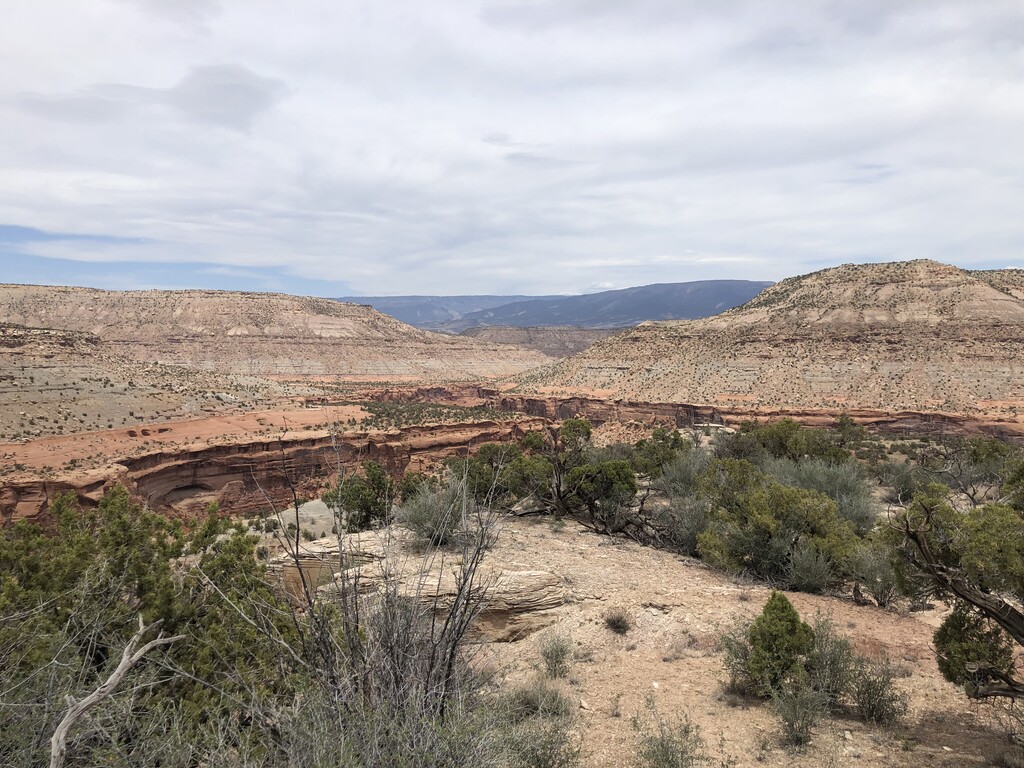
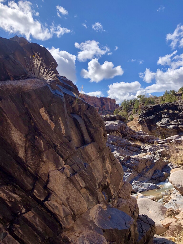
This route is fantastic for those looking for a bit of adventure during the shoulder seasons in Colorado. Located just southeast of Grand Junction the Dominguez Canyon Wilderness is a unique offering in Colorado, with similar climate and geology to nearby Moab, UT. I generally followed the route on Alltrails titled "Big Dominguez and Little Dominguez Loop", though there are sections where the trail disappears and you need to route find / choose your own adventure. Included in the route-finding portion is finding your way from the end of the plateau (Upper Bar X trial), near No Mans Mesa, into Little Dominguez Canyon - this is a little tricky, the USGS route has you going around the North side of No Mans Mesa, but from my experience it's much easier (ie less dangerous) to go around the South side of No Mans Mesa - this requires some scrambling and reading the landscape intelligently. The route is easy to follow otherwise. Primary highlight for me in the black-rock that lines both creeks, similar in hue to what you see in Black Canyon, with deep red and orange tones lining the canyon itself.
- Submitted by Greg Mauger

Comments
Headed out to give this a go tomorrow bright and early. https://maps.findmespot.com/s/0L4Q
Got out and did this loop on Saturday (04/17), I was about 20 minutes up on Giff so you'll see it up here in a couple days. Just a heads up **BE VERY CAREFUL** when navigating up or down off the mesa depending which direction you are running. I was about 10 degrees to the left of the ideal trajectory going up the mesa and ended up cliffed out having already scrambled over some low 5th class terrain and looking at about 100 feet of air below my feet. It's waaaaayyyy easier to climb up than down and climbing 5th class is difficult in Hokas period. Have fun out there.
Would you recommend doing the loop clockwise then to be climbing up at No Man’s Mesa? And how is water accessibility if you have a filter?
I would recommend clockwise like I did it. Not sure that it's really any easier to find the proper downclimb from above as the trail is pretty faint up there. Water is available pretty much only in Big Dominguez creek so up at the upper TH and all along the decent/ascent in Big Dominguez.
Heading out to give this a go on Saturday!