Location
Arizona,
US
Distance
44 mi
Vertical Gain
4,000 ft
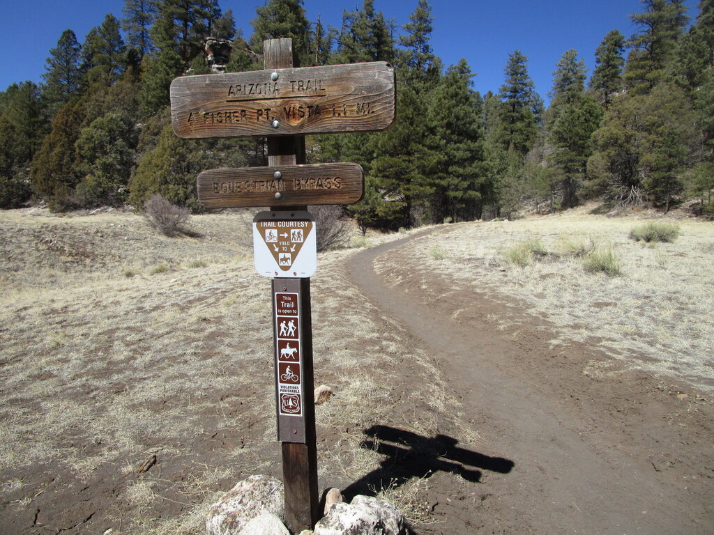
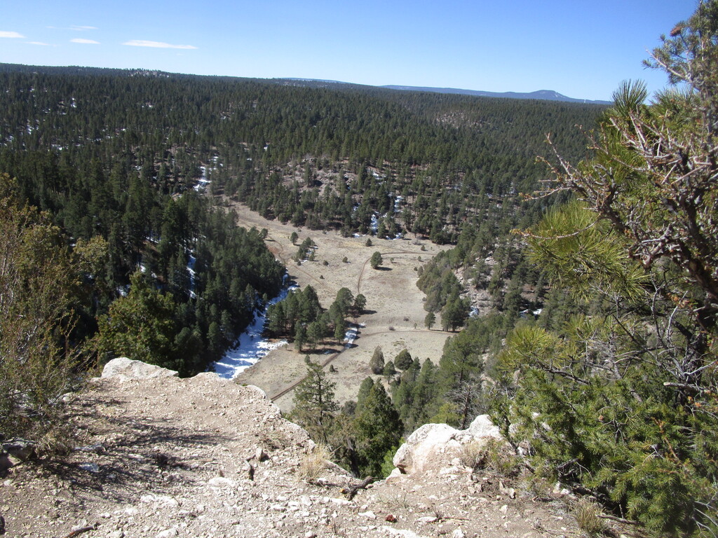
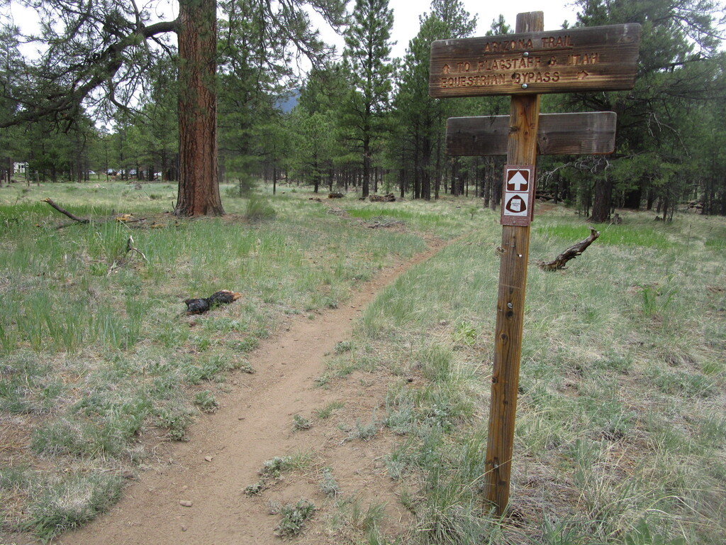
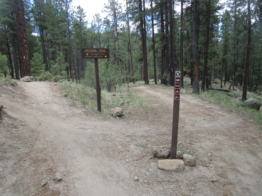
Description
GPS Track
Flagstaff AZT Loop.gpx265.97 KB
FKTs
Female
Male
| Carrie Henderson | 10h 23m 30s | ||||
| Carie Pigeon | 13h 41m 35s |
| Marcy Beard | 10h 57m 55s |
| Matt Gabrenya | 10h 34m 4s |
Images
Comments
Heading out for an AZT loop run tomorrow, hoping it's not too big a distance jump for my current training level. Should be a nice day for a trek through the pines, at least. Tracker will be on:
https://share.garmin.com/MarcyBeard
Heading out for the Flagstaff AZT loop in the morning. This’ll be my longest run yet! Excited and nervous :/
Tracking will be on.
https://us0-share.explore.garmin.com/cpig