Haslemere Circular Walk
Hampshire, Surrey, W Sussex
34 km / 21 miles
A circuit around Haslemere, with a large proportion of the route crossing National Trust woodland and heathland, including Gibbet Hill, Blackdown, Marley Common, Waggoners Wells and the Devil's Punch Bowl. The walk intersects with the Greensand Way. Another link to the Greensand Way is provided by the Four Stations Way (11� miles) from Haslemere to Godalming.
https://ldwa.org.uk/ldp/members/show_path.php?menu_type=S&path_name=Haslemere+Circular+Walk
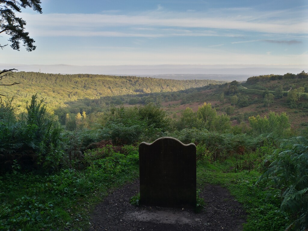
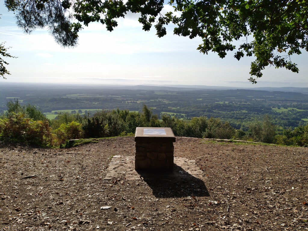
Stunning views, steep climbs and covering some of the most beautiful trails in the area.
Comments
I plan to do this route on Thursday 12th August 2021, it looks like a fabulous route!
I had a lot of fun doing this route today but the route description on the LDW link is very different to the GPX file, using a combination of both, I completed the route but managed to add on 4.5 extra miles... so no FKT for me!
Ah thats a shame! Having looked at the routes on here and the ldwa page they look almost identical? Maybe one you could try again though?
Thanks! I'm hoping to try this route again this week. As an example, the ldwa description took me through 2 fields though a wooden gate and into a woodland, upon checking the gpx I had to completely retrace my steps and go onto a road leading up to Barfold Farm, if I'd have continued the ldwa route at that point it would have brought me out level with Barfold farm. So the routes are very similar, but I think lots of corners are cut and also added on with the gpx! The ldwa is 23 miles, the gpx 21 miles.
Ah I see, that's annoying! Good luck with your next attempt! :)
Thanks! I did it today, 4hr 18mins - much easier when I know the route!
Awesome! Well done
Hi Lizzie, sorry you had problems with the route. I only had the LDWA GPX to follow when I did it and had some serious issues following it. There were several points where it takes you in an obviously wrong direction and into private property. I had to retrace steps several times to find the right paths. That file was so low fidelity and mapped so poorly to what was on the ground that I thought it was best to clean up my file and submit that as an actually navigable route. The only place it deviates significantly though (from what I remember) is where it crosses the A3 at Bramshott common. The LDWA file just skips over the motorway and I spent about 40 minutes trying to find a safe way across. I eventually decided that the only safe route was to parallel and go under the underpass and rejoin the route from the other side. I felt that it was best to put a safe route up on this site rather than encourage a dangerous crossing of a major highway. I hope this was the right call and that you had fun (safely) doing this one. I am going to come back and give it another try. Best, Nick.
Hi Nick, I commented on this FKT page but thought I'd reply directly to this comment in case you didn't see the other. I'm having issues with the GPX file you posted on this FKT page. Each time I try to put it onto my Strava, Garmin or OS Maps it says there is something wrong with the file. I've also tried putting it into my GPX editor/compressor and it says the same. Any help you can offer would be very appreciated. Thank you.
Really sorry Helen, i didnt see this in time or get a notification. I hope you found your way OK. I just downloaded this file and opened it fine in my software (ADZE) which I used to fix all the wrong turns (there were many that day). My unedited file is here on strava: https://www.strava.com/activities/4047815976 and this seems to load in Garmin Connect, just watch our for the mistakes and backtracking. I would love to go back and redo this route soon without all the time wasted route finding and if I do I will post it on strava and a link here to a hopefully cleaner gpx. All the best and great running.
Hello, I would like to attempt this FKT (preferably at the weekend!) as I previously enjoyed it. However, the GPX file on this page won't work for me in OS Maps or Garmin. It says there is a problem with the file. Has anyone got another file so I can do it please? Thank you.
I plan on giving this route a go this coming Saturday (16 December 2023). Looks gorgeous!!