This route is an attempt to showcase the best of Ann Arbor trails in one loop(ish). I hope this route catches on and I think it would be so great to see some fast people in the area take a crack at this. I had a couple main goals with this route:
1. Hit as much trail as possible. This route is about 14 miles of trail and 2.5ish miles of pavement (which I don't think is too bad for a loop in a small city). This route also does a lot of perimeters of parks, so you see the different parts of each park.
2. Go through as many different parks as possible. I got to make a loop through all the major trail systems in Ann Arbor, and I tried to balance going on the "classic" trails, while also showing off some lesser run areas (like Cedar Bend Park). I did my best to make the trail choices as obvious as possible, but there are some turns that are a bit difficult. A big tenant of this route is "when in doubt go left".
3. Make this route fun for local runners and people here for a day or two. I think this is really could be a classic route for trail runners in the AA area. It's a great option to do a long run if you don't want to drive to the Poto, and still has a ton of fun trails. If you're travelling into town, this route is an amazing way to see how great our local trail system is. I tired to make this route aesthetic enough that it didn't feel like you're running hitting a trail for no reason, but also has a diverse set of terrain.
Overall, I wouldn't say this route is super hard or technical, but it is a great way to run through all the fun parts of AA and stay on a ton of different trails. Whether you use it as a fun weekend run with friends or a showcase of a hard training block, I really hope you enjoy the run!
Route description:
Arboretum Section:
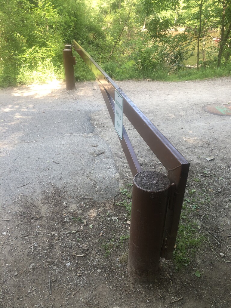
This route starts at the brown gate on the north side of the Arboretum near the hospital parking lot and helicopter pad. The route starts by heading south into the Arb. You will make the second right (head SW) and go up a set of switchbacks until you hit a gravel trail. Follow this trail until you hit the main trail in the park (Arb hill) and make a right. Run all the way to the top black gate, and make a left along the top gate. Follow this path until you reach a small house with some landscaping equipment and follow the trail on the right (head south). Follow the border of the park until you hit a brown gate and make a left. Then follow the outer edge of the Arb until you are back at the brown gate.
Cedar Bend Section:
Once you're out of the Arb, go through the parking lot and across the train tracks. There is a fairly obvious cut through to the soccer fields if you stay straight. Follow the trail next to the soccer field until you hit Fuller and make a right. Then make a left on Cedar Bend Drive. Go to the end of the road and make a slight right onto a trail that gradually climbs. There should be a few little MTB jumps along the way and you will end up at a parking lot. Go to the other edge of the basketball court and there will be a trail, follow this and make the first possible left onto a technical downhill. Make a quick right and then left and follow this trail west as far as possible (you will hit a T, you should not hit a dirt road). Make a right and go up the grass field to Cedar Bend Dr (different road, same name). Make a right on Broadway and a left on Leaird Drive and drop down to Plymouth.
Leslie Nature Area Section:
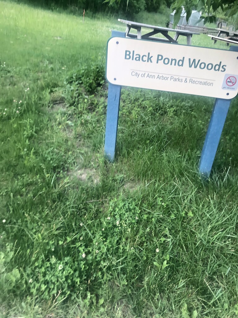
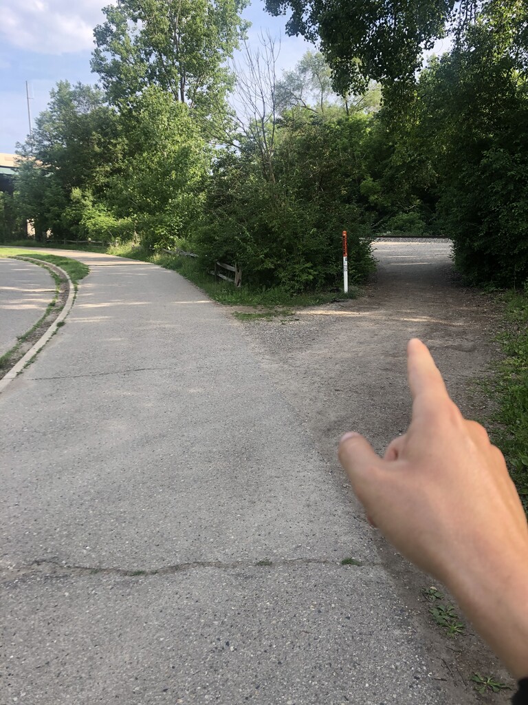
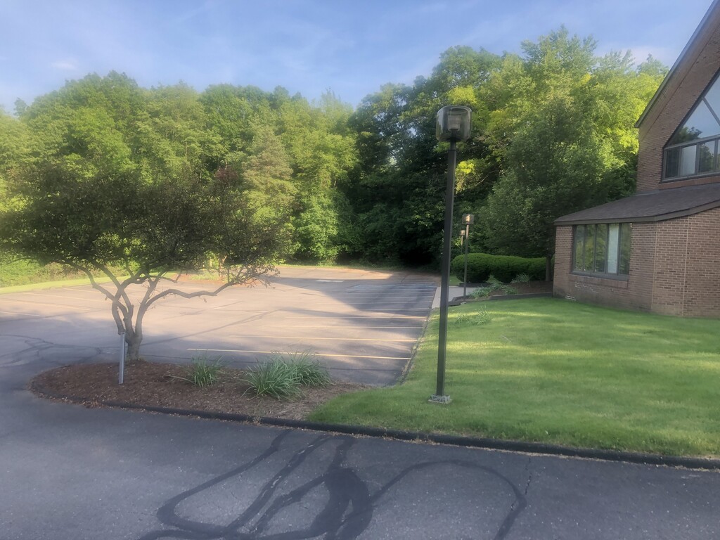
Go down Barton Drive and make a left on Traver Rd. After a quarter mile there is a sign for Leslie Nature Area and a path up to a parking lot. Go straight and you will see a sign for Black Pond Woods. Go through the garden and you will see a trail. Follow the black arrows to marker 6. At marker 6 the black markers will go left, instead go straight. From here, the navigation might get a little confusing, but when in doubt keep going left. There are a ton of squiggles and it will seem like you're running in circles, that's the fun of the route! One big checkpoint is going across Pontiac Trail to the left of the bus stop. The next checkpoint is a graffiti tunnel that goes under RT23. Eventually you'll pop out on Whitmore Lake Rd and a parking lot. Go straight across the bridge and keep right across the train tracks to another cut through (third picture).
Bird Hills Area:
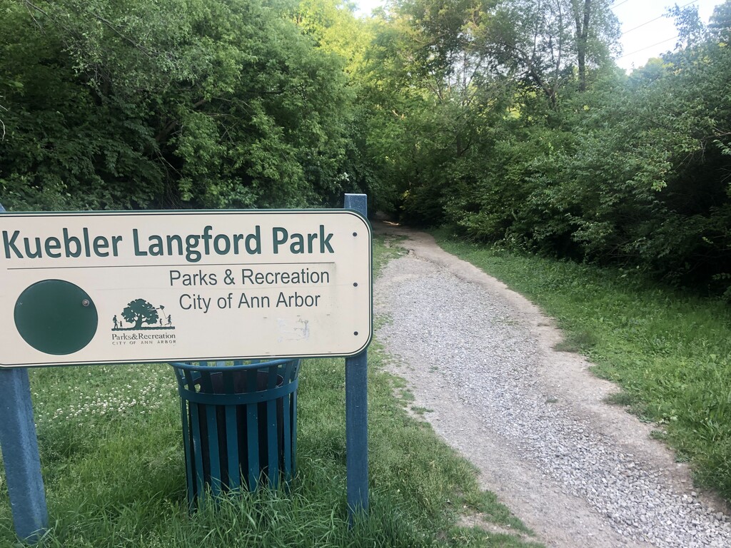
Keep right on Huron River Drive, and go into Barton Nature Area and keep left on the trails until you hit Barton Dam. Then keep left and head towards the entrance to Bird Hills on Huron River Dr. Keep left and follow the trail until you hit an intersection. Make a right down to the Bird Road entrance. Make a left and follow the outer perimeter of the park until you hit Kuebler Langford Park (fourth picture). Go around the outer perimeter of the park until you are back where you started. Then go left on the road under RT14. Make a left on Huron View Blvd and follow the dirt road until you hit a small gate. Go to the second parking lot down the hill (see last picture) and head into Bluffs Nature Area. The trails in here are a bit tough to navigate, but head down into a drainage along some big switchbacks, and then head up more switchbacks until you hit a fence (keep left is more or less the way to go, leave some comments if there's confusion and I'll try to help out). From here keep left until you are on the east side of a large field. Follow the trail until you drop down to N Main St.
Argo Section:
Head into the parking lot and make a left onto the B2B until you see a mulch/dirt trail into Bandemer Park. Follow this trail until you hit a parking lot and go across the bridge (this should look familiar!). Make a right and head onto the boardwalk and make the first right down the steps onto Argo Trail. Follow this through the canoe area until you hit a T and make a left. This is the longest stretch of pavement. Follow the B2B until you hit Island Drive and go straight. Then make a right into Island Park, and follow a dirt trail on the west side of soccer fields. Go across Fuller, across the same railroad tracks and touch the brown gate and your done!
I'm excited to see people run this and I hope it catches on, tell your friends! I ran this route once in about 3 hours, and I hope to try to run faster on this thing if no one else puts up a time. Here is the Strava link to my run: https://strava.app.link/ulpEq9UmZgb If you have any questions/modifications to the route let me know! I have reached out to a few people who know a bunch of trails here and it seems like this is the best loop possible (this is the third iteration), Thanks for reading and have fun!
Comments
Attempting unsupported fkt
Attempting unsupported fkt (2nd attempt) at 9:30
2:32:11 FKT pending verification.
Attempting to take back unsupported FKT tomorrow 12/21/22
canceled due to closed bridge