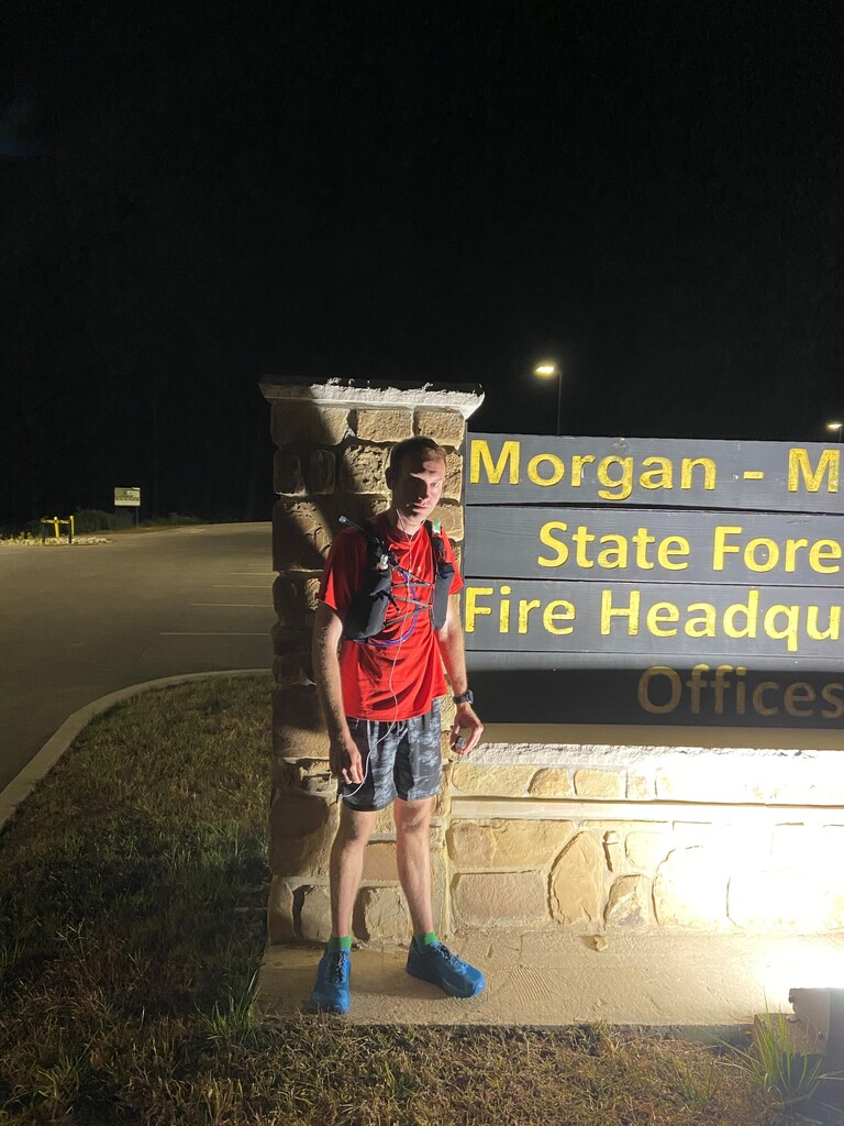
Route: Tecumseh Trail (IN)

Submitted by Derek Woods on Sat, 10/10/2020 - 02:39pm
Location
Indiana, US
Distance
43 mi
Vertical Gain
5,500 ft
Description

The following description is from the Hoosier Hikers Council website (https://www.hoosierhikerscouncil.org/tecumseh-trail/)

"If the HHC has a signature trail, the 43-mile Tecumseh Trail in Indiana is probably it.  Built by the HHC in 1998-2002, the Tecumseh Trail begins at Morgan-Monroe State Forest Headquarters, which is about 5 miles south of Martinsville.  It ends in a remote area of Brown County forest near Monroe Reservoir, just south of S.R. 46 near Crooked Creek Road.

"In terms of hills, the Tecumseh Trail is often considered a gentler version and training ground of the Knobstone Trail, a 52-mile one-way path that is further south in Indiana, near the city of Salem.  While the Tecumseh’s path does consist of many large hills, ascents are not typically as steep, long, or frequent as those of the Knobstone Trail.

"But the logistics of backpacking the Tecumseh can sometimes have more challenges.  While the Tecumseh Trail tends to offer many opportunities for backcountry (non-potable) water sources, it often has less parking or allowable camping areas than the Knobstone Trail.  This can impact the amount of miles necessary to hike in a day, and it is for this reason that all trips should be carefully planned ahead of time."

This is a beautiful trail with lots of flow in the first 30 miles and plenty of forgiving switchbacks. The last 10 miles are mostly roads and fire roads with a bit of singletrack. The views from the ridges remind you of what makes Southern Indiana so special.

2025 reroute: Due to the closure of a railroad crossing south of Hwy 45, there is an official trail reroute that adds approximately 2 miles to the Tecumseh Trail, including more than a mile on Hwy 45. FKT attempts after February 12th, 2025 (when the FKT site is adding this guidance and a new route variation) should use the official reroute. A new GPX file from HHC has been added to this page, and the HHC link above includes a map of the reroute itself. Note: To respect FKTs that were recorded on this route prior to this new variation--while recognizing that the reroute adds to the difficulty of the trail--we will allow a 30-minute cushion for FKTs on the new variation. Add 30 minutes to the specific FKT you are challenging and submit your time on the new variation if you hit that mark. This cushion is not intended as an exact comparison between the old and new variations, but as a compromise to keep some measure of competition despite the reroute.

Images

Comments

User Picture
Profile picture for user Kim_treks_

Have those that have done the fkts in the last few years followed the original trail or the new trail as far as the Indiana Hill RR Track closure goes?  

Good question, Kim. As of today, we have added a new variation and guidance about this reroute.