Location
Quebec,
CA
Distance
42.35 km
Vertical Gain
960 m
Description
GPS Track
route3507895342.gpx61.17 KB
route3507895342.kml30.87 KB
FKTs
Male
Female
| Ryan Burke | 3h 14m 47s | ||||
| Xavier Plouffe | 3h 15m 48s | ||||
| Ryan Burke | 3h 21m 57s | ||||
| Ryan Burke | 3h 24m 42s | ||||
| Martial Drainville | 3h 30m 56s | ||||
| Joffrey Laurin | 4h 7m 36s |
| Richard Turgeon | 4h 8m 35s |
| Marc Fortier | 5h 25m 20s |
| Meggy Bourassa | 3h 24m 17s | ||||
| Annie Jean | 4h 7m 13s |
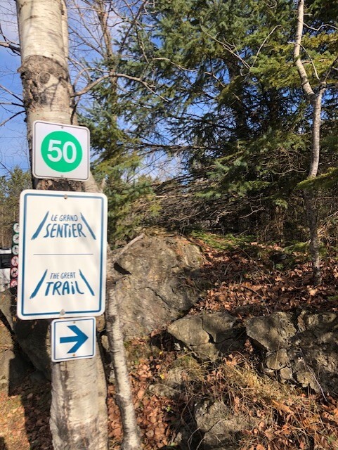
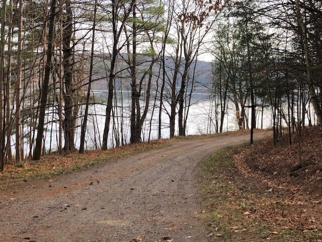
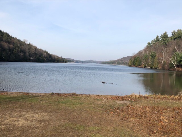
Images

Comments
will run this route on Sunday, June 20, 2021.
unsupported
My friend Caroline Therrien and I are planning to try this route on Friday October 18th 2024. I just twisted my ankle and still recovering from that so don't know how it will turn out, but we will give it a shot!
👯♀️ yess! Let’s do this 📦 ✅
Ran this 42 km route for my 43rd bday!