Location
France
Distance
25.04 mi
Vertical Gain
6,574 ft
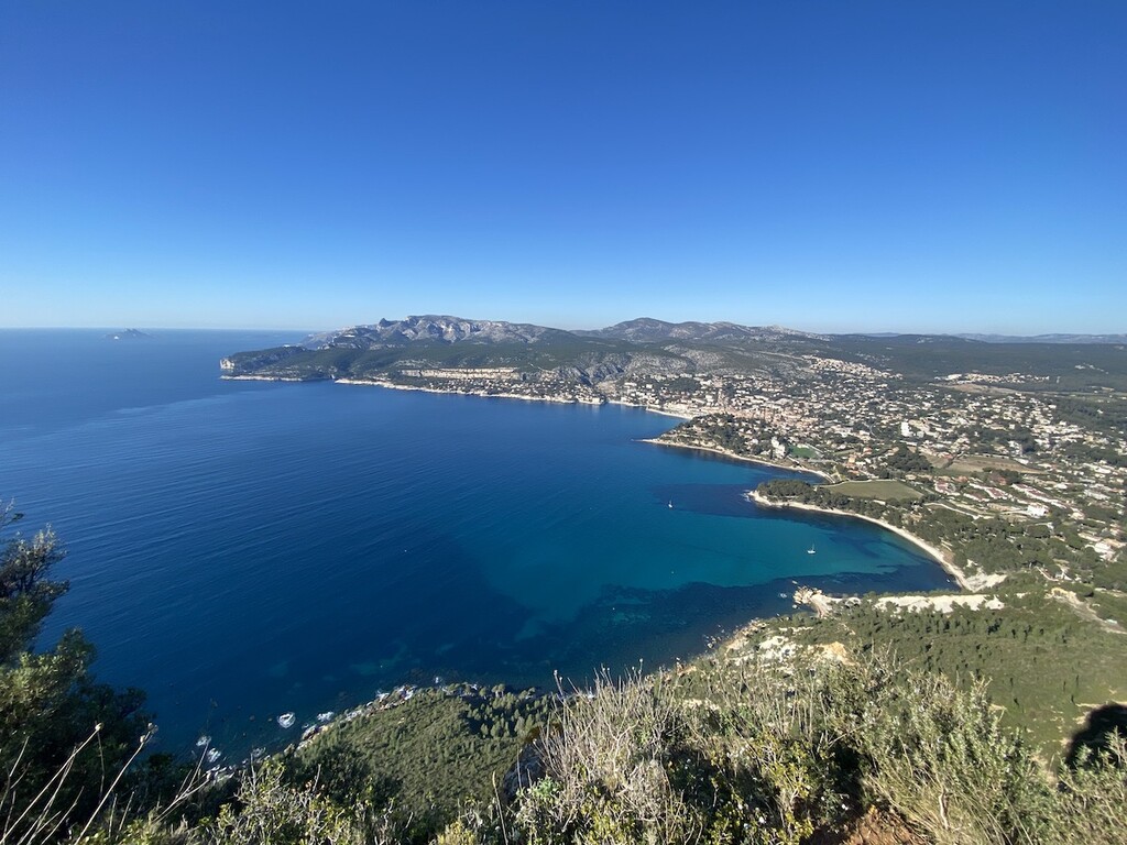
Description
GPS Track
FKTs
Male
Mixed-gender team
Female
| Julien Berto | 4h 24m 6s | ||||
| Romain Malaterre | 4h 31m 47s | ||||
| Tom Speziali | 4h 51m 6s | ||||
| Constantin Kozlow | 5h 1m 8s | ||||
| David Bensussan | 5h 1m 20s |
| Arnaud Hebert | 5h 23m 41s |
| Chloé Laisné, Nicolas Lemoine | 5h 16m 46s |
| Anouk van de Coevering, Noor van der Veen | 7h 23m 14s |
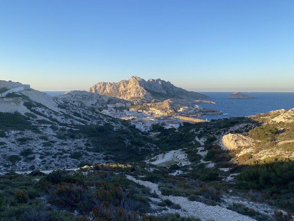
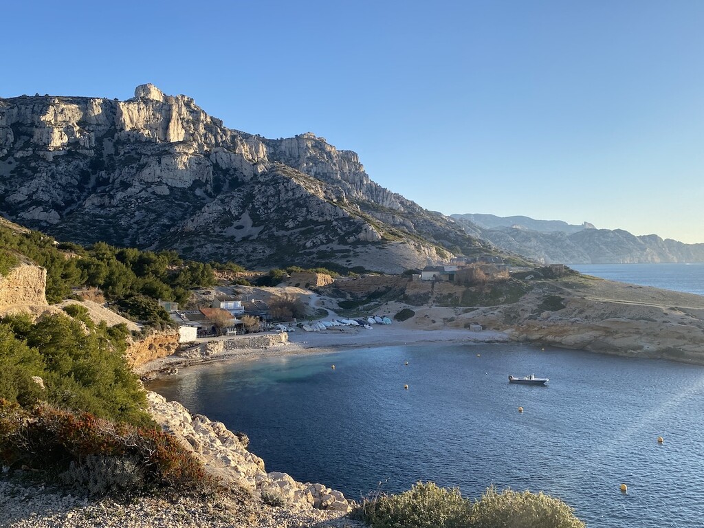
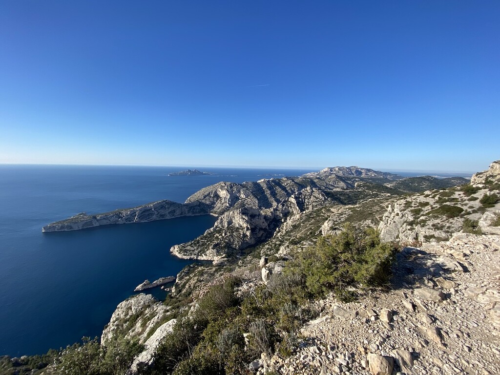
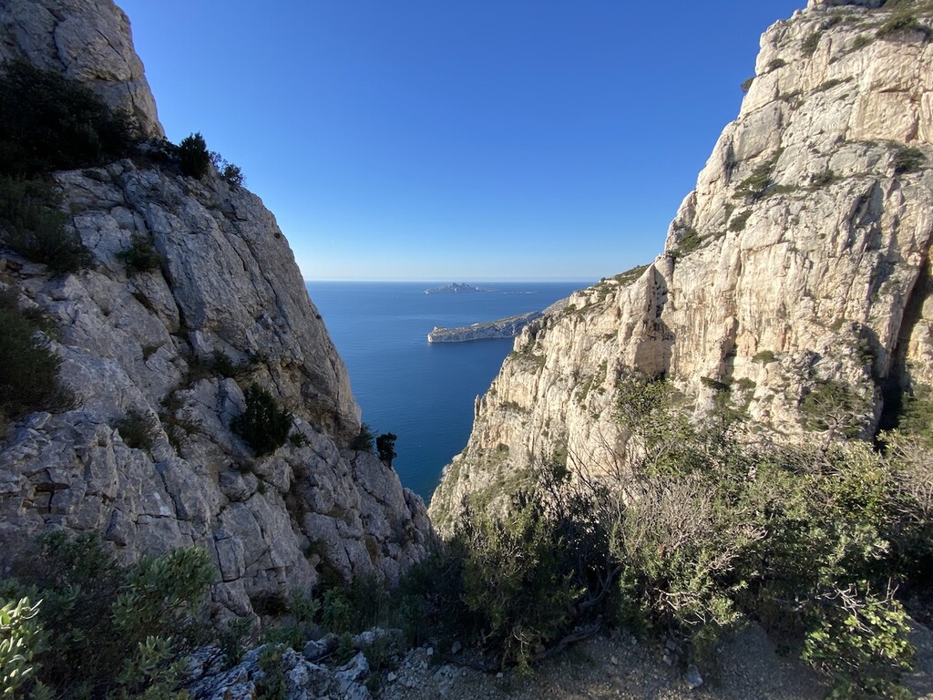
Images
Comments
FKT raté pour 3 min !
Trip dans les calanques à deux prévu depuis un bon moment. Au moment de préparer le parcours, on se rend compte qu'un FKT existe.
Même si les 40 km du FKT sont une distance un peu grande en cette saison hivernale, on se dit que l'occasion est trop belle pour ne pas tenter ce défi.
Rendez-vous est donné au départ sur ce parcours totalement inconnu (tout en transport en commun : train + bus).
On se lance dans l'aventure à une allure bien maîtrisée. Pause à la fontaine de Callelongue pour moi, car les 1h45 de trajet ont déjà vidé une flasque.
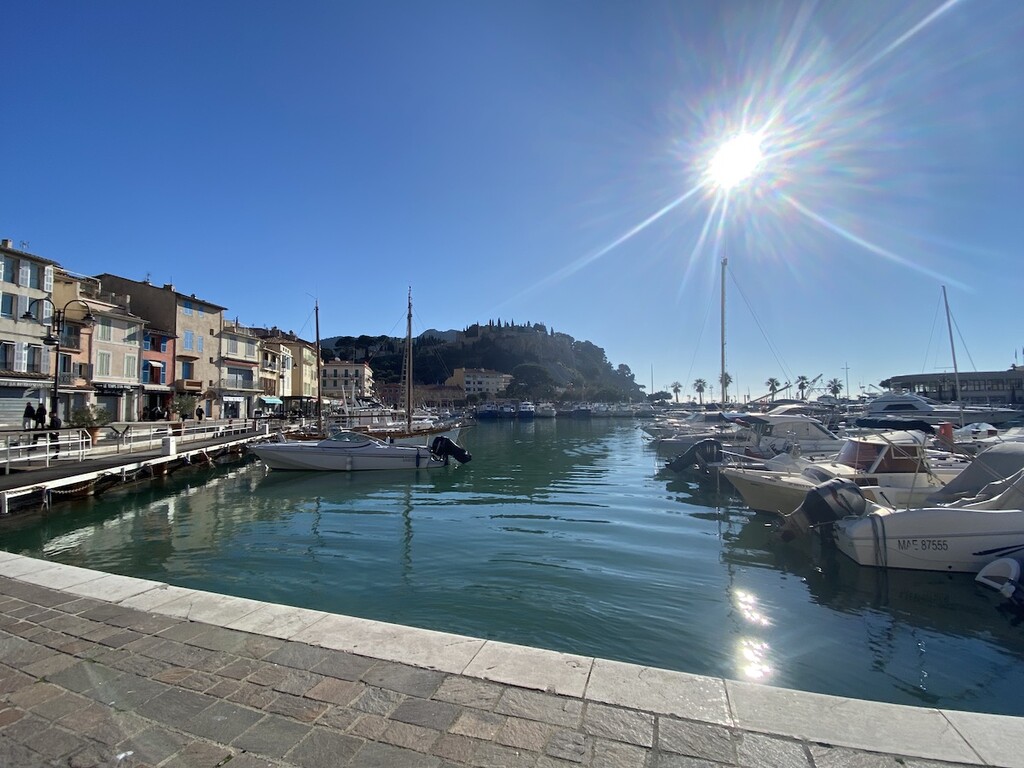
On maintient un rythme soutenu mais très agréable jusqu'à Cassis. D'ailleurs, on est en avance sur le temps final prévu. Pause sur le port de Cassis pour recharger en eau et grignoter notre ravito.
Le redémarrage est assez difficile, entre les jambes coupées par la pause et la grosse montée sur route qui se dresse devant nous. C'est le début du coup de bambou pour moi. Même si on avance toujours, l'allure a bien ralenti.
Romain, en pleine forme, est obligé de m'attendre. Je ne m'attendais clairement pas à une fin aussi casse-pattes.
Un peu de jardinage comme tout le monde apparemment sur la redescente vers Cassis. Après 5h03 d'effort, nous arrivons à Cassis.
Très beau parcours avec une fontaine libre d'accès à Cassis qui permet d'être autonome sur la gestion de l'eau.
Petit bémol sur la fin : est-ce la trace GPX qui n'est pas bonne ou le parcours officiel passe-t-il réellement par là ? Nous avons suivi scrupuleusement la trace GPX, et sur la fin, le tracé nous a fait quitter la trace jaune.
Germain : https://www.strava.com/activities/13633010563
Romain : https://www.strava.com/activities/13632995465