Mount Toby is kind of a hidden gem in Western MA as it has a great variety of terrain and trails which has become a favorite for many local trail runners. A description and trail map can be found here:
https://eco.umass.edu/facilities/our-forest-properties/mt-toby/
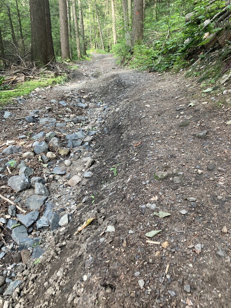
While many of the trails as listed as Roads (Tower Road, Cross Mountain Road, North Mountain Road) they are in fact more fire trails, or start as gravel and quickly become only suitable for use by an ATV or dirt bike in most cases when not being used as running trails as the attached pictures demonstrate.
In order to create a viable FKT the goal was to do a loop around the entire forest, staying off any paved roads (with the exception of two very small sections totaling less than a half mile), summiting Toby but the other key mountains and hills in the forest (Roaring Mountain, Bull Hill). There also aren't any FKTs in the area of a reasonable distance that could be covered unsupported without the necessity of any drops or locating water sources. This would allow any runner to attempt the loop and compare their times with the fastest.
This route is the longest and most challenging option for circumnavigating the area, that is also relatively easy to navigate.
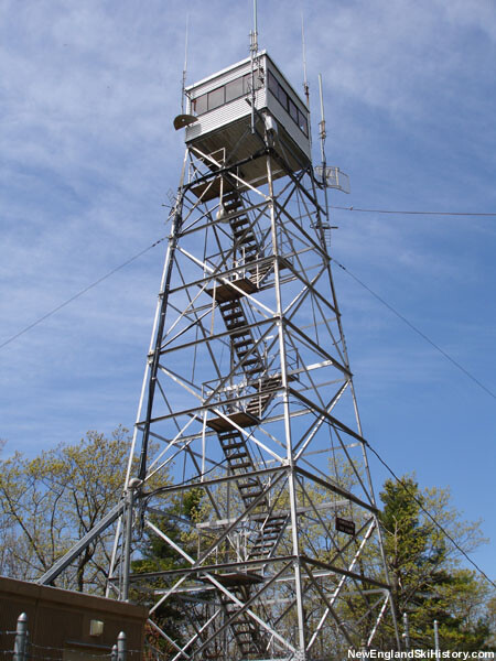
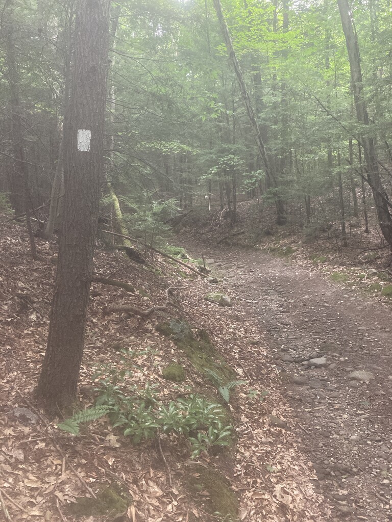
Parking on Reservation Rd, the gate where Tower Road and the Robert Frost Trail intersect represents the start and end point for the loop. Following Tower Road all the way to the Summit (approx 2.7 miles) and touching the fence around the fire tower, by turning around and heading back down Tower Road you'll also pick up the Robert Frost Trail and its easily recognizable Orange blazes. Tower Road with its elevation, loose gravel and rocks is sure to present some challenges on both the ascent and descent.
The Robert Frost Trail exits Tower Road after a short distance and heads up Roaring Mountain. Stay on the RFT all the way to where it exits Toby Reservation just after Bull Hill (just over 5 miles in total) and pick up Clark Mountain Road. Clark Mountain road is a mostly trail section that at the very end becomes a gravel Road and leads back towards pavement. However, take a right onto Olanyk Drive and pick up the trailhead on the right. This trail will bring you to Reservoir Road, another short paved section. A right onto Cross Mountain Rd will again place you on gravel that quickly devolves into more difficult uphill terrain that becomes only suitable for running or ATVs.
Sept 2025, Editor: The loop has recently been updated in two places but is still the same length and elevation, gpx was updated.
Cross Mountain Road becomes Middle Mountain Road and by taking a right onto Link Trail it will connect to North Mountain Road. A right onto Sugar Farms Trail brings you part way up the back side of Mt. Toby and the Bridal Path quickly reconnects you to the Robert Frost Trail which goes all the way back down to the start/end of the loop on Reservation Road.