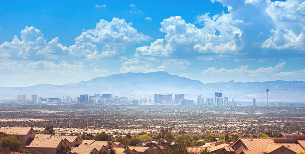
The "Nevada 11ers" is a logistical and mountaineering test piece similar to the likes of the Colorado 14ers, Washington 100 Bulgers, Wyoming 13ers, Utah 13ers, Montana 12ers, Idaho 12ers, or New Mexico 12ers. This FKT is for the ranked 11,000ft peaks in Nevada, of which there are 61 [to be ranked a peak must have at least 300' of clean prominence]. It is conceivable that these 61 peaks will at some point be done in under 7 days.
TL:DR disclaimer: This list does involve some semi-technical and remote off-trail travel. Follow 3000 vertical foot "Colorado Rule".
-
Boundary Peak
-
Wheeler Peak
-
Doso Doyabi
-
Baker Peak
-
Mount Moriah
-
Mount Jefferson
-
Pyramid Peak
-
Charleston Peak
-
North Schell Peak
-
Mount Jefferson - North Summit
-
Schell Creek Peak 3595
-
Quartzite Peak
-
Arc Dome
-
Schell Creek Peak 3587
-
South Schell Peak
-
Taft Peak
-
Mount Washington
-
Bald Mountain
-
Lincoln Peak
-
Mummy Mountain
-
Currant Mountain
-
Bunker Hill
-
Silver Creek Baldy
-
False Pyramid
-
Second Fork Peak
-
North Arc Dome
-
Ruby Dome
-
Mount Jefferson - East Peak
-
Toiyabe Dome
-
Ruby Dome - East Peak
-
White Pine Peak 11360
-
Schell Creek Peak 3460
-
Thomas Peak
-
Trail Canyon Saddle Peak
-
Hole in the Mountain Peak
-
Troy Peak
-
Mount Grant
-
Granite Peak
-
Mahogany Mountain East
-
Mount Fitzgerald
-
Duckwater Peak
-
Snow Lake Peak
-
Full House Peak
-
Black Top
-
Mount Gilbert
-
Mount Talbot
-
Schell Creek Peak 3379
-
Toiyabe Peak 11085
-
Toiyabe Dome West
-
Verdi Peak
-
Old Man Mountain
-
Toiyabe Peak 11061
-
Griffith Peak
-
King Peak
-
Snake Range Peak 11040
-
Mount Mazama
-
Toiyabe Peak 11038
-
Liberty Peak
-
Grant Range Peak 11028
-
Lee Peak
-
Humboldt Peak
Similar to Colorado, for the purposes of this FKT and in the spirit of good alpinism, we will apply a similar "3000 vertical foot" rule as originally thought up by Cave Dog for the Colorado 14ers speed records - since some peaks there can also be driven to the top of.
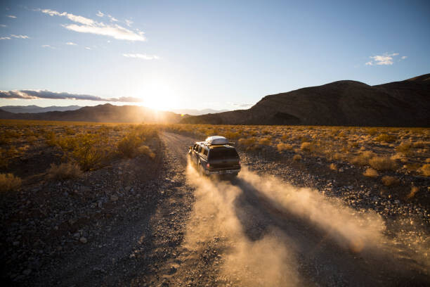
The 11ers are scattered all over the state, and it is standard to use vehicles to shuttle between the trail heads - unless establishing an entirely human-powered record. You can actually drive to the summit of some of the 11ers (particularly Washington and Grant). To keep this record sporting we will draw from the so-called "Colorado Rule", which says that the climber must ascend at least 3,000 vertical feet net elevation on foot from the base of the first peak in a series, and descend at least 3,000 vertical feet at the end of the series - if selecting "multi-sport" style an attempter could bike, ski, or glide these so long as no motor assist of any kind is used and if the attempter is doing an entirely human-powered endeavor they are welcome to ride the entirety of these peaks as their bike is able. The climber may descend less than 3,000 feet when traversing between peaks that are linked under human-power. Cave Dog's website gives a detailed discussion of the rules and some intricacies as it has been applied in Colorado. The key is to stop using motorized assistance at least 3000' below you first summit and until 3000' below your final summit of a link-up.
*Special access issue for Mount Grant - To access this peak you need to arrange in advance with the Army Depot in Hawthorne. You need to contact them and fill out a form. They will then do a background check on you and let you know if you can access the Mount Grant area. The day of the hike you need to go to the army base and park in the visitors lot outside the gate. Walk to the Visitor's building and the person there will give you a key to the gate. Then you have to drive to the small community of Walker Lake and drive up Cottonwood Canyon road until you reach the gate. It is possible to drive all the way to the summit of this mountain - stop 3000 vertical feet short of the summit.
Resources:
Peakbagger.com - Nevada 11ers List
Bob Burd
Youtube video
Contributed by Jason Hardrath (IG / Strava / Youtube)
Here's to the adventure!