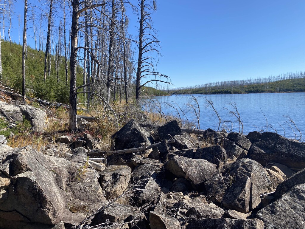
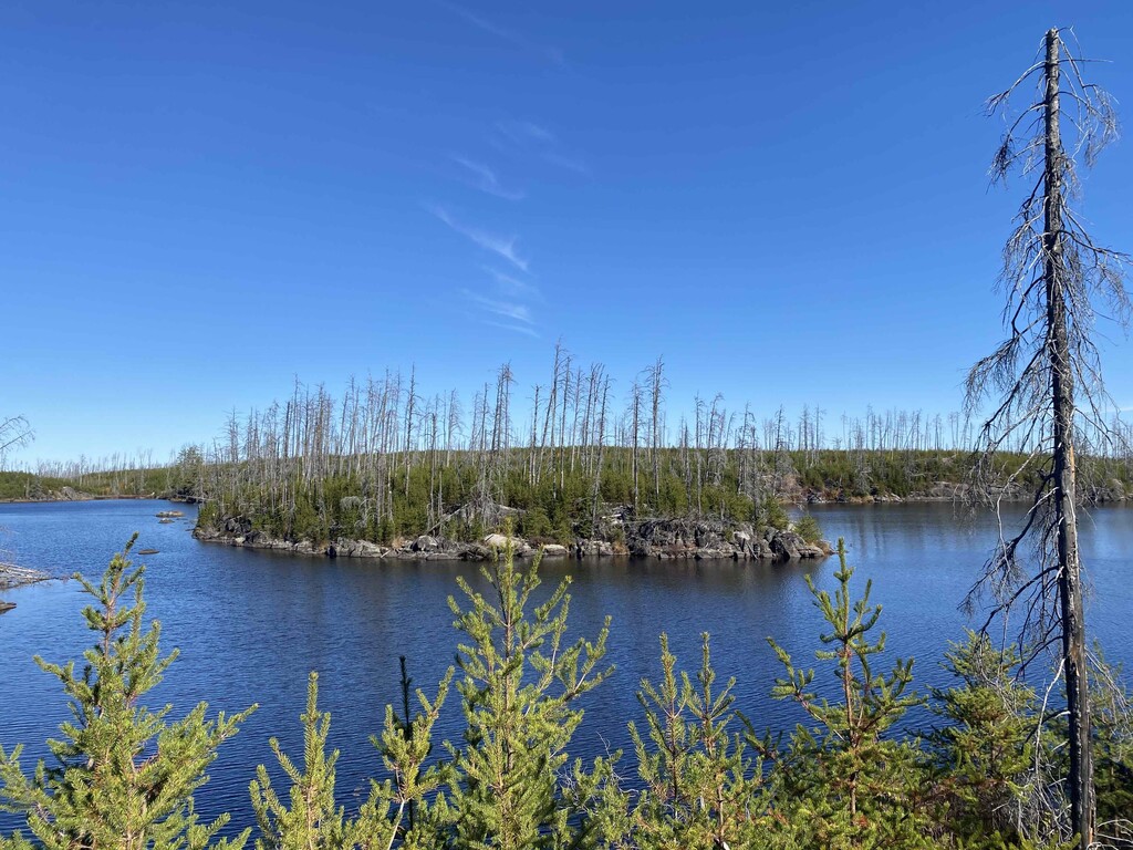
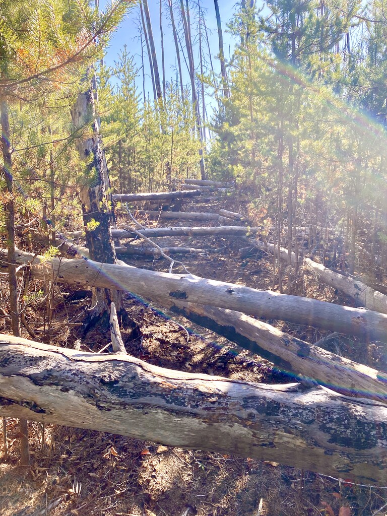
The Powwow Trail is located almost 100% within the Boundary Waters Canoe Area Wilderness. In the fall of 2011, the Pagami Creek Fire burned approximately 95% of the trail. Through the work of the Boundary Waters Advisory Committee and their volunteer crews, the trail has been reestablished, though it will still take many more years before the trail is fully cleared again. Always check that website, they do a great job updating the status of the trail as well as a fully developed trail guide with descriptions of each segment along the way. The biggest challenge in the coming years will be the clearing of the burned and dead trees that are still standing that will eventually fall. The jack pines that are growing back now are very dense and as the forest reclaims itself there will be a constant need to keep the trail open while the first grows around it.
This is definitely more of a backpacking trail than a trail running trail, though a run is worth the effort. For the trail runners, at the time of this running, there's about 14 miles in the middle that are completely unrunnable in any real sense. Part of that won't change - the path winds up and down the granite slabs and boulders along the lake side. However the part of the trail is also the most covered in fallen trees. Crews weren't able to get out this spring due to COVID so while the trail was more open last fall, the winter snow fall and summer storms have knocked over more trees clogging most of the trail.
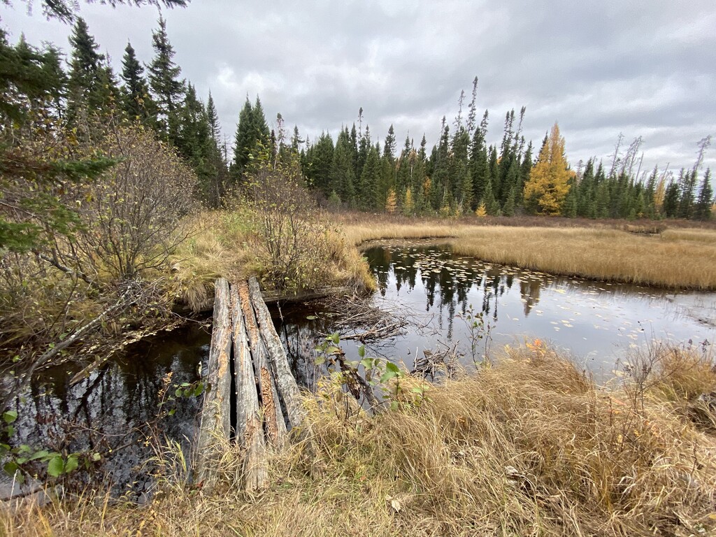
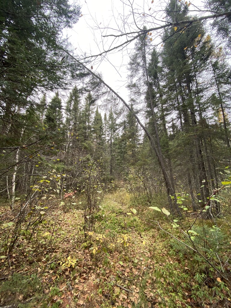
The route is a "lollipop" trail, 25 mile loop with a 3 mile out and back "stick". Going clockwise, including the stick, the first 10 miles run along old logging roads and are relatively flat and easy to follow. Just after mile 10 the trees start blocking the way, after mile 15 (after leaving Lake 3), the technical part of the terrain really kicks in and the trail winds up and down cliffs, steep hillsides, and boulders along the lake edge - that in addition to the fallen trees. From mile 24 to the end the trail opens back up and is more or less runnable again, the last 6 miles along a very old beaver dam with a very well established trail or back to the logging roads for a flat and quick finish.