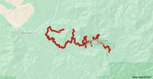
Location
Oregon,
US
Distance
22.74 mi
Vertical Gain
1,234 ft
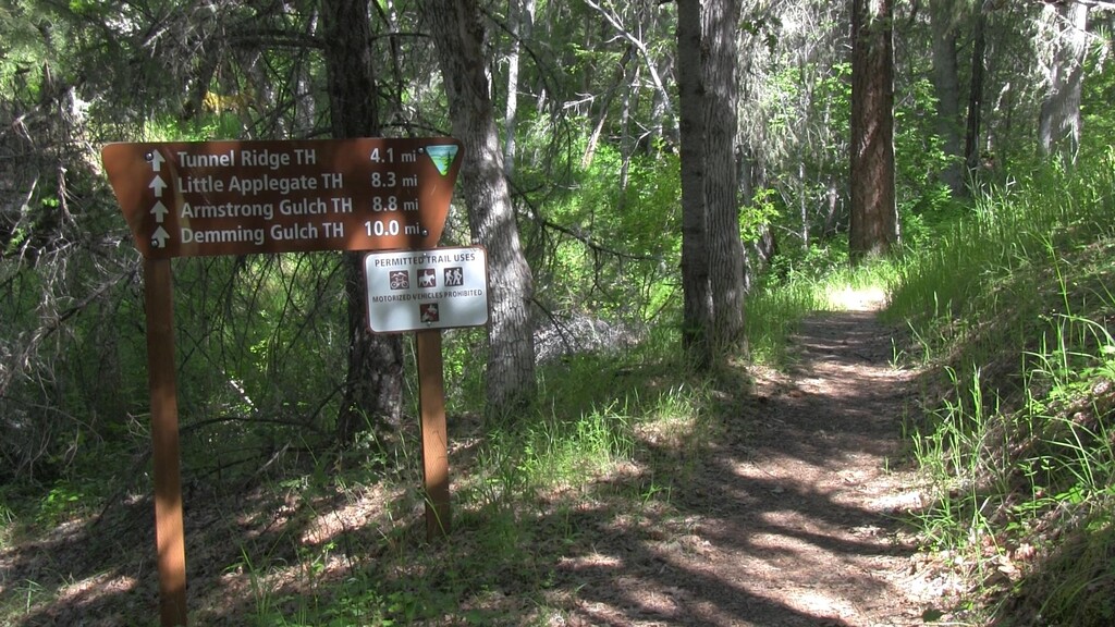
Description
GPS Track
Sterling Mine Ditch Trail.gpx102.2 KB
FKTs
Male
Female
| Jace Hinesly | 3h 12m 39s |
| Steven "Aria Zoner" Thompson | 4h 39m 15s |
| Angela Tieri | 3h 30m 44s |
Male
| Steven "Aria Zoner" Thompson | 13h 12m 22s |
Images
Comments
Running this today with a couple friends, will share the results :)
Looks like Jace beat me to it, but I’ll be running this tomorrow morning. I don’t know if FKT is in the cards as it’ll be a bit farther than anything I’ve done but I’m excited for the run!