Location
Sweden
Distance
55 km
Vertical Gain
445 m
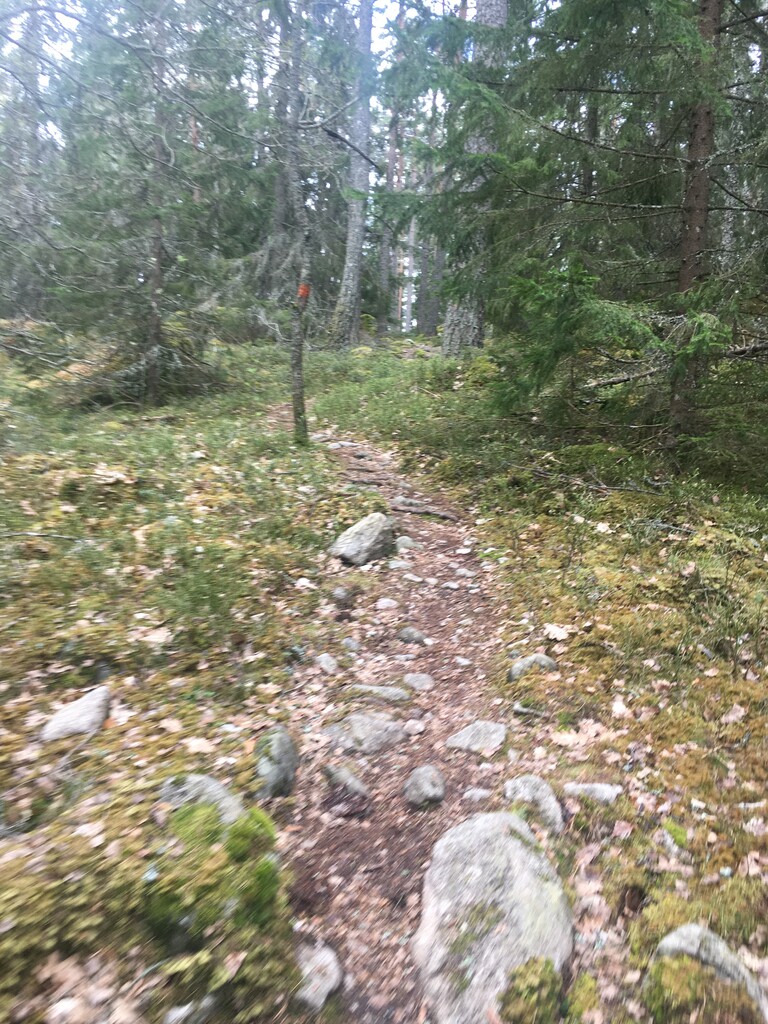
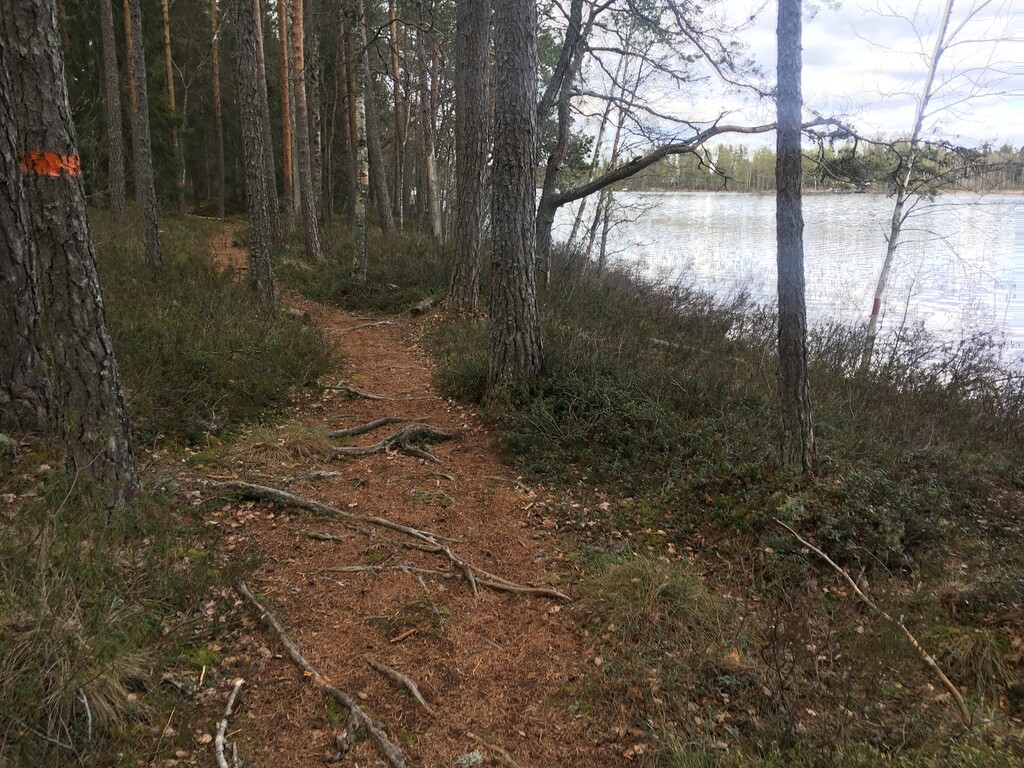
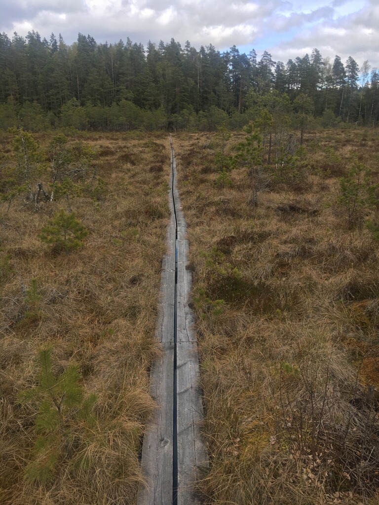
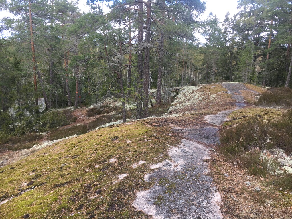
Description
GPS Track
Hammar_Time_50k_FKT.gpx7.16 MB
FKTs
Male
Mixed-gender team
Female
| Janne Aho | 5h 35m 23s | ||||
| Simon Gräsberg | 5h 36m 3s | ||||
| Ken Zemach | 6h 23m 21s | ||||
| Ken Zemach | 6h 27m 48s |
| Martin Larsson | 5h 57m 38s |
| Andreas Carlzon, Elin Tengbert, Mats Dahlén, Erik Källberg | 6h 8m 40s |
| Patrizia Strandman | 7h 18m 39s |
Images
Comments
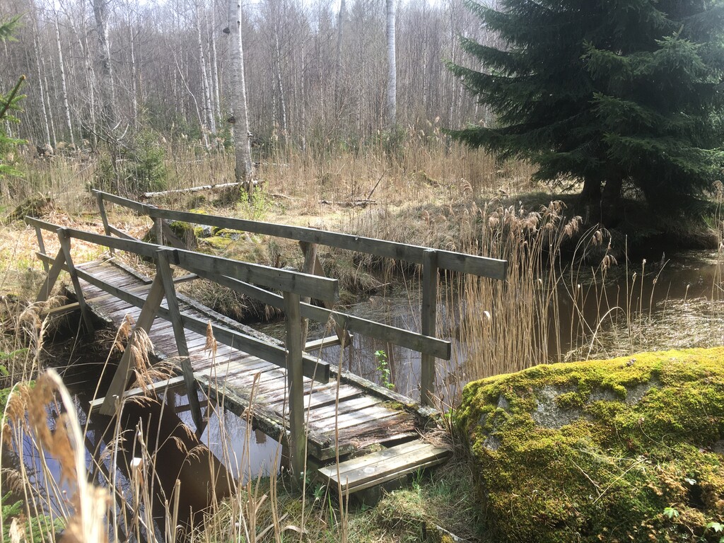
FKT attempt Aug 22nd 2020 in counterclockwise direction. I failed, too slow, did not have the speed that is needed in that terrain. Probably also a bad idea to try during summer time with a lot of vegetation. Next time I will try clockwise and during autumn or spring. The bridge is gone and the re-routed part of Bruksleden is longer. On the other hand it is possible to pass the small stream without the bridge but it took some extra time. I carried 3 liter of water to not use questionable water quality from the water spots, but a warm day as today, I would have preferred to be able to drink more water than I did.
Interestingly, Jakob pointed out that my GPX file from my Aug 2020 FKT on the new route has the time right, but is missing a bunch of the start data. I THINK what happened is that my watch didn't GPX lock in the beginning, which in itself is odd, since I damn well remember starting the watch in the parking lot by my car (not starting the activity though), ensuring I got a lock notice on the watch BEFORE starting the run. Either way, before I started the watch, I started GaiaGPS on my phone, then the watch, then when I finished pushed the watch, then pulled out the phone and stopped that. That data is here: https://www.gaiagps.com/datasummary/track/47cc27419d3d6c2437e6c39fb9b5677c/?layer=GaiaTopoRasterFeet
in case anyone wants to verify that I actually ran the damn thing!