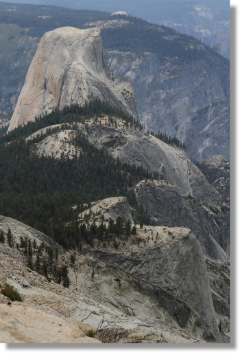
Route: Clouds Rest, Yosemite (CA)

Location
California, US
Distance
12.6 mi
Description

Cloud's Rest (9926') is one of Yosemite's most stunning and expansive view points. The trail to the top runs about 6 miles from Tenaya Lake, gaining 1775' in elevation in the process.

There is a Strava segment for the ascent, but we note that times reported by Strava are approximate.  Runners should report their actual time from the TH to the top.

A longer option (20 miles out & back) with a lot more vert (7000') starts at Happy Isle (described by Savanah Bergquist):

This is a beautiful route from Yosemite Valley up to the Cloud's Rest summit and back down again. Gorgeous views of the Valley, Nevada Falls, Liberty Cap, Mt. Broderick, North Dome, Half Dome, Quarter Dome, Mt. Starr King, Gray Peak. There is a Strava segment for the ascent (https://www.strava.com/segments/4056370), but this route is so good it needs its own FKT route for the out-and-back.

Start at the Mist Trail trailhead sign just across the Happy Isles Bridge/bustop. Run along the paved path following signs for the John Muir Trail (JMT) and Nevada falls. After crossing the river, follow the right fork for the JMT (this is the "winter route" up to Nevada falls). Continue on the switchbacks up the JMT, following it across Nevada falls. Cruise the sandy flats of Little Yosemite Valley and then take the right fork at the Half Dome trail head to stay on the JMT at mile 6. In about 0.7 miles, take a left at the next fork to get on the Sunrise Lakes Trail (signs for Tenaya Lake). Continue until the trail forks again and follow signs for Cloud's Rest (0.6 miles to go). Make your way up the final switchbacks and stone stairs to the summit! For the out-and-back, retrace the trail back down to the Mist Trail sign at Happy Isles (watch out for tourists on the descent!). 


Images