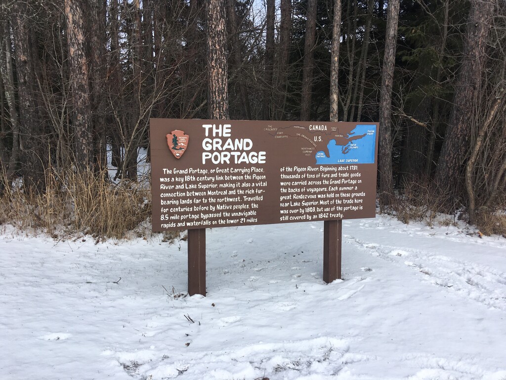
Location
Minnesota,
US
Distance
8.4 mi
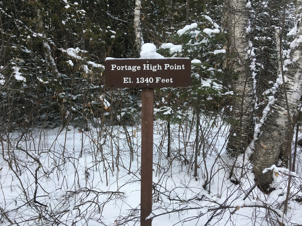
Vertical Gain
1,119 ft
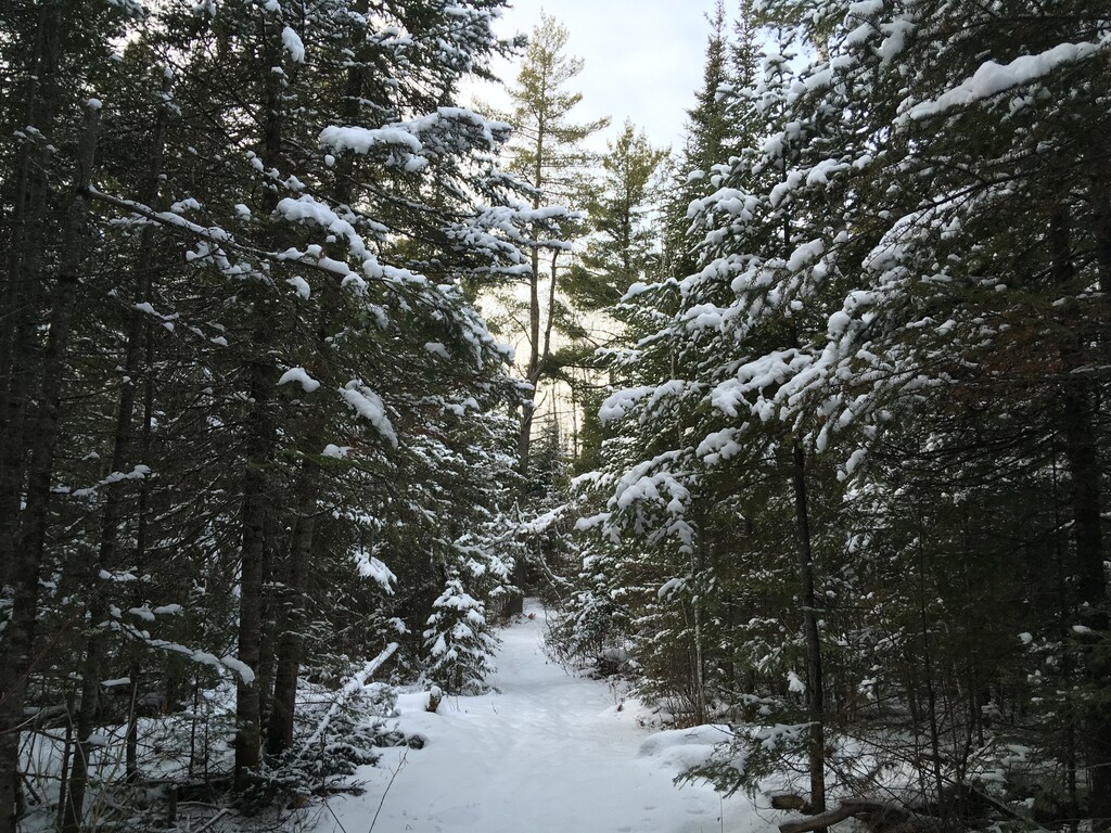
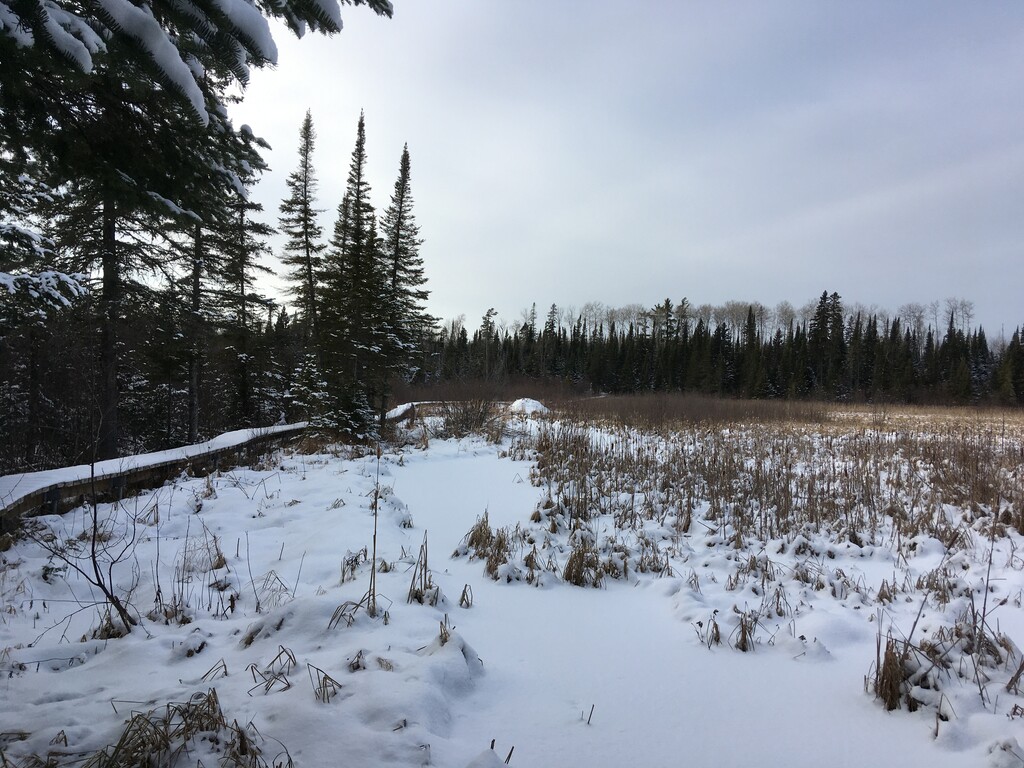
Description
GPS Track
5fda9eef1e32ee46baebf036.gpx577.87 KB
FKTs
Male
Mixed-gender team
| Mike Ward | 1h 4m 24s | ||||
| Matthew Matta | 1h 14m 25s | ||||
| Matthew Matta | 1h 45m 49s |
| Lisa Byrne, Tyler Behrends | 2h 9m 13s |
Male
Mixed-gender team
| Nick Swanson-Hysell | 2h 17m 8s | ||||
| Mike Ward | 2h 18m 42s | ||||
| Matthew Matta | 2h 37m 12s | ||||
| Tim O'Hearn | 2h 56m 46s | ||||
| Matthew Matta | 3h 42m 0s |
| Lisa Byrne, Tyler Behrends | 4h 23m 55s |
Images