Location
Massachusetts,
US
Distance
23.8 mi
Vertical Gain
5,937 m
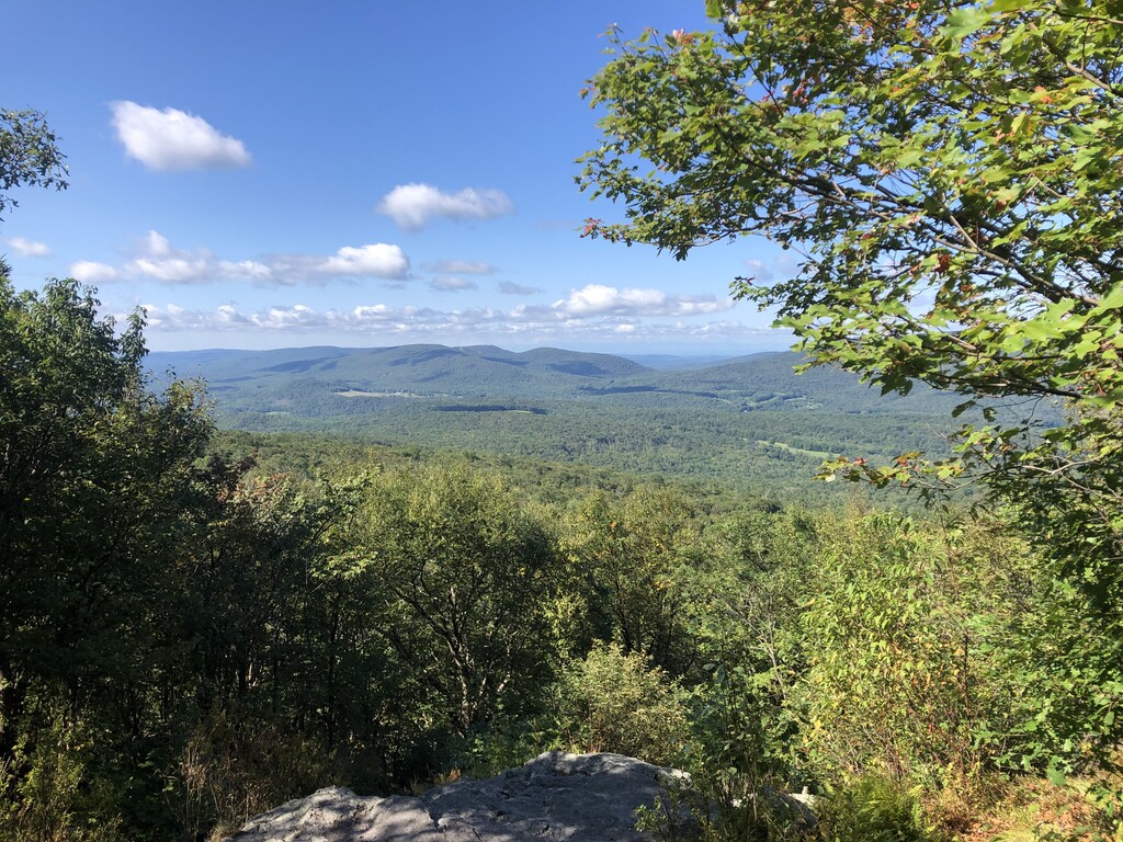
Description
GPS Track
Mount_Greylock_in_the_Round.gpx901.57 KB
FKTs
Male
Mixed-gender team
| Matt Pacheco | 3h 30m 56s | ||||
| Richie Rodriguez | 4h 44m 6s | ||||
| Iain Ridgway | 4h 49m 54s | ||||
| Jamie Norton | 5h 4m 45s |
| Cameron Cogburn | 4h 7m 26s |
| Rufus Chaffee, Brenda Fortin | 5h 35m 16s |
Images

Comments
Nice route! And I'll add that there's no markings at all to let you know when you're close to the summit of Mt. Fitch - I've been on that section of of the AT many times and I couldn't tell you where the "peak" is! I'm not quite sure what you screwed up with Prospect; it looks like you hit the vista and then did an out-and-back along the ridge to the big cairn (one of my favorite trails!). I know the high point is somewhere along that ridge but it's also not marked. If you had continued on that trail down to Money Brook, that's a crazy descent. The climb up to Prosect from Pattison Road is also pretty intense but there's really no way to link to anything else without a bunch of pavement. Love all these trails - awesome!
Hi Jay! I did hit the peak on Prospect, what I had intended to do was come up that "crazy descent" from Money Brook you mentioned, but somehow missed the left turn, so had to backtrack a bit to get back to the Prospect summit. It was definitely longer the way I did it, though much easier running so hard to say how much time I lost.