Location
California,
US
Distance
18.6 mi
Vertical Gain
5,523 ft
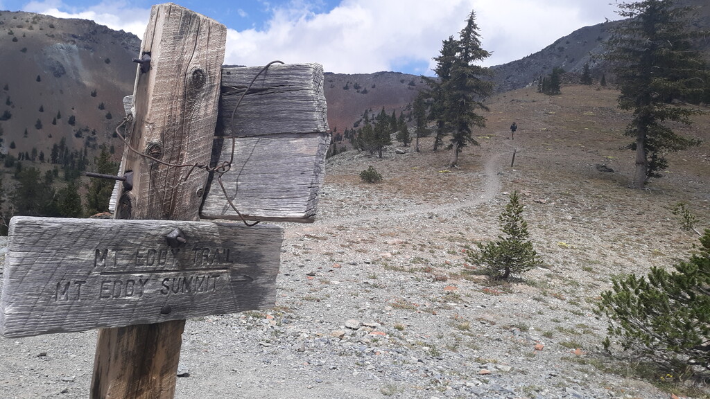
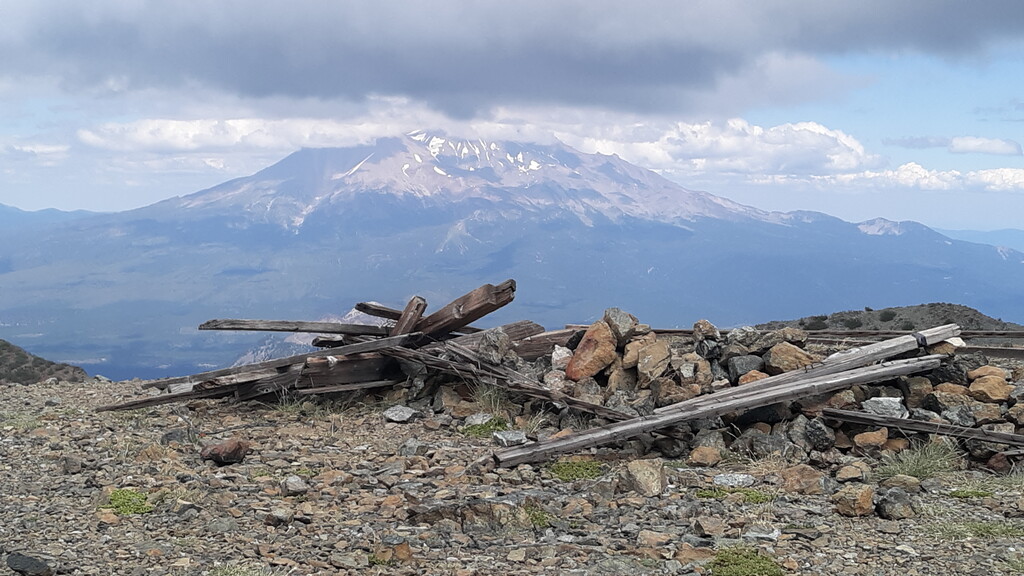
Description
GPS Track
FKTs
Male
Female
Mixed-gender team
| Chris Jones | 3h 6m 46s | ||||
| Jason Hardrath | 3h 46m 42s | ||||
| Will Olsen | 4h 39m 50s | ||||
| Mike Sears, Will Olsen | 4h 49m 55s | ||||
| Steven "Aria Zoner" Thompson | 6h 41m 22s |
| Lea Mulligan | 3h 37m 3s | ||||
| Jenna Kane | 3h 46m 12s | ||||
| Ashly Winchester | 4h 28m 58s |
| Kaitlin Allen, Zach Violett, Phillip Violett | 4h 32m 12s |
Images

Comments
Hey there, Aria Zoner! I'm interested in adding a female to this FKT. How clear was this trail? Clear enough to at least find it ok?
Thanks,
Becky
For hiking, this trail was already in great shape. The $100,000 just spent on this trail was to make it more mountain bike friendly, since that's mainly who's been utilizing this trail in recent years. I'm glad to see this route getting some foot traffic, as the summit climb from the upper PCT or Park Trailheads is practically flat and overly traveled. Before the PCT was put in, and the road from Stewart Springs paved, this was the preferred way to reach the summit. Once the upper trailheads were in, this part of the SC was almost forgotten about, till a recent push to revamp it was made. Putting this route up as an FKT is part of that push to revitalize this trail, and honor those who've created it.
Thanks so much for posting some hx on the SC .. The new "trail maintenance " grant that they used, was not at all associated with the trail association or trail builders .. it was a couple of forest service guys in a mini excavator that plowed a double track into the side of the hill.. I am pretty sure there was a big push to make it safer from the equestrian use advocates ..