Location
New South Wales,
AU
Distance
21.5 km
Vertical Gain
1,250 m
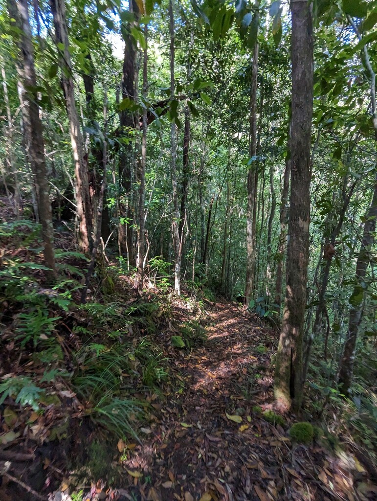
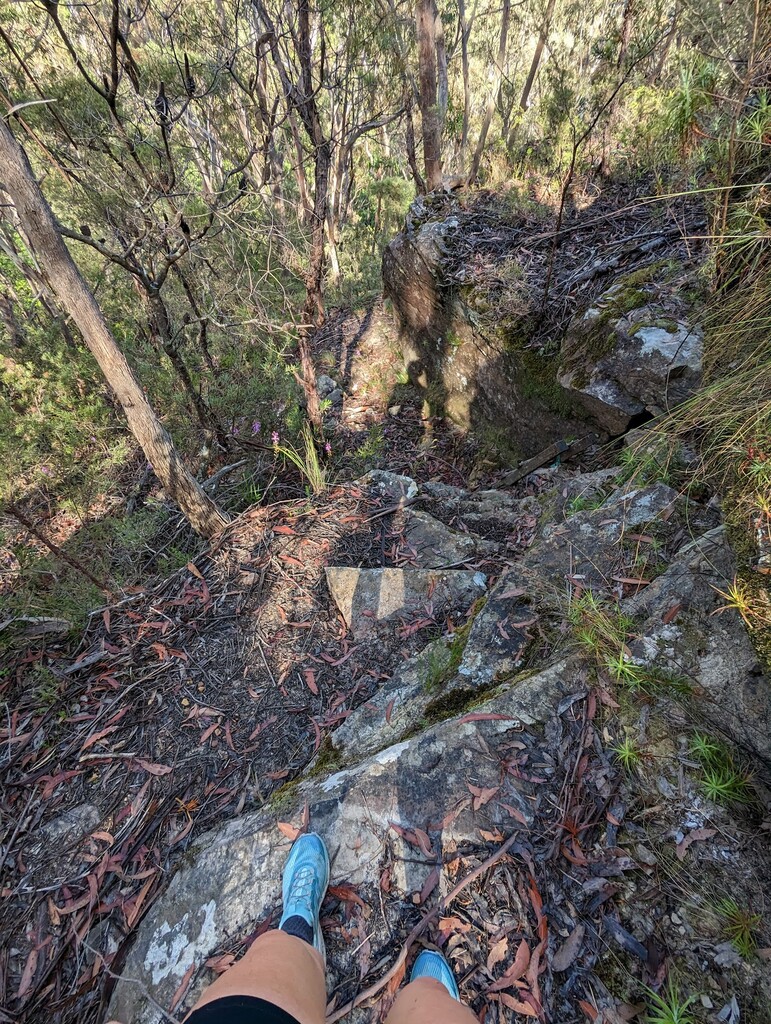
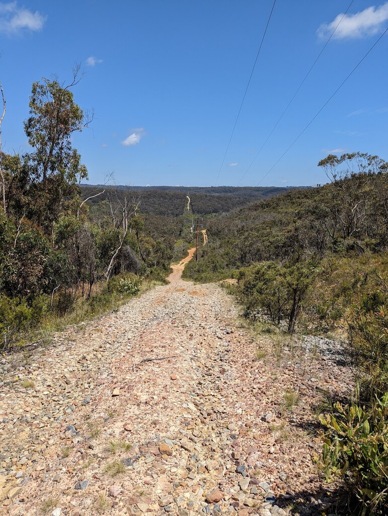
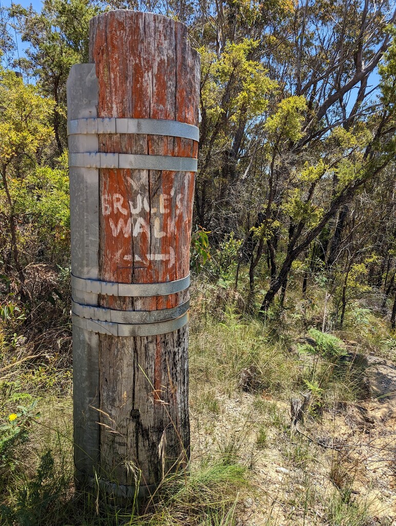
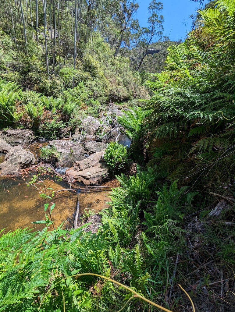
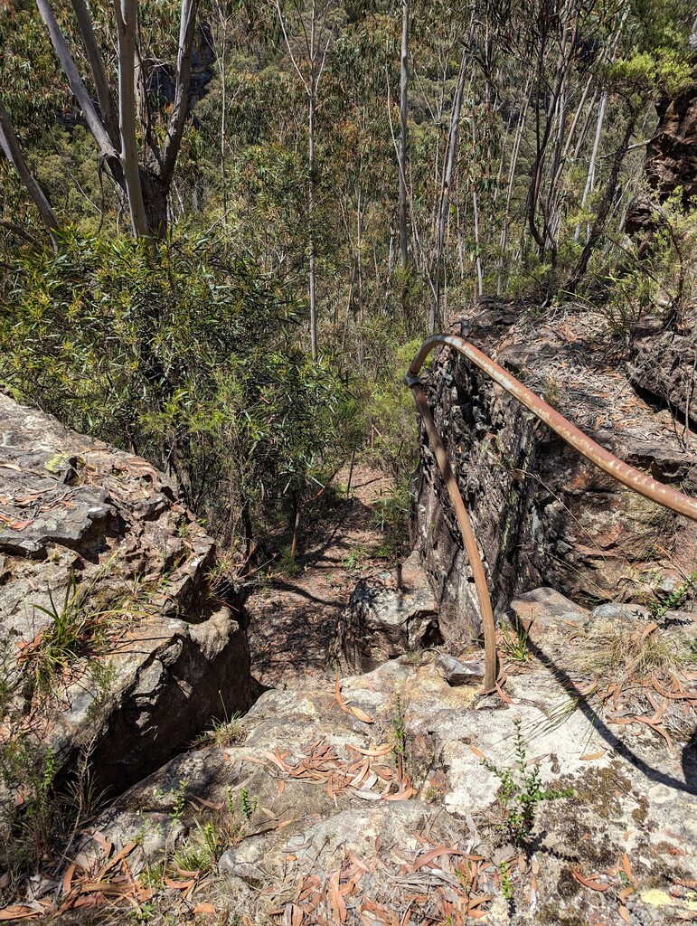
Description
GPS Track
Bruce's Walk East to West_0.gpx58.21 KB
FKTs
Female
Male
| Georgina Beech | 3h 9m 5s | ||||
| Rachel Dimond | 3h 19m 19s |
| Alexis Sellies | 3h 16m 4s | ||||
| Alexis Sellies | 3h 20m 11s | ||||
| Keith Jebb | 3h 56m 24s |
Male
| Keith Jebb | 4h 7m 5s |
Images
Comments
Looking forward to attempting this route next weekend in a (hopefully) sub 3 hour finish 😁
Well that was much harder than originally anticipated. The concentration and gradient of vert really slowed me down and getting lost in a swamp broke the camel’s back with a finishing time of 3h57m42s.
Thank you Rachel for not only submitting this FKT as a route, but also laying down a superb time that will be incredibly difficult to beat. I look forward to reattempting this route in the coming weeks or months around my other scheduled FKTs/races.
It's a really tough route to "run"! Even on the downhills it's hard to get a flow going. Strong hiking is absolutely key.
Love seeing you have a go Asellies. When I created this FKT my hope was that it would attract lots more people like yourself.
Look forward to seeing your next attempt!