Location
Colorado,
US
Distance
46.8 mi
Vertical Gain
10,960 ft
Description
GPS Track
FKTs
Male
Female
| Bo Raadam | 10h 13m 23s | ||||
| David Skelly | 11h 5m 58s |
| Tracy O'Brien | 11h 29m 4s | ||||
| Jill Seager | 11h 29m 18s | ||||
| Ilana Jesse | 13h 48m 29s |
Male
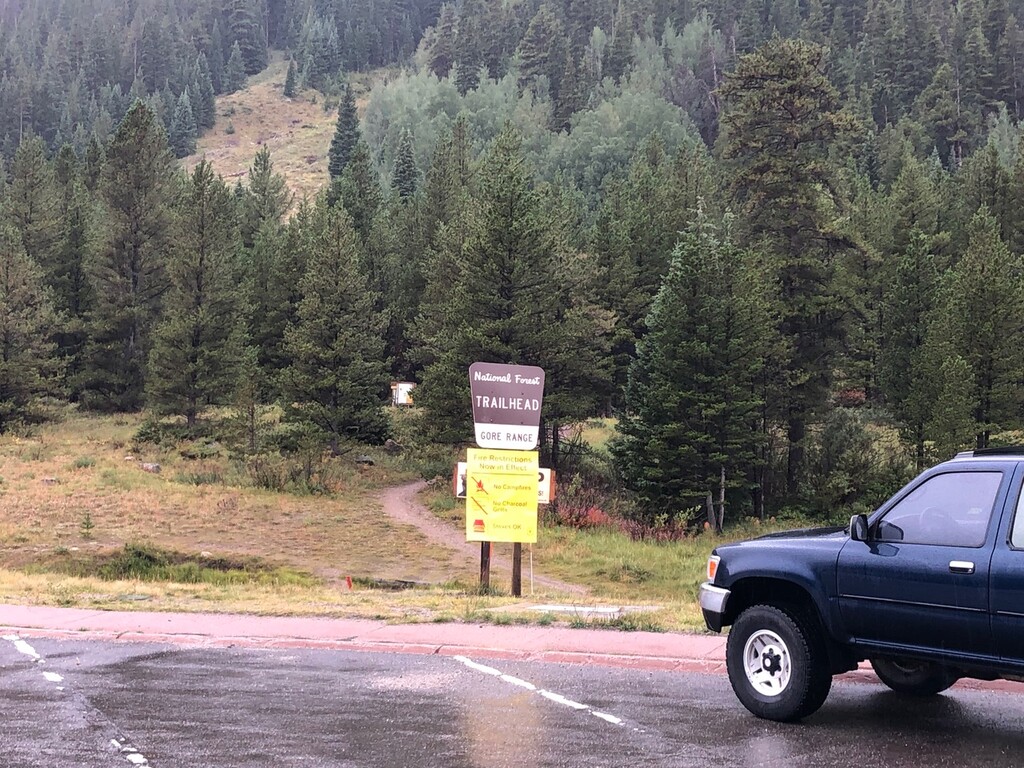
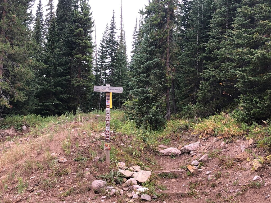
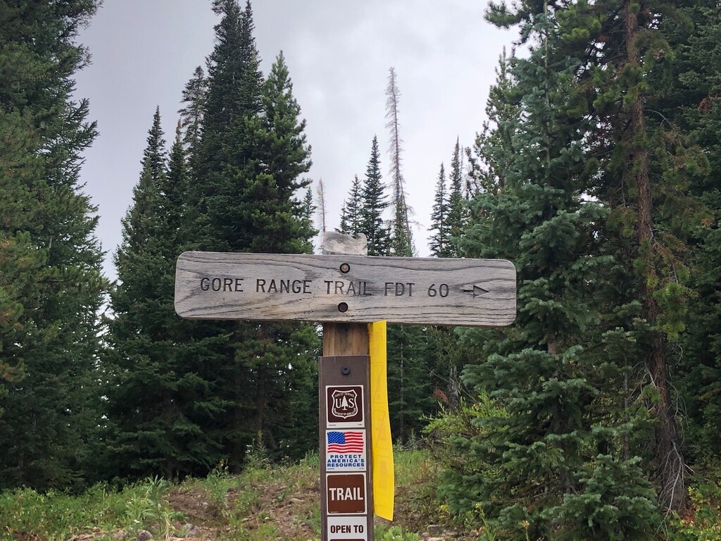
Images