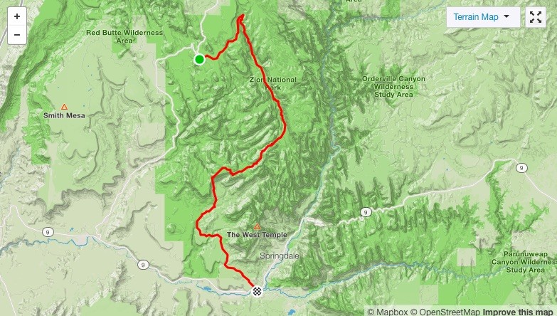
Location
Utah,
US
Distance
28.4 mi
Description
GPS Track
Zion_Downhill_Lava_Point.gpx2.22 MB
FKTs
Male
Mixed-gender team
| Chris Fisher, Erin Ton | 7h 59m 38s | ||||
| Marcy Beard, John Beard | 16h 56m 34s |
Images
Comments
John and I are planning a Zion downhill trek tomorrow, with a shuttle up to Lava Point. It's likely we'll follow the Buzz/Jared route on the bottom end, to pop out much closer to the shuttle stop instead of having to do 4+ road miles back to town. Not the fastest, but in this heat probably the most prudent plan. Nothing about this is ideal, but hey, we're here!
Tracker will be on:
https://share.garmin.com/MarcyBeard