Location
Iceland
Distance
516.9 km
Description
GPS Track
ICELAND FINAL COMBINED.gpx712.23 KB
FKTs
Male
Female
| Hunter Leininger | 6d 13h 12m 0s | ||||
| Christof Teuscher | 8d 11h 4m 0s | ||||
| Eli Burakian | 13d 2h 45m 0s | ||||
| Louis-Philippe Loncke | Flagged | 18d 15h 25m 0s |
| Meredith Quinlan, Jess Baker | 7d 13h 50m 0s |
Male
| Glen Baddeley | 10d 11h 26m 30s |
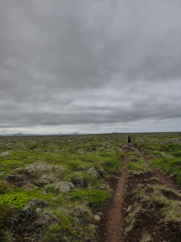
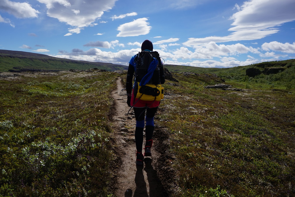
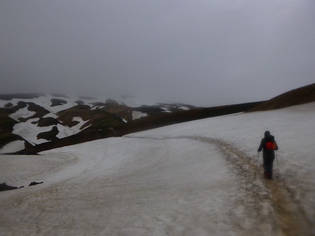
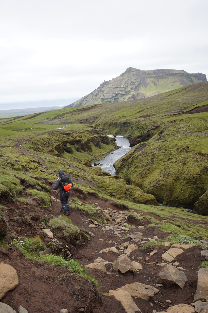
Images

Comments
Incredible! Congratulations to you both on what must have been a truly epic adventure in some hectic conditions. The photos look awesome!
Hi Guys! What awesome adventure! I'm planning a trip to Iceland this July to attempt a solo, unsupported fastpack of this route, and would love to chat with you about the logistics, nameably glacial run-off crossings & resupply. Please reach out if you have a minute. Thanks! alisa.geiser@gmail.com
I will be attempting an unsupported solo traverse of Iceland starting Monday, August 8.
https://share.garmin.com/EliBurakian
Did the first unsupported in 2010. Also my route is shorter but harder as I avoided sealed roads as much as possible. Mostly off track.
https://iceland-trek.blogspot.com/2010/08/path-debrief.html
My point are the most extreme North and South. The lighthouse is not the furthest north.
Hello all, i will be attempting an unsuported traverse along the Quinlan Baker route, starting day will be the 7 or 8 of july
Going for an unsupported & solo FKT attempt on Sat, Aug 19, 2023. Tracking and more info at https://www.christofteuscher.com/aagaa/news-unsupported-375mi-iceland-traverse-fkt-attempt
Congrats to Christof for a new FKT crossing Iceland. Hear about his in our podcast :-)
/Torben
I will atempt a fkt on this route starting on the 20/07/2024. This is the link for the tracker https://maps.findmespot.com/s/BW7M
Starting my unsupported solo FKT attempt on August 12th. Heading north to south! Here’s my tracking page: https://live.enabledtracking.com/Iceland2024/