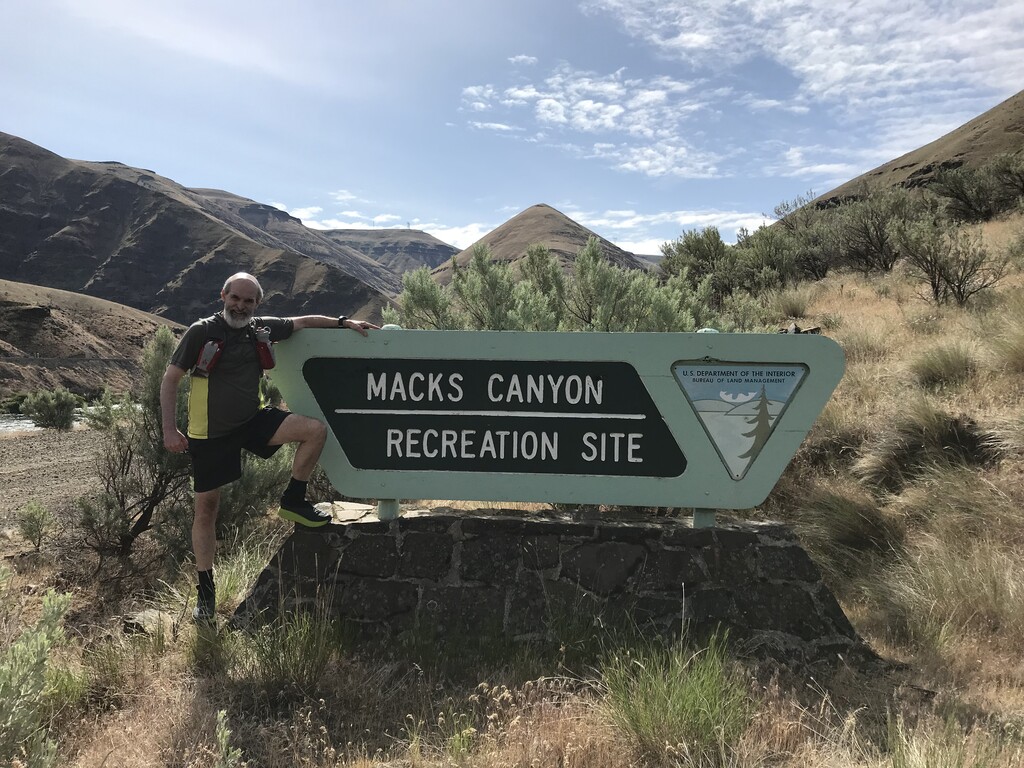
Location
Oregon,
US
Distance
23.1 mi
Vertical Gain
367 ft
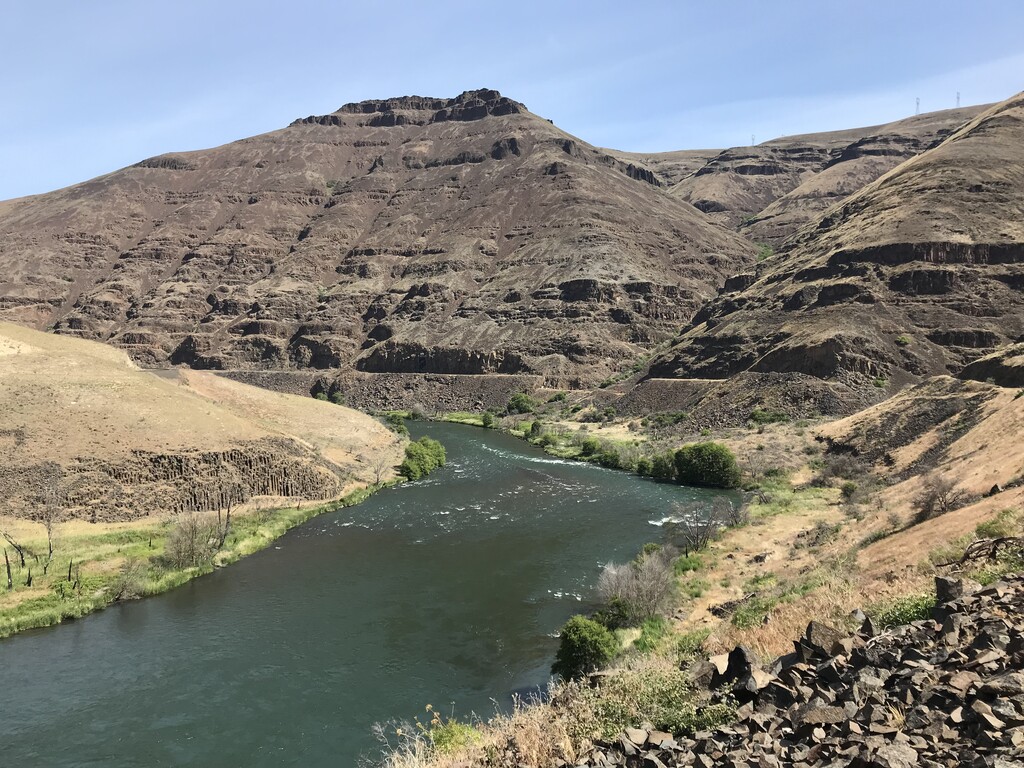
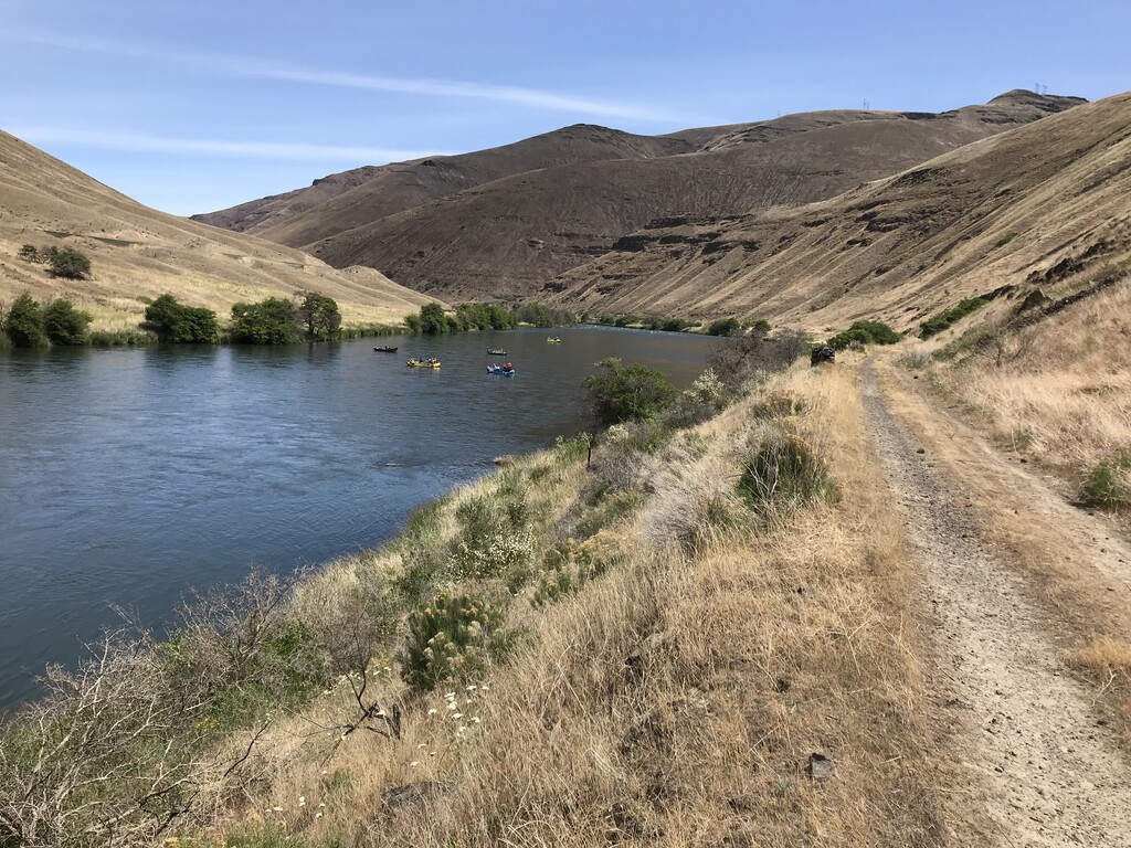
Description
GPS Track
FKTs
Male
Female
Male
Female
| Kevin Schneider | 6h 46m 36s | ||||
| Anthony Jay | 7h 4m 41s | ||||
| Adam Williams | 8h 29m 40s | ||||
| Greg Nance | 8h 40m 0s | ||||
| Willie McBride | 9h 27m 15s |
| Susan Oh | 7h 54m 22s | ||||
| Brittany Haver | 8h 40m 31s |
Images


Comments
Leaving a note here that Tabatha and myself are headed out this morning to (hopefully) set a female time on the one way route! Weather is pretty perfect! Looking forward to a beautiful run!
I’ll be attempting to lower the female time for the one way tomorrow morning. Hoping to go under 4 hours but we’ll see how it goes on the unmaintained section. Should be fun!
Plan on hitting the trail over the next couple of days. Unsupported. Dropped of at Mack's and picked up at the lower trail head.
On Saturday, May 29, 2021, I took a shot at Willie McBride's unsupported RT FKT. Came up short by 11 minutes, so I dubbed my attempt a #FailKT. Because I came up short, I'll save everyone a long-winded recap here; for anyone who wants more information (and photos) about the conditions, you can find them at my Strava link: https://www.strava.com/activities/5380260647
If that goes down, or you can't access it, feel free to give me a shout.
In short, the weather was my nemesis. Forecast high temps just kept creeping up during the week, and my guess is that it was mid-80s on the day of the run. But there is *zero* shade for long stretches, and the sun gets intense. I planned to, and did, carry 3.5L of liquid, with a refill at Macks Canyon, and it was still not enough, even after drinking a bunch at the turnaround (note: there is no water source, to my knowledge, at Macks, so I filtered at the boat launch). I was right on pace for the first 18, but the unmaintained section was rougher than I imagined, and that was a mental downer. I got my wits back, and was still feeling good on the return, but the wheels really fell off with about 10 to go; I simply couldn't keep even a modest jog without feeling really terrible. Ran out of liquid with 6 to go. So, given that there's no bail out option, and I was unsupported, I dialed it back to the best-maintainable pace, and waved a wistful goodbye to the FKT. Thinking back, I'm not sure where I could find the 11 minutes I needed. Even if I went faster in the unmaintained section, I might have crashed sooner with the heat and lack of liquids. About the only thing I can think of at the moment is that I should have filtered more water at one of the small trickles across the trail (I think there was one around 8 miles to go?). Maybe that would have done it.
I'm thinking about backpacking this in December, maybe as an overnighter. Where do people usually get water? In winter I'd guess the river probably isn't the cleanest, maybe it would be filterable but my intuition says it wouldn't be. Are there streams that are usually flowing? Any springs that would be recharged by then? Also, where are there campsites if any? Thank you!