This route is a local premier route for the single loop, while there are many other variations available.
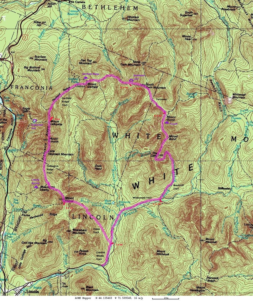
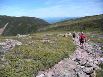
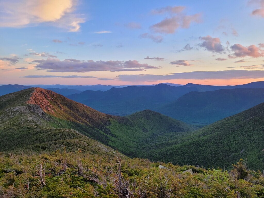
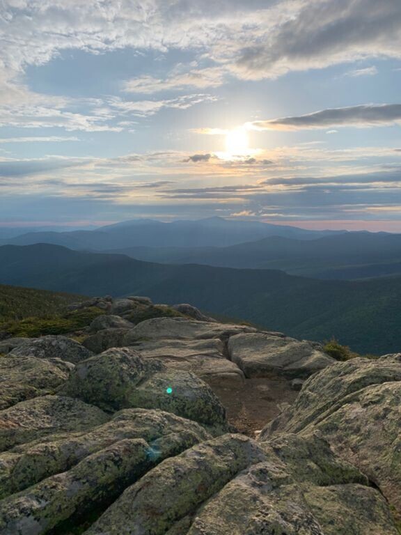
Description: The Pemigewasset Loop (Pemi) is a rugged, iconic loop in New Hampshire’s White Mountains, named America’s Second Hardest Dayhike in 2005. The route has aesthetic and logistic appeal because it is one of the few FKT’s in the northeast that traverses legendary terrain in a loop. The route starts and ends at the Lincoln Woods Trailhead parking lot (note that the Pemi Loop Strava segments are slightly shorter and do not reflect the whole FKT route) and traverses the entirety of Franconia Ridge, backbreaking Mt Garfield and South Twin, and the Bonds. The Loop also contains about 7 miles of clean running on a former railbed, forcing an aspiring FKT holder to be not only a great mountain athlete, but also a great pure runner.
Status: The Pemi Loop is the #2 ranked Northeast FKT. It is best practice to announce your attempt in advance, track your attempt diligently (GPS upload), and live-track your attempt if possible.
Support Style: The Pemi is generally run in an unsupported style, albeit the White Mountains version. Runners typically take water from Galehead Hut and maintain an unsupported classification.
Route History: The Men’s Pemi has a long list of FKTs, in part because no record has improved upon the previous run by more than 21 minutes, ending in about a 2 hour improvement in the FKT from 2005-2024. The Women’s record followed the same pattern of modest break until Brittany Clark’s 2020 run, which improved upon the previous FKT by approximately a minute per mile. For such a prestigious route, Clark’s run stands out as extremely strong against increasing competition. The main narrative on the men’s side is that the overall FKT was set by Jordan Fields on a day he was planning a training run with a friend. Jordan felt good and dropped his friend, setting a new FKT in an otherwise unsupported fashion and with suboptimal fueling. Nonetheless, his record has stood for years against an onslaught of sub 5:40 times despite a general conviction that there must be time left to gain due to the serendipitous nature of Jordan’s run.
Prior to the Ryan Welts FKT, the record for the Pemi Loop was held by Alex Kahl, at "about 7h25m" in (August?) 2005. Charles Dona reported doing 7h26m31s in September 2008, which seems to be close enough to "about 7h25m" to be considered a tie.
Media Coverage:
- The route was generally covered in a 2019 trip report by Joe McConaughy with significant references to the FKT.
- Ben Nephew released a trip report on his blog covering his 2015 FKT.
- Ben Thompson discussed his 2020 FKT on the Run the Whites podcast.
Route Variations: The Premier version of the Pemi is the single loop, without any additions. However, the Loop may be run clockwise or counterclockwise, and FKTs have been set in both directions. There are several variations to this route some of which have extensions and deviations to the premier route. All of these are great challenges on their own but are not regarded as premier.
This page has detailed information about the route. The Pemi Loop has a Strava Segment, but, the Segment starts & ends on the north side of the bridge over the East Branch Pemigewasset River. The FKT is car-to-car, so starting and ending at the parking lot. It's not a huge difference (about 500' total), but for such a competitive FKT it is important to have consistency.
Comments
I ran the Pemi Loop clockwise in 6h 22m 3s on July 11th, 2018. Not an FKT, but of note because it’s the 4th fastest time. Here’s the link to the GPS file:
https://www.strava.com/activities/1696101551
Hey everyone, I am planning my race and FKT attempt schedule for 2019 and the Pemi is top on my list. After analyzing previous attempts and map data, I believe that the fastest time will likely result from starting the attempt within the loop rather than the traditional Lincoln trailhead. I plan to hike in and camp near my start point the night before, and run either clockwise from a Mt. Bond start or counterclockwise from a Mt. Flume start. I believe that a clockwise approach from a Mt. Bond start will be the most efficient for me. It is my understanding, based on previous discussions, that an individual can choose any start point within a loop course as long as the entire distance is covered?
If you do it that way we would certainly report it as the FKT, unless someone comes up with a logical objection. Of course you need to do the out & back to the standard TH. It shouldn't matter where on the loop you start, as has been the case for some other loop routes (e.g., Wonderland Trail, Timberline Trail). That said, for aesthetic reasons I would consider it carefully. It's cool & valid to be innovative, but tradition/history is also important.
Thanks for the feedback Peter. I could potentially make two attempts, first as a course scouting/ possible FKT attempt from the traditional start point, and then a second attempt from the within loop start point I described. Tradition, and the history of this FKT, is very important. However, I think that others will inevitably use within loop start points as the time gets closer to 5 hours for the Pemi.
I’m not sure why you prefer that (I’d go CCW from the trailhead like Adam), but it’s legit in my book. As long as you cross the bridge and tag the ranger station at the Lincoln Woods trailhead when you’re in the valley, starting from Liberty/Guyot/Garfield/Galehead would still cover the same distance and elevation.
Why do you think starting from Bond would be faster? Definitely not obvious to me!
I believe that a start from Flume counterclockwise or Bond (probably mid descent) clockwise will give most runners an advantage if mountain/ technical trail running ability is similar because they will be running the less technical parts of the course on fresh legs. At least for me, it would be an advantage to run those miles with fresh legs. I have more time to gain by running it that way. I probably won’t end up trying it this year, but it seems like it would be a fun run!
Hey folks! Stringbean here, going after the FKT on the Pemi this weekend in pursuit of Patrick Caron's blazing fast time tomorrow, 10/26. I will be departing tomorrow morning self-supported and will report back with any updates.
I will be using a COROS Vertix and taking a few photos along the way. Currently raining and freezing temperatures overnight, the elements are most certainly not on my side. Chances look slim at going sub 6, but it should a fun little adventure, at the very least. First updates will be posted on my instagram @thestring.bean
I made a short (less than four minute) video that plays back some of the recent FKTs and other fast attempts on the Pemi loop. Kind of like Strava flybys if you're familiar with that, but made in Google Earth.
https://youtu.be/FPPJYN1wBSA
That video is really cool! Almost as cool as having a full on race on the route!
Updated the video with 2020 times https://youtu.be/Dwqtyd4N5WA
New to the site and was curious what I was unable to dl the above gpx file, says access denied?
Regional Editor Note: As a brief historical note it looks like Alister Gardner was the second person to go sub-6hr the same day, but slightly after Patrick ran his blazing time. Alister ran a 5:56:22 on 8/11/2018. He ran it supported but as Patrick's time was an unsupported and faster (and hour earlier) it doesn't get on the board as an FKT.
https://www.strava.com/activities/1772433373/overview
I will be Running clockwise on the Pemi loop. Will be starting tomorrow morning around 8 o’clock and plan to run and unsupported. I will be carrying a few thousand calories and two filtered soft flask bottles. Date will be June 16 2021. This is my first attempt at an FKT. I won’t be taking any outside aid and plan to filter my water at the designated areas. This should be a lot of fun. I can’t wait to get out there and give it my best.✌️
I ran the single Pemi loop in the clockwise direction on August 23rd, 2021 in a time of 5hrs37min44sec. 1min13sec off Kuenzle's current unsupported FKT. Close but no cigar, figured it was notable
https://www.strava.com/activities/5841835739/overview
Ryan Williams asked a few of us to comment on the inclusion of the Garfield summit on this route.
My policy has always been to follow the route of the person who set the FKT. Debates to include various summits on routes could get endless. With this situation, it is pretty minor, and if someone can set the FKT with Garfield, than it should be included from then on. However, deciding on route changes by committee is not the way to go in general, similar with deferring to what is written in a guidebook. That type of thing has and will lead to confusion. If someone posts an FKT, that is the route. Unless I am mistaken, changes based on a runner's opinion of the route are not permitted.
Has anyone claimed the winter loop yet?
I finished it yesterday at turtle pace:
https://www.strava.com/activities/6810189791
Anything below tree line had deep snow soft in most places best with snowshoes. Above tree line was bare rock covered occasionally with ice.
Temperature was reasonable all day hovering just below freezing. Wind was mild above tree line.
Had plenty of food. Found one water source half way at Garfield camp site.
I'll be attempting a pemi loop with my dog, Blue, on 1/31. Weather looks fair, but trail reports show a lot of deep snow drifts. We will do our best!
I’ll be attempting a double pemi loop, self supported. Starting this evening 7/25/25. Will keep posted!
I will be attempting the single Pemi loop FKT unsupported on 7/3/26. I will be tracking my run on both my Coros Pace 4 and Gaia GPS. I am going after Jake Acito's record of 5h 32m 34s but hope to gain the overall record set by Jordan Fields. I have grown up in NH hiking the 4k footers with my mom and brothers and it would be pretty special to hold the FKT on my favorite loop! I will give it my best shot.
Unfortunately upon further planning the Lincoln woods trailhead is closed until November I will have to wait.